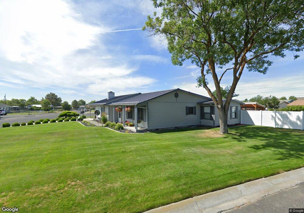
838 Sunkist Dr Moses Lake, WA 98837
Estimated Value: $350,000 - $430,000
3
Beds
2
Baths
2,226
Sq Ft
$170/Sq Ft
Est. Value
About This Home
This home is located at 838 Sunkist Dr, Moses Lake, WA 98837 and is currently estimated at $378,154, approximately $169 per square foot. 838 Sunkist Dr is a home located in Grant County with nearby schools including Knolls Vista Elementary School, Frontier Middle School, and Moses Lake High School.
Ownership History
Date
Name
Owned For
Owner Type
Purchase Details
Closed on
Apr 8, 2019
Sold by
Arriola Laraine
Bought by
Grant David Andrew and Grant Tammy Ann
Current Estimated Value
Home Financials for this Owner
Home Financials are based on the most recent Mortgage that was taken out on this home.
Original Mortgage
$169,000
Outstanding Balance
$148,581
Interest Rate
4.3%
Mortgage Type
Purchase Money Mortgage
Estimated Equity
$229,573
Purchase Details
Closed on
Nov 17, 2009
Sold by
Arriola Laraine
Bought by
Arriola Laraine
Create a Home Valuation Report for This Property
The Home Valuation Report is an in-depth analysis detailing your home's value as well as a comparison with similar homes in the area
Home Values in the Area
Average Home Value in this Area
Purchase History
| Date | Buyer | Sale Price | Title Company |
|---|---|---|---|
| Grant David Andrew | $269,000 | Frontier Title | |
| Arriola Laraine | -- | None Available |
Source: Public Records
Mortgage History
| Date | Status | Borrower | Loan Amount |
|---|---|---|---|
| Open | Grant David Andrew | $169,000 |
Source: Public Records
Tax History Compared to Growth
Tax History
| Year | Tax Paid | Tax Assessment Tax Assessment Total Assessment is a certain percentage of the fair market value that is determined by local assessors to be the total taxable value of land and additions on the property. | Land | Improvement |
|---|---|---|---|---|
| 2024 | $2,454 | $205,937 | $45,300 | $160,637 |
| 2023 | $2,283 | $208,195 | $30,055 | $178,140 |
| 2022 | $2,500 | $208,195 | $30,055 | $178,140 |
| 2021 | $2,500 | $208,195 | $30,055 | $178,140 |
| 2020 | $2,471 | $201,970 | $30,055 | $171,915 |
| 2019 | $2,519 | $172,560 | $30,055 | $142,505 |
| 2018 | $2,496 | $158,465 | $30,055 | $128,410 |
| 2017 | $2,431 | $155,590 | $27,025 | $128,565 |
| 2016 | $2,689 | $171,575 | $25,000 | $146,575 |
| 2013 | -- | $149,060 | $25,000 | $124,060 |
Source: Public Records
Map
Nearby Homes
- 857 N Vista Dr
- 630 W Loop Dr
- 614 W Loop Dr
- 920 NW Sunburst Ct
- 91 W Central Dr
- 525 N Dune Rd
- 414 N Washington St
- 519 N Clark Rd
- 515 N Clark Rd
- 928 N Washington Ct
- 900 N Grape Dr Unit 22
- 900 N Grape Dr Unit 67B
- 900 N Grape Dr Unit 46
- 900 N Grape Dr Unit 36
- 900 N Grape Dr Unit 49
- 900 N Grape Dr Unit 94
- 721 Rockport St
- 1004 W Virginia St
- 345 W Ridge Rd
- 1036 W Luta St
- 838 N Sunkist Dr
- 713 W Village Ave
- 830 Sunkist Dr
- 837 Sunkist Dr
- 702 W Village Ave
- 825 Sunkist Dr
- 820 Sunkist Dr
- 714 W Village Ave
- 714 W Village Ave
- 635 W Village Ave
- 805 NW Sunburst Ct
- 809 NW Sunburst Ct
- 801 NW Sunburst Ct
- 813 NW Sunburst Ct
- 816 Sunkist Dr
- 725 NW Sunburst Ct
- 636 W Village Ave
- 820 N Vista Dr
- 817 NW Sunburst Ct
- 824 N Vista Dr