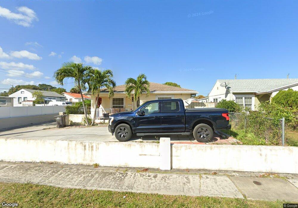
839 Bunker Rd West Palm Beach, FL 33405
Dreher Park NeighborhoodEstimated Value: $507,080 - $609,000
3
Beds
2
Baths
1,890
Sq Ft
$295/Sq Ft
Est. Value
About This Home
This home is located at 839 Bunker Rd, West Palm Beach, FL 33405 and is currently estimated at $557,520, approximately $294 per square foot. 839 Bunker Rd is a home located in Palm Beach County with nearby schools including Palmetto Elementary School, Conniston Middle School, and Forest Hill Community High School.
Ownership History
Date
Name
Owned For
Owner Type
Purchase Details
Closed on
Dec 23, 2005
Sold by
Diaz Marino
Bought by
Miah Mohammed Mustafa
Current Estimated Value
Home Financials for this Owner
Home Financials are based on the most recent Mortgage that was taken out on this home.
Original Mortgage
$276,000
Outstanding Balance
$169,191
Interest Rate
7.95%
Mortgage Type
Fannie Mae Freddie Mac
Estimated Equity
$388,329
Create a Home Valuation Report for This Property
The Home Valuation Report is an in-depth analysis detailing your home's value as well as a comparison with similar homes in the area
Home Values in the Area
Average Home Value in this Area
Purchase History
| Date | Buyer | Sale Price | Title Company |
|---|---|---|---|
| Miah Mohammed Mustafa | $345,000 | Universal Land Title Inc |
Source: Public Records
Mortgage History
| Date | Status | Borrower | Loan Amount |
|---|---|---|---|
| Open | Miah Mohammed Mustafa | $276,000 |
Source: Public Records
Tax History Compared to Growth
Tax History
| Year | Tax Paid | Tax Assessment Tax Assessment Total Assessment is a certain percentage of the fair market value that is determined by local assessors to be the total taxable value of land and additions on the property. | Land | Improvement |
|---|---|---|---|---|
| 2024 | $1,932 | $122,360 | -- | -- |
| 2023 | $1,867 | $118,796 | $0 | $0 |
| 2022 | $1,824 | $115,336 | $0 | $0 |
| 2021 | $1,798 | $111,977 | $0 | $0 |
| 2020 | $1,776 | $110,431 | $0 | $0 |
| 2019 | $1,739 | $107,948 | $0 | $0 |
| 2018 | $1,600 | $105,935 | $0 | $0 |
| 2017 | $1,546 | $103,756 | $0 | $0 |
| 2016 | $1,529 | $101,622 | $0 | $0 |
| 2015 | $1,556 | $100,916 | $0 | $0 |
| 2014 | $1,556 | $100,115 | $0 | $0 |
Source: Public Records
Map
Nearby Homes
- 727 Glenridge Dr
- 711 Fernwood Dr
- 5423 Garden Ave
- 702 Fernwood Dr
- 5511 Columbus Rd
- 5519 Columbus Rd
- 944 Hansen St
- 5815 Garden Ave
- 717 Selkirk St
- 924 Mcintosh St
- 953 Churchill Rd
- 1035 Soelca Dr
- 911 Mcintosh St
- 850 Green St
- 946 Mcintosh St
- 815 Green St
- 1025 Selkirk St
- 1041 W Lakewood Rd
- 815 Nathan Hale Rd
- 516 Puritan Rd
- 835 Bunker Rd
- 5414 Parker Ave
- 5420 Parker Ave
- 831 Bunker Rd
- 827 Bunker Rd
- 5406 Parker Ave
- 836 Summit Blvd
- 832 Summit Blvd
- 836 Bunker Rd
- 842 Bunker Rd
- 832 Bunker Rd
- 850 Summit Blvd Unit Efficiency
- 850 Summit Blvd
- 850 Summit Blvd Unit B
- 828 Summit Blvd
- 5500 Parker Ave
- 823 Bunker Rd
- 828 Bunker Rd
- 5417 Parker Ave
- 824 Summit Blvd
