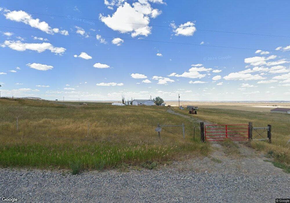
839 Michael Ln Billings, MT 59105
Estimated Value: $397,000 - $443,722
About This Home
This home is located at 839 Michael Ln, Billings, MT 59105 and is currently estimated at $415,181, approximately $166 per square foot. 839 Michael Ln is a home with nearby schools including Independent Elementary School, Castle Rock Junior High School, and Skyview High School.
Ownership History
We collect this data history from publicly available records. To have your information removed, we recommend requesting removal directly through your county’s website.
Purchase Details
Home Financials for this Owner
Home Financials are based on the most recent Mortgage that was taken out on this home.Purchase History
We collect this data history from publicly available records. To have your information removed, we recommend requesting removal directly through your county’s website.
| Date | Buyer | Sale Price | Title Company |
|---|---|---|---|
| -- | None Available |
Mortgage History
We collect this data history from publicly available records. To have your information removed, we recommend requesting removal directly through your county’s website.
| Date | Status | Borrower | Loan Amount |
|---|---|---|---|
| Open | $78,298 |
Tax History
We collect this data history from publicly available records. To have your information removed, we recommend requesting removal directly through your county’s website.
| Year | Tax Paid | Tax Assessment Tax Assessment Total Assessment is a certain percentage of the fair market value that is determined by local assessors to be the total taxable value of land and additions on the property. | Land | Improvement |
|---|---|---|---|---|
| 2025 | $2,293 | $407,429 | $97,249 | $310,180 |
| 2024 | $2,293 | $342,326 | $75,806 | $266,520 |
| 2023 | $2,290 | $342,326 | $75,806 | $266,520 |
| 2022 | $2,124 | $278,622 | $0 | $0 |
| 2021 | $2,129 | $278,622 | $0 | $0 |
| 2020 | $2,145 | $269,306 | $0 | $0 |
| 2019 | $2,157 | $269,306 | $0 | $0 |
| 2018 | $2,167 | $249,132 | $0 | $0 |
| 2017 | $2,176 | $249,132 | $0 | $0 |
| 2016 | $1,958 | $240,082 | $0 | $0 |
| 2015 | $1,845 | $240,082 | $0 | $0 |
| 2014 | $1,593 | $107,492 | $0 | $0 |
Map
- 1125 Michael Ln
- 945 Lorraine St
- 627 Pine Rock Blk 5 Lot 2 Trail
- 631 Pine Rock Blk 5 Lot 1 Trail
- Block 4, Lot 9 Pine Rock Trail
- 630 Pine Rock Blk 4 Lot 10 Trail
- TBD Pine Rock Blk 1 Lot 1 Trail
- TBD Ridge Rock Bk 2 Lot 6 Trail
- 404 Pine Rock Blk 3 Lot 5 Trail
- TBD Pine Rock Blk 3 Lot 8 Trail
- TBD Pine Rock Blk 3 Lot 6 Trail
- 514 Pine Rock Blk 3 Lot 7 Trail
- 4901 Country View Dr
- TBD Sage Rock Blk 1 Lot 2 Trail
- 637 Sage Rock Blk 4 Lot 2 Trail
- 627 Sage Rock Blk 4 Lot 3 Trail
- TBD Sage Rock Blk 1 Lot 3 Trail
- TBD Twisted Rock Blk 4 Lot 5 Trail
- 409 Sage Rock Blk 3 Lot 3 Trail
- TBD Sage Rock Bk 3 Lot 1 Trail
- 00 Highway 87
- 0 Highway 87
- 929 Michael Ln
- TBD Michael Ln
- 1000 Michael Ln
- 5649 Us Highway 87 N
- 5649 Us Highway 87 N
- 1110 Michael Ln
- 1124 Michael Ln
- 947 High Ridge Dr
- 1155 High Ridge Dr
- 5555 Deadwood Dr
- 1109 Muckle Dr
- 5542 Deadwood Dr
- 1005 Cedar Hill Place
- 1111 High Ridge Dr
- 5510 Deadwood Dr
- TBD Cedar Hill Place
- 5512 Deadwood Dr
- 1015 Cedar Hill Place
Ask me questions while you tour the home.