839 Nh Route 12a Cornish, NH 03745
Estimated Value: $368,000 - $570,000
3
Beds
2
Baths
1,576
Sq Ft
$304/Sq Ft
Est. Value
About This Home
This home is located at 839 Nh Route 12a, Cornish, NH 03745 and is currently estimated at $479,254, approximately $304 per square foot. 839 Nh Route 12a is a home located in Sullivan County with nearby schools including Cornish Elementary School and Foundations Upper Valley.
Ownership History
Date
Name
Owned For
Owner Type
Purchase Details
Closed on
Jul 19, 2011
Sold by
Walsh Robert P and Walsh Vicki J
Bought by
Marsha B Knight Ret
Current Estimated Value
Home Financials for this Owner
Home Financials are based on the most recent Mortgage that was taken out on this home.
Original Mortgage
$192,500
Outstanding Balance
$130,950
Interest Rate
4.58%
Mortgage Type
Purchase Money Mortgage
Estimated Equity
$348,304
Create a Home Valuation Report for This Property
The Home Valuation Report is an in-depth analysis detailing your home's value as well as a comparison with similar homes in the area
Home Values in the Area
Average Home Value in this Area
Purchase History
We collect this data history from publicly available records. To have your information removed, we recommend requesting removal directly through your county’s website.
| Date | Buyer | Sale Price | Title Company |
|---|---|---|---|
| Marsha B Knight Ret | $242,500 | -- |
Source: Public Records
Mortgage History
We collect this data history from publicly available records. To have your information removed, we recommend requesting removal directly through your county’s website.
| Date | Status | Borrower | Loan Amount |
|---|---|---|---|
| Open | Marsha B Knight Ret | $192,500 | |
| Previous Owner | Marsha B Knight Ret | $213,000 |
Source: Public Records
Tax History
| Year | Tax Paid | Tax Assessment Tax Assessment Total Assessment is a certain percentage of the fair market value that is determined by local assessors to be the total taxable value of land and additions on the property. | Land | Improvement |
|---|---|---|---|---|
| 2025 | $8,470 | $489,600 | $157,800 | $331,800 |
| 2024 | $7,927 | $489,600 | $157,800 | $331,800 |
| 2023 | $7,297 | $278,200 | $109,700 | $168,500 |
| 2022 | $6,585 | $278,200 | $109,700 | $168,500 |
| 2021 | $6,318 | $278,200 | $109,700 | $168,500 |
| 2020 | $5,923 | $278,200 | $109,700 | $168,500 |
| 2019 | $5,430 | $278,200 | $109,700 | $168,500 |
| 2018 | $6,667 | $303,200 | $147,200 | $156,000 |
| 2017 | $6,525 | $303,200 | $147,200 | $156,000 |
| 2016 | $6,236 | $291,400 | $147,200 | $144,200 |
| 2015 | $6,699 | $291,400 | $147,200 | $144,200 |
| 2014 | $6,621 | $291,400 | $147,200 | $144,200 |
| 2013 | $5,568 | $265,500 | $120,400 | $145,100 |
Source: Public Records
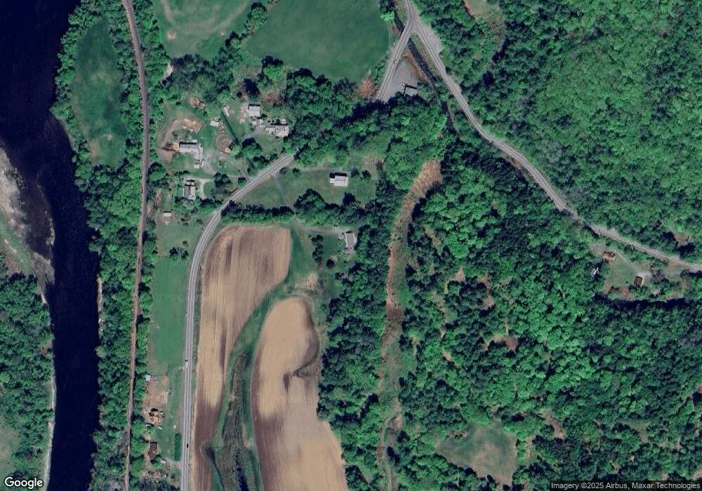
Map
Nearby Homes
- 29 National St
- 38 Jarvis St
- 15 National St
- 74 Union St
- 2 Pine St
- 53 Sunset Strip Rd
- 00 Tandy Brook Rd Unit 12
- 11 Cubb Ct
- 23 Cubb Ct
- 108 Cubb Ct
- 505 Back Mountain Rd Unit 14
- 517 Back Mountain Rd
- 763 Center Rd
- 330 Parsonage Rd
- 1487 Nh Route 12a
- 3440 Route 44
- 39 Parsonage Rd
- 273 Route 5 N
- 84 Old Barn Ln
- 1467 New Hampshire 12a
- 850 Nh Route 12a
- 813 Nh Route 12a
- 813 New Hampshire 12a
- 838 Nh Route 12a
- 834 Nh Route 12a
- 953 Town House Rd
- 900 Nh Route 12a
- 900 Nh Route 12a
- 900 Nh Route 12a
- 946 Town House Rd
- 904 Nh Route 12a
- 919 Nh Route 12a
- 919 Nh Route 12a
- 0 Hilltop Dr
- 766 Nh Route 12a
- 762 Rte 12-A
- 762 Nh Route 12a
- 42 Hilltop Dr
- 359 Us Route 5 S
- 3 Hilltop Dr
Your Personal Tour Guide
Ask me questions while you tour the home.