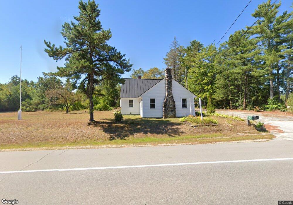
839 Route 16 Ossipee, NH 03864
Estimated Value: $436,000 - $501,000
2
Beds
3
Baths
2,811
Sq Ft
$164/Sq Ft
Est. Value
About This Home
This home is located at 839 Route 16, Ossipee, NH 03864 and is currently estimated at $460,268, approximately $163 per square foot. 839 Route 16 is a home located in Carroll County with nearby schools including Ossipee Central School, Kingswood Regional Middle School, and Kingswood Regional High School.
Ownership History
Date
Name
Owned For
Owner Type
Purchase Details
Closed on
Sep 23, 2021
Sold by
Dragonfly Catherine S and Sykes Emerson S
Bought by
Dio Homes Llc
Current Estimated Value
Purchase Details
Closed on
Jun 3, 2021
Sold by
Vezina Marie L
Bought by
Dragonfly Catherine S and Sykes Emerson S
Purchase Details
Closed on
Jun 15, 2016
Sold by
Vezina Roger L and Vezina Marie L
Bought by
Vezina Marie L
Create a Home Valuation Report for This Property
The Home Valuation Report is an in-depth analysis detailing your home's value as well as a comparison with similar homes in the area
Home Values in the Area
Average Home Value in this Area
Purchase History
| Date | Buyer | Sale Price | Title Company |
|---|---|---|---|
| Dio Homes Llc | $175,000 | None Available | |
| Dragonfly Catherine S | $30,000 | None Available | |
| Vezina Marie L | -- | -- |
Source: Public Records
Tax History Compared to Growth
Tax History
| Year | Tax Paid | Tax Assessment Tax Assessment Total Assessment is a certain percentage of the fair market value that is determined by local assessors to be the total taxable value of land and additions on the property. | Land | Improvement |
|---|---|---|---|---|
| 2024 | $5,058 | $436,000 | $151,500 | $284,500 |
| 2023 | $4,521 | $436,000 | $151,500 | $284,500 |
| 2022 | $3,428 | $186,500 | $36,800 | $149,700 |
| 2021 | $1,910 | $104,200 | $36,800 | $67,400 |
| 2020 | $1,777 | $104,200 | $36,800 | $67,400 |
| 2019 | $1,783 | $104,200 | $36,800 | $67,400 |
| 2018 | $4,253 | $182,300 | $38,300 | $144,000 |
| 2016 | $2,953 | $153,000 | $38,300 | $114,700 |
| 2015 | $2,804 | $153,000 | $38,300 | $114,700 |
| 2014 | $3,736 | $207,300 | $33,300 | $174,000 |
| 2013 | $3,671 | $211,100 | $33,300 | $177,800 |
Source: Public Records
Map
Nearby Homes
- 00B Route 16
- 954 Route 16
- 20 Hawthorne Rd
- 22 Hawthorne Rd
- 16 Isaac Buswell Rd
- 6 Abbott Ln
- 6 Wellington Ct
- 5 Wellington Ct
- 13 Wellington Ct
- 11 Wellington Ct
- 7 Hawthorne Rd
- 85 Old Granite Rd
- 1 Hawthorne Rd
- 4 Brookwood Dr
- 45 Old Granite Rd
- 16 Pollys Crossing Rd
- 1060 Route 16
- 110 Elm St
- 5 John Terrace
- 4 John Terrace
- 839 Route 16 Unit Tax Map 127-004
- 835 Route 16
- 845 New Hampshire 16
- 829 Route 16
- 804 Route 16
- 804 Route 16
- 829 New Hampshire 16
- 819 New Hampshire 16
- 810 Route 16
- 800 Route 16
- 830 Route 16
- 855 Route 16
- 838 Route 16
- 859 New Hampshire 16
- 859 Route 16
- Lot 11 Elm Street Extension
- 766 White Mountain Hwy
- 801 Route 16
- 766 Route 16
- 9 Margarets Way