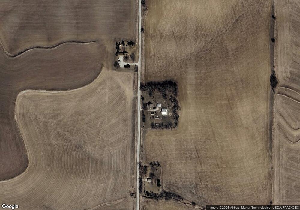
839 Umbrella Rd Harlan, IA 51537
Estimated Value: $268,000 - $394,000
4
Beds
2
Baths
1,996
Sq Ft
$156/Sq Ft
Est. Value
About This Home
This home is located at 839 Umbrella Rd, Harlan, IA 51537 and is currently estimated at $311,303, approximately $155 per square foot. 839 Umbrella Rd is a home located in Shelby County with nearby schools including Harlan Primary School, Harlan Intermediate School, and Harlan Community Middle School.
Ownership History
Date
Name
Owned For
Owner Type
Purchase Details
Closed on
Nov 21, 2006
Sold by
Drevo Kristine Kay and Gross Marcus
Bought by
Wullschleger Robert T and Wullschleger Janell L
Current Estimated Value
Home Financials for this Owner
Home Financials are based on the most recent Mortgage that was taken out on this home.
Original Mortgage
$73,000
Outstanding Balance
$43,664
Interest Rate
6.41%
Mortgage Type
New Conventional
Estimated Equity
$267,639
Create a Home Valuation Report for This Property
The Home Valuation Report is an in-depth analysis detailing your home's value as well as a comparison with similar homes in the area
Home Values in the Area
Average Home Value in this Area
Purchase History
| Date | Buyer | Sale Price | Title Company |
|---|---|---|---|
| Wullschleger Robert T | $91,500 | None Available |
Source: Public Records
Mortgage History
| Date | Status | Borrower | Loan Amount |
|---|---|---|---|
| Open | Wullschleger Robert T | $73,000 |
Source: Public Records
Tax History Compared to Growth
Tax History
| Year | Tax Paid | Tax Assessment Tax Assessment Total Assessment is a certain percentage of the fair market value that is determined by local assessors to be the total taxable value of land and additions on the property. | Land | Improvement |
|---|---|---|---|---|
| 2025 | $2,632 | $228,835 | $40,356 | $188,479 |
| 2024 | $2,632 | $203,005 | $40,356 | $162,649 |
| 2023 | $2,144 | $203,005 | $40,356 | $162,649 |
| 2022 | $2,144 | $151,309 | $40,356 | $110,953 |
| 2021 | $1,942 | $151,309 | $40,356 | $110,953 |
| 2020 | $1,802 | $134,450 | $40,356 | $94,094 |
| 2019 | $1,780 | $129,969 | $0 | $0 |
| 2018 | $1,738 | $129,969 | $0 | $0 |
| 2017 | $1,738 | $129,969 | $0 | $0 |
| 2016 | $1,664 | $121,225 | $0 | $0 |
| 2015 | $1,664 | $114,844 | $0 | $0 |
| 2014 | $1,548 | $114,844 | $0 | $0 |
Source: Public Records
Map
Nearby Homes
- 2566 Yellowwood Rd
- 205 W 3rd St
- 2705 Bluebird Ave
- 2130 Park St
- 4426 Main St
- 2118 Washington St
- 4310 Main St
- 2018 Washington St
- 2023 Broadway
- 2014 Washington St
- 4206 Madison St
- 2002 Washington St
- 1521 Road M56
- 105 Court St
- 1910 7th St
- 408 Court St
- 1704 7th St
- 3002 12th St Unit 86
- 1811 8th St
- 512 Cyclone Ave