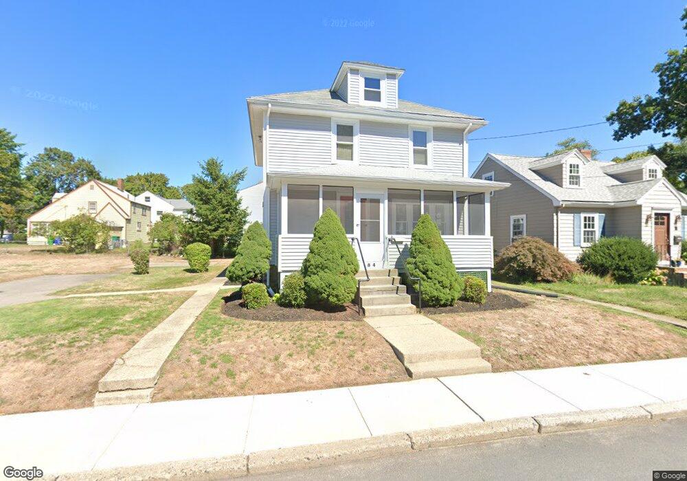
84 Adams Ave Unit 1 West Newton, MA 02465
West Newton NeighborhoodEstimated Value: $823,000 - $1,093,000
3
Beds
2
Baths
1,400
Sq Ft
$643/Sq Ft
Est. Value
About This Home
This home is located at 84 Adams Ave Unit 1, West Newton, MA 02465 and is currently estimated at $900,299, approximately $643 per square foot. 84 Adams Ave Unit 1 is a home located in Middlesex County with nearby schools including Franklin Elementary School, C.C. Burr, and F.A. Day Middle School.
Ownership History
Date
Name
Owned For
Owner Type
Purchase Details
Closed on
Sep 13, 2007
Sold by
Crowley Arnold and Corcoran Walter J
Bought by
Nicolazzo Gennaro and Nicolazzo Rosa
Current Estimated Value
Home Financials for this Owner
Home Financials are based on the most recent Mortgage that was taken out on this home.
Original Mortgage
$391,500
Outstanding Balance
$249,518
Interest Rate
6.7%
Mortgage Type
Purchase Money Mortgage
Estimated Equity
$650,781
Create a Home Valuation Report for This Property
The Home Valuation Report is an in-depth analysis detailing your home's value as well as a comparison with similar homes in the area
Home Values in the Area
Average Home Value in this Area
Purchase History
| Date | Buyer | Sale Price | Title Company |
|---|---|---|---|
| Nicolazzo Gennaro | $435,000 | -- |
Source: Public Records
Mortgage History
| Date | Status | Borrower | Loan Amount |
|---|---|---|---|
| Open | Nicolazzo Gennaro | $391,500 |
Source: Public Records
Tax History Compared to Growth
Tax History
| Year | Tax Paid | Tax Assessment Tax Assessment Total Assessment is a certain percentage of the fair market value that is determined by local assessors to be the total taxable value of land and additions on the property. | Land | Improvement |
|---|---|---|---|---|
| 2025 | $6,447 | $657,900 | $0 | $0 |
| 2024 | $6,234 | $0 | $0 | $0 |
| 2023 | $5,905 | $580,100 | $505,700 | $74,400 |
| 2022 | $5,650 | $537,100 | $468,200 | $68,900 |
| 2021 | $5,452 | $506,700 | $441,700 | $65,000 |
| 2020 | $5,290 | $506,700 | $441,700 | $65,000 |
| 2019 | $5,140 | $491,900 | $428,800 | $63,100 |
| 2018 | $4,305 | $450,600 | $390,000 | $60,600 |
| 2017 | $4,727 | $425,100 | $367,900 | $57,200 |
| 2016 | $4,521 | $397,300 | $343,800 | $53,500 |
| 2015 | $4,311 | $371,300 | $321,300 | $50,000 |
Source: Public Records
Map
Nearby Homes
- 265-267 River St Unit 267
- 265-267 River St Unit 265
- 334 River St
- 31-37 Washington Ave
- 24 Tolman St Unit A
- 56 Dearborn St
- 25 Tolman St Unit 2
- 101-103 Lexington St
- 33 Lill Ave
- 44 Westland Ave
- 73 Orange St Unit 2
- 5-7 Chester Ave
- 659 Moody St Unit 2
- 90 Auburndale Ave
- 287 Cherry St Unit 2
- 14 Cottage Place Unit 14
- 75 Cherry St
- 138 Myrtle St Unit 2
- 162 Myrtle St Unit 1
- 41 Kilburn Rd
- 84 Adams Ave
- 84 Adams Ave Unit 84
- 88 Adams Ave
- 129 Tolman St Unit 131
- 12 Milton St
- 83 Adams Ave
- 87 Adams Ave
- 73 Adams Ave Unit 75
- 73 Adams Ave Unit 1
- 73 Adams Ave Unit 73
- 75 Adams Ave Unit 73
- 138 Tolman St
- 132 Tolman St
- 46 Milton St
- 4 Milton St Unit n/a
- 4 Milton St Unit 1
- 89 Adams Ave
- 68 Adams Ave
- 126 Tolman St
- 11 Milton St