84 Ansels View Trail Silverthorne, CO 80498
Estimated Value: $2,074,000 - $2,362,000
3
Beds
4
Baths
1,553
Sq Ft
$1,404/Sq Ft
Est. Value
About This Home
This home is located at 84 Ansels View Trail, Silverthorne, CO 80498 and is currently estimated at $2,180,136, approximately $1,403 per square foot. 84 Ansels View Trail is a home located in Summit County with nearby schools including Silverthorne Elementary School, Summit Middle School, and Summit High School.
Ownership History
Date
Name
Owned For
Owner Type
Purchase Details
Closed on
Jan 23, 2023
Sold by
Marks Edward L
Bought by
Marks Greaner Trust
Current Estimated Value
Purchase Details
Closed on
Jun 1, 2006
Sold by
Deming Vernis D and Deming Mary Jo
Bought by
Marks Edward L and Greaver Jackie L
Home Financials for this Owner
Home Financials are based on the most recent Mortgage that was taken out on this home.
Original Mortgage
$720,000
Interest Rate
6.25%
Mortgage Type
Adjustable Rate Mortgage/ARM
Create a Home Valuation Report for This Property
The Home Valuation Report is an in-depth analysis detailing your home's value as well as a comparison with similar homes in the area
Home Values in the Area
Average Home Value in this Area
Purchase History
| Date | Buyer | Sale Price | Title Company |
|---|---|---|---|
| Marks Greaner Trust | -- | None Listed On Document | |
| Marks Edward L | $900,000 | Stewart Title Of Colorado |
Source: Public Records
Mortgage History
| Date | Status | Borrower | Loan Amount |
|---|---|---|---|
| Previous Owner | Marks Edward L | $720,000 |
Source: Public Records
Tax History
| Year | Tax Paid | Tax Assessment Tax Assessment Total Assessment is a certain percentage of the fair market value that is determined by local assessors to be the total taxable value of land and additions on the property. | Land | Improvement |
|---|---|---|---|---|
| 2024 | $12,634 | $138,053 | -- | -- |
| 2023 | $12,634 | $134,369 | $0 | $0 |
| 2022 | $8,777 | $90,357 | $0 | $0 |
| 2021 | $8,926 | $92,957 | $0 | $0 |
| 2020 | $6,818 | $73,755 | $0 | $0 |
| 2019 | $6,765 | $73,755 | $0 | $0 |
| 2018 | $6,449 | $69,069 | $0 | $0 |
| 2017 | $6,135 | $69,069 | $0 | $0 |
| 2016 | $6,066 | $67,725 | $0 | $0 |
| 2015 | $5,961 | $67,725 | $0 | $0 |
| 2014 | $5,914 | $66,729 | $0 | $0 |
| 2013 | -- | $66,729 | $0 | $0 |
Source: Public Records
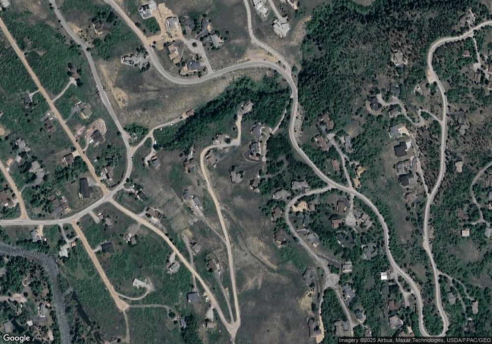
Map
Nearby Homes
- 28 Damselfly
- 468 Fly Line Dr
- 2206 Hamilton Creek Rd
- 530 Lakeview Cir
- 65 Aerie Dr
- 731 Lakeview Cir
- 279 Kestrel Ln Unit 279
- 312 Kestrel Ln Unit 312
- 84 Mayfly Dr
- 70 Mayfly Dr
- 70 Mayfly Dr Unit 3
- 35 Mayfly Dr
- 1813 Stellar Dr
- 402 Kestrel Ln
- 104 Talon Cir
- 50 Fly Caster Ln
- 113 Badger Ct
- 328 Raven Golf Ln
- 1730 Red Hawk Rd
- 304 Raven Golf Ln
- 68 Ansels View Trail
- 90 Ansels View Trail
- 62 Crescent Moon Trail
- 58 Crescent Moon Trail
- 408 Hillside Dr
- 475 Hillside Dr
- 448 Hillside Dr
- 38 Ansels View Trail
- 478 Hillside Dr
- 53 Crescent Moon Trail
- 33 Crescent Moon Trail
- 556 Buffalo Ct
- 118 Hillside Dr
- 90 Crescent Moon Trail
- 43 Buffalo Ct
- 71 Indian Brush Trail
- 536 Hamilton Creek Rd Unit C12
- 536 Hamilton Creek Rd
- 258 Hillside Dr
- 78 Hillside Dr
Your Personal Tour Guide
Ask me questions while you tour the home.