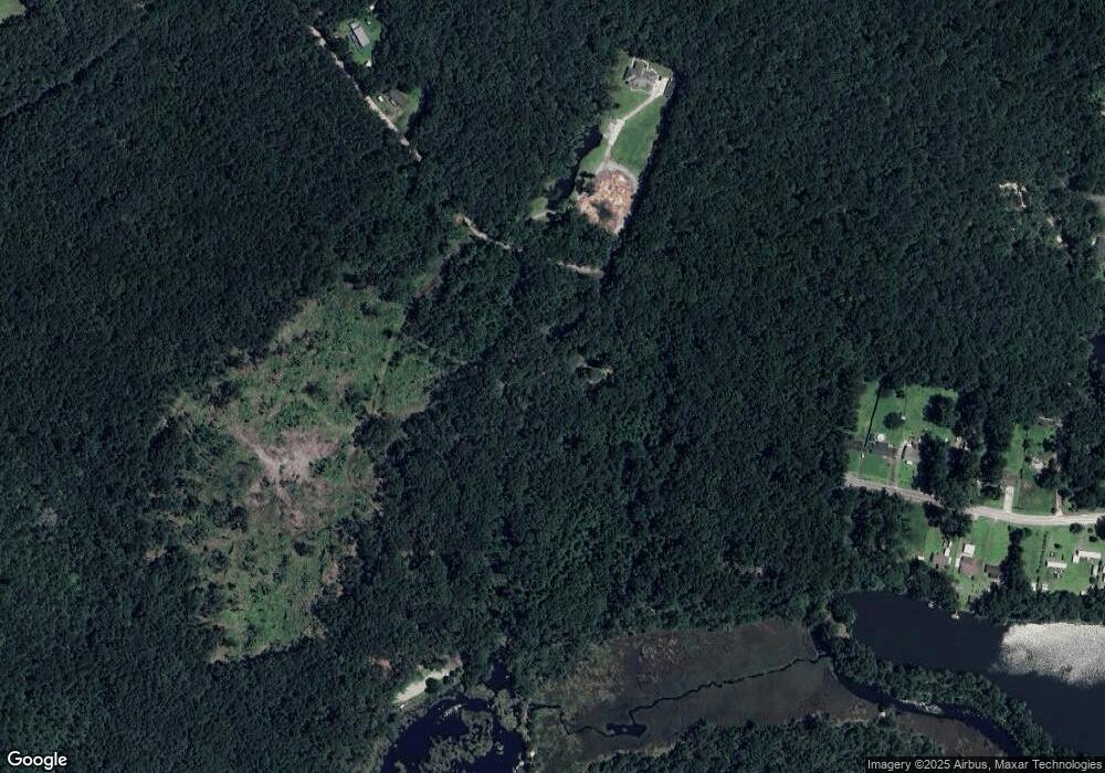
84 Ausieanna Dr Midway, GA 31320
Estimated Value: $98,000 - $279,597
3
Beds
2
Baths
1,664
Sq Ft
$131/Sq Ft
Est. Value
About This Home
This home is located at 84 Ausieanna Dr, Midway, GA 31320 and is currently estimated at $217,199, approximately $130 per square foot. 84 Ausieanna Dr is a home located in Liberty County with nearby schools including Liberty Elementary School, Midway Middle School, and Liberty County High School.
Ownership History
Date
Name
Owned For
Owner Type
Purchase Details
Closed on
Nov 11, 2022
Sold by
Jeffcoat Stacey
Bought by
Jeffcoat Stacey and Jeffcoat Linda G
Current Estimated Value
Purchase Details
Closed on
Mar 18, 2005
Sold by
Mortgage Electronic Registration
Bought by
Household Realty Corporation
Purchase Details
Closed on
Oct 7, 1999
Sold by
Jeffcoat Stacy and Jeffcoat Linda
Bought by
Jeffcoat Stacy and Jeffcoat Linda
Purchase Details
Closed on
Jan 28, 1997
Bought by
Keene Terri and Keene Robert
Purchase Details
Closed on
Dec 21, 1987
Bought by
Jeffcoat Stacy and Jeffcoat Linda
Create a Home Valuation Report for This Property
The Home Valuation Report is an in-depth analysis detailing your home's value as well as a comparison with similar homes in the area
Home Values in the Area
Average Home Value in this Area
Purchase History
| Date | Buyer | Sale Price | Title Company |
|---|---|---|---|
| Jeffcoat Stacey | -- | -- | |
| Household Realty Corporation | -- | -- | |
| Jeffcoat Stacey | $108,000 | -- | |
| Jeffcoat Stacy | -- | -- | |
| Keene Terri | -- | -- | |
| Jeffcoat Stacy | $23,000 | -- |
Source: Public Records
Tax History Compared to Growth
Tax History
| Year | Tax Paid | Tax Assessment Tax Assessment Total Assessment is a certain percentage of the fair market value that is determined by local assessors to be the total taxable value of land and additions on the property. | Land | Improvement |
|---|---|---|---|---|
| 2024 | $3,491 | $78,332 | $12,946 | $65,386 |
| 2023 | $2,872 | $69,878 | $12,946 | $56,932 |
| 2022 | $2,449 | $59,095 | $11,769 | $47,326 |
| 2021 | $2,286 | $55,081 | $11,769 | $43,312 |
| 2020 | $2,307 | $55,654 | $11,769 | $43,885 |
| 2019 | $2,272 | $56,227 | $11,769 | $44,458 |
| 2018 | $2,268 | $56,799 | $11,769 | $45,030 |
| 2017 | $1,889 | $57,371 | $11,769 | $45,602 |
| 2016 | $2,161 | $57,943 | $11,769 | $46,174 |
Source: Public Records
Map
Nearby Homes
- 4 2nd Ave
- 0 Oak Ct
- 0 Oak Ct Unit 160688
- 18 Wild Heron Dr
- 38 Eagle Ln
- 1869 Freedman Grove Rd
- 42 Autumn Rift Rd
- 42 Greenwood
- 11 Kinlock Ct
- 44 Caraway Ct
- 23 Sycamore Way
- 1742 Freedman Grove Rd
- 1411 Seabrook Island Dr
- 99 Caraway Ct
- 132 Caraway Ct
- 0 Seabrook Ln Unit SA333136
- 776 Phillips Rd
- 142 Oak Harvest Ridge
- 46 Outpost Trail
- 70 1st St
- 84 Ausieanna Dr
- 0 Leroy Baker Rd Unit 130743
- 0 Leroy Baker Rd
- 525 Wild Heron Dr
- 448 Leroy Baker Rd
- 214 Ausieanna Dr
- 520 Wild Heron Dr
- 486 Wild Heron Dr
- 258 Leroy Baker Rd
- 455 Wild Heron Dr
- 466 Wild Heron Dr Unit n/a
- 466 Wild Heron Dr
- 450 Wild Heron Dr
- 439 Wild Heron Dr
- 244 Leroy Baker Rd
- 254 Leroy Baker Rd
- 359 2nd Ave
- 379 Wild Heron Dr
- 420 Wild Heron Dr
- 347 2nd Ave
