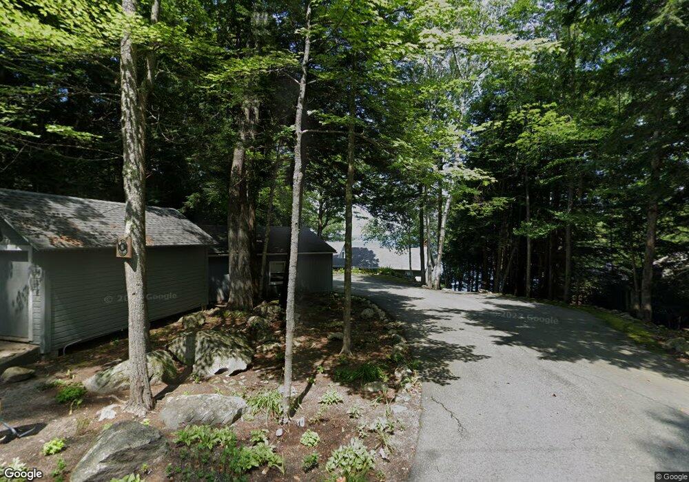
84 Birch Point Rd Sunapee, NH 03782
Estimated Value: $3,774,000 - $5,037,301
4
Beds
5
Baths
4,316
Sq Ft
$1,051/Sq Ft
Est. Value
About This Home
This home is located at 84 Birch Point Rd, Sunapee, NH 03782 and is currently estimated at $4,537,825, approximately $1,051 per square foot. 84 Birch Point Rd is a home with nearby schools including Sunapee Central School, Sunapee Middle High School, and Sunapee Senior High School.
Ownership History
Date
Name
Owned For
Owner Type
Purchase Details
Closed on
Jul 11, 2024
Sold by
Foley Elizabeth and Foley Stephen
Bought by
84 Birch Pt Rd Rt and Foley
Current Estimated Value
Purchase Details
Closed on
Sep 30, 2014
Sold by
Robert B B and Robert S B
Bought by
Foley Elizabeth and Foley Stephen
Create a Home Valuation Report for This Property
The Home Valuation Report is an in-depth analysis detailing your home's value as well as a comparison with similar homes in the area
Home Values in the Area
Average Home Value in this Area
Purchase History
| Date | Buyer | Sale Price | Title Company |
|---|---|---|---|
| 84 Birch Pt Rd Rt | -- | None Available | |
| Foley Elizabeth | $1,675,000 | -- | |
| Foley Elizabeth | $1,675,000 | -- |
Source: Public Records
Mortgage History
| Date | Status | Borrower | Loan Amount |
|---|---|---|---|
| Closed | Foley Elizabeth | $0 |
Source: Public Records
Tax History
| Year | Tax Paid | Tax Assessment Tax Assessment Total Assessment is a certain percentage of the fair market value that is determined by local assessors to be the total taxable value of land and additions on the property. | Land | Improvement |
|---|---|---|---|---|
| 2024 | $22,252 | $2,223,000 | $1,494,400 | $728,600 |
| 2023 | $30,507 | $3,151,500 | $2,109,900 | $1,041,600 |
| 2022 | $31,100 | $2,223,000 | $1,494,400 | $728,600 |
| 2021 | $30,299 | $2,223,000 | $1,494,400 | $728,600 |
| 2020 | $30,766 | $2,223,000 | $1,494,400 | $728,600 |
| 2019 | $27,736 | $1,741,100 | $1,254,000 | $487,100 |
| 2018 | $25,010 | $1,606,300 | $1,254,000 | $352,300 |
| 2017 | $24,689 | $1,606,300 | $1,254,000 | $352,300 |
| 2016 | $24,143 | $1,606,300 | $1,254,000 | $352,300 |
| 2015 | $22,360 | $1,489,700 | $1,116,000 | $373,700 |
| 2014 | $22,614 | $1,489,700 | $1,116,000 | $373,700 |
| 2013 | $21,727 | $1,486,100 | $1,116,000 | $370,100 |
Source: Public Records
Map
Nearby Homes
- 25 Birch Point Ln
- 0 Harbor Hill Rd Unit 20
- 55 High St
- 18 Central St
- 30 Greystone Ln
- 14 Sugarhouse Ln
- 6 Samoset Rd
- 76 Tonset Slope
- 33 Chandler Brook Rd
- Lot 39 Sunny Ln
- 617 & 619 Route 103a Map 91 Lot 37 38
- 1387 Route 103
- 16 Sunnyside Terrace
- 1B N Peak Village
- 552 Route 103
- 1462 King Hill Rd
- 81 Lakewood Manor Rd
- 356 Route 103
- 0 Lakewood Manor Rd Unit 467
- 30 Gerald Dr
- 90 Birch Point Rd
- 82 Birch Point Rd
- 11 Birch Point Ln
- 15 Birch Point Ln
- 23 Birch Point Rd
- 17 Birch Point Ln
- 00 Birch Point Rd
- 00 Birch Point Rd
- 21 Birch Point Ln
- 16 Birch Point Ln
- 24 Birch Point Ln
- 28 Birch Point Ln
- 26 Birch Point Rd
- 27 Birch Point Ln
- 13 Lovejoy Ln
- 343 Lake Ave
- 30 Birch Point Ln
- 38 Birch Point Rd
- 8 Lovejoy Ln
- 32 Birch Point Ln