84 Broad Bay Rd Center Ossipee, NH 03814
Estimated Value: $734,973 - $1,056,000
3
Beds
3
Baths
2,748
Sq Ft
$327/Sq Ft
Est. Value
About This Home
This home is located at 84 Broad Bay Rd, Center Ossipee, NH 03814 and is currently estimated at $898,493, approximately $326 per square foot. 84 Broad Bay Rd is a home with nearby schools including Ossipee Central School, Kingswood Regional Middle School, and Kingswood Regional High School.
Ownership History
Date
Name
Owned For
Owner Type
Purchase Details
Closed on
Jun 17, 2020
Sold by
Howell John
Bought by
Bonavita Joseph A and Bonavita Joy M
Current Estimated Value
Home Financials for this Owner
Home Financials are based on the most recent Mortgage that was taken out on this home.
Original Mortgage
$351,000
Outstanding Balance
$311,135
Interest Rate
3.2%
Mortgage Type
New Conventional
Estimated Equity
$587,358
Purchase Details
Closed on
Jun 1, 2012
Sold by
Barbash Michael and Barbash Judy-Jo
Bought by
Howell John
Create a Home Valuation Report for This Property
The Home Valuation Report is an in-depth analysis detailing your home's value as well as a comparison with similar homes in the area
Home Values in the Area
Average Home Value in this Area
Purchase History
| Date | Buyer | Sale Price | Title Company |
|---|---|---|---|
| Bonavita Joseph A | $485,000 | None Available | |
| Howell John | $69,900 | -- |
Source: Public Records
Mortgage History
| Date | Status | Borrower | Loan Amount |
|---|---|---|---|
| Open | Bonavita Joseph A | $351,000 |
Source: Public Records
Tax History Compared to Growth
Tax History
| Year | Tax Paid | Tax Assessment Tax Assessment Total Assessment is a certain percentage of the fair market value that is determined by local assessors to be the total taxable value of land and additions on the property. | Land | Improvement |
|---|---|---|---|---|
| 2024 | $7,113 | $613,200 | $218,800 | $394,400 |
| 2023 | $6,670 | $643,200 | $248,800 | $394,400 |
| 2022 | $7,084 | $385,400 | $109,400 | $276,000 |
| 2021 | $7,064 | $385,400 | $109,400 | $276,000 |
| 2020 | $6,571 | $385,400 | $109,400 | $276,000 |
| 2019 | $7,183 | $419,800 | $113,700 | $306,100 |
| 2018 | $7,164 | $344,400 | $86,900 | $257,500 |
| 2016 | $3,347 | $173,400 | $56,000 | $117,400 |
| 2015 | $1,476 | $80,500 | $56,000 | $24,500 |
| 2014 | $1,348 | $74,800 | $74,800 | $0 |
| 2013 | $1,301 | $74,800 | $74,800 | $0 |
Source: Public Records
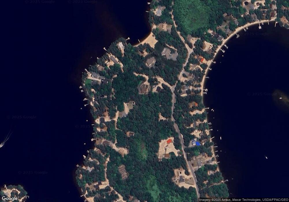
Map
Nearby Homes
- 126 Leavitt Rd
- 4 Lower Broad Bay Rd
- 10 Spur Rd
- 16 Channel Rd
- 6 Laurel Rd
- 33 Blueberry Rd
- 112 N Broadbay Rd
- 555 Huckins Rd
- Lot 11 Squire Ln
- Lot 10 Squire Ln
- Lot 9 Squire Ln
- 5-11 Friedman Ln
- Lot 8 Friedman Ln
- 107 Pequawket Trail
- 5 Friedman Ln
- 4 Tomahawk Ln Unit 447
- 50 Milford Ave
- 118 Washington Rd Unit 55
- 128 Washington Rd Unit 65
- 128 Washington Rd Unit 66
- 95 Leavitt Rd
- 64 Broad Bay Rd
- 90 Broad Bay Rd
- 85 Broad Bay Rd
- 65 Broad Bay Rd
- 67 Broad Bay Rd
- 69 Broad Bay Rd
- 100 Leavitt Rd
- 102 Leavitt Rd
- 104 Leavitt Rd
- 83 Broad Bay Rd
- 71 Broad Bay Rd
- 81 Broad Bay Rd
- 63 Broad Bay Rd
- 105 Leavitt Rd
- 61 Broad Bay Rd
- 98 Leavitt Rd
- 79 Broad Bay Rd
- 73 Broad Bay Rd
- 77 Broad Bay Rd