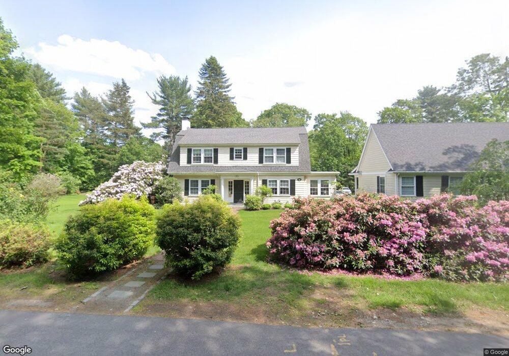
84 Glenridge Rd Dedham, MA 02026
Dexter NeighborhoodEstimated Value: $1,627,000 - $1,896,000
5
Beds
3
Baths
3,497
Sq Ft
$500/Sq Ft
Est. Value
About This Home
This home is located at 84 Glenridge Rd, Dedham, MA 02026 and is currently estimated at $1,749,240, approximately $500 per square foot. 84 Glenridge Rd is a home located in Norfolk County with nearby schools including Riverdale Elementary School, Dedham Middle School, and Dedham High School.
Ownership History
Date
Name
Owned For
Owner Type
Purchase Details
Closed on
Feb 6, 1991
Sold by
Hill Francis S
Bought by
Griesmer Samuel I and Grissmer Leslie M
Current Estimated Value
Home Financials for this Owner
Home Financials are based on the most recent Mortgage that was taken out on this home.
Original Mortgage
$100,000
Interest Rate
9.57%
Mortgage Type
Purchase Money Mortgage
Create a Home Valuation Report for This Property
The Home Valuation Report is an in-depth analysis detailing your home's value as well as a comparison with similar homes in the area
Home Values in the Area
Average Home Value in this Area
Purchase History
| Date | Buyer | Sale Price | Title Company |
|---|---|---|---|
| Griesmer Samuel I | $400,000 | -- |
Source: Public Records
Mortgage History
| Date | Status | Borrower | Loan Amount |
|---|---|---|---|
| Open | Griesmer Samuel I | $190,000 | |
| Closed | Griesmer Samuel I | $150,000 | |
| Closed | Griesmer Samuel I | $100,000 |
Source: Public Records
Tax History
| Year | Tax Paid | Tax Assessment Tax Assessment Total Assessment is a certain percentage of the fair market value that is determined by local assessors to be the total taxable value of land and additions on the property. | Land | Improvement |
|---|---|---|---|---|
| 2025 | $19,478 | $1,543,400 | $579,900 | $963,500 |
| 2024 | $17,594 | $1,407,500 | $505,100 | $902,400 |
| 2023 | $15,606 | $1,215,400 | $438,700 | $776,700 |
| 2022 | $14,889 | $1,115,300 | $438,700 | $676,600 |
| 2021 | $13,654 | $998,800 | $398,700 | $600,100 |
| 2020 | $13,741 | $1,001,500 | $404,300 | $597,200 |
| 2019 | $13,902 | $982,500 | $425,100 | $557,400 |
| 2018 | $14,866 | $1,021,700 | $464,300 | $557,400 |
| 2017 | $13,229 | $896,300 | $370,700 | $525,600 |
| 2016 | $12,621 | $814,800 | $325,000 | $489,800 |
| 2015 | $14,005 | $882,500 | $426,500 | $456,000 |
| 2014 | $13,784 | $857,200 | $426,500 | $430,700 |
Source: Public Records
Map
Nearby Homes
- 47 Bemis Rd
- 20 Shuttleworth Place
- 20-35 Shuttleworth Place
- 35 Shuttleworth Place
- 37 Horrigan Dr Unit 1
- 57 Horrigan Dr Unit 3
- 66 Horrigan Dr Unit 25
- 80 Horrigan Dr Unit 24
- 1133 High
- 86 Horrigan Dr Unit 23
- 87 Horrigan Dr Unit 8
- 570 Bridge St
- 47 Village Ave Unit 203
- 262 Meadowbrook Rd
- 165 Highland St Unit 165
- 44 Court St
- 223 Robert Rd
- 46 Church St
- 27 Pine St
- 441 Washington St Unit 301
Your Personal Tour Guide
Ask me questions while you tour the home.