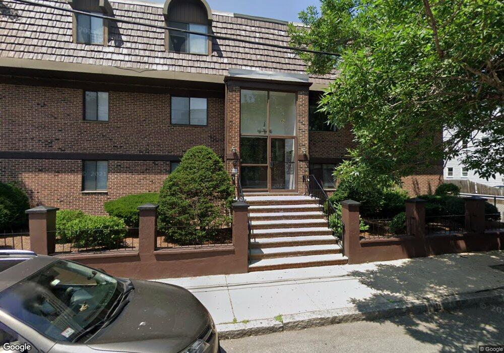
84 Grant St Unit 21 Somerville, MA 02145
Ten Hills NeighborhoodEstimated Value: $441,000 - $488,000
1
Bed
1
Bath
655
Sq Ft
$706/Sq Ft
Est. Value
About This Home
This home is located at 84 Grant St Unit 21, Somerville, MA 02145 and is currently estimated at $462,667, approximately $706 per square foot. 84 Grant St Unit 21 is a home located in Middlesex County with nearby schools including Somerville High School, Prospect Hill Academy Upper Elementary Campus, and Bright Future Educare Center.
Ownership History
Date
Name
Owned For
Owner Type
Purchase Details
Closed on
Jun 18, 2014
Sold by
New Grant Llc
Bought by
Northeast Realty Co Ll
Current Estimated Value
Home Financials for this Owner
Home Financials are based on the most recent Mortgage that was taken out on this home.
Original Mortgage
$1,200,000
Outstanding Balance
$649,471
Interest Rate
4.21%
Mortgage Type
Purchase Money Mortgage
Estimated Equity
-$186,804
Create a Home Valuation Report for This Property
The Home Valuation Report is an in-depth analysis detailing your home's value as well as a comparison with similar homes in the area
Home Values in the Area
Average Home Value in this Area
Purchase History
| Date | Buyer | Sale Price | Title Company |
|---|---|---|---|
| Northeast Realty Co Ll | $1,575,000 | -- |
Source: Public Records
Mortgage History
| Date | Status | Borrower | Loan Amount |
|---|---|---|---|
| Open | Northeast Realty Co Ll | $1,200,000 |
Source: Public Records
Tax History
| Year | Tax Paid | Tax Assessment Tax Assessment Total Assessment is a certain percentage of the fair market value that is determined by local assessors to be the total taxable value of land and additions on the property. | Land | Improvement |
|---|---|---|---|---|
| 2025 | $4,000 | $366,600 | $0 | $366,600 |
| 2024 | $3,857 | $366,600 | $0 | $366,600 |
| 2023 | $3,616 | $349,700 | $0 | $349,700 |
| 2022 | $3,399 | $333,900 | $0 | $333,900 |
| 2021 | $3,295 | $323,400 | $0 | $323,400 |
| 2020 | $3,233 | $320,400 | $0 | $320,400 |
| 2019 | $3,092 | $287,400 | $0 | $287,400 |
| 2018 | $2,977 | $263,200 | $0 | $263,200 |
| 2017 | $2,908 | $249,200 | $0 | $249,200 |
| 2016 | $3,074 | $245,300 | $0 | $245,300 |
| 2015 | $2,759 | $218,800 | $0 | $218,800 |
Source: Public Records
Map
Nearby Homes
- 84 Grant St Unit 12
- 66 Grant St Unit 1
- 41 Derby St Unit 2
- 41 Derby St Unit 1
- 30 Wheatland St
- 60 Derby St Unit 5
- 60 Derby St Unit 1
- 60 Derby St Unit 2
- 41 Bailey Rd
- 34 Governor Winthrop Rd Unit 1
- 17 Kensington Ave
- 11 Macarthur St Unit B
- 11 Macarthur St Unit A
- 19 Fenwick St Unit 4
- 7 Mortimer Place Unit 2
- 115 Thurston St Unit I
- 89 Heath St
- 31 Wisconsin Ave Unit 1
- 14 Bonair St Unit 14
- 375 Canal St Unit 1103
- 84 Grant St Unit 9
- 84 Grant St Unit 8
- 84 Grant St Unit 7
- 84 Grant St Unit 6
- 84 Grant St Unit 5
- 84 Grant St Unit 4
- 84 Grant St Unit 3
- 84 Grant St Unit 24
- 84 Grant St Unit 23
- 84 Grant St Unit 22
- 84 Grant St Unit 20
- 84 Grant St Unit 2
- 84 Grant St Unit 19
- 84 Grant St Unit 18
- 84 Grant St Unit 17
- 84 Grant St Unit 16
- 84 Grant St Unit 15
- 84 Grant St Unit 14
- 84 Grant St Unit 13
- 84 Grant St Unit 11
Your Personal Tour Guide
Ask me questions while you tour the home.