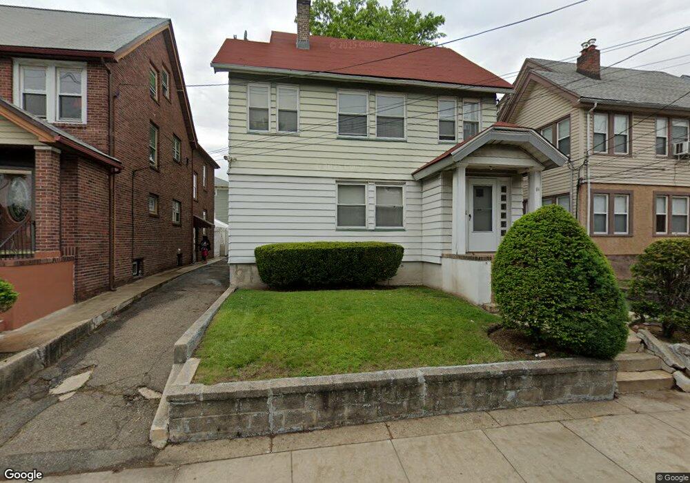
84 Grove St Unit 1 Bloomfield, NJ 07003
Estimated Value: $541,256 - $765,000
2
Beds
1
Bath
2,648
Sq Ft
$263/Sq Ft
Est. Value
About This Home
This home is located at 84 Grove St Unit 1, Bloomfield, NJ 07003 and is currently estimated at $696,814, approximately $263 per square foot. 84 Grove St Unit 1 is a home located in Essex County with nearby schools including Carteret School, Bloomfield Middle School, and Bloomfield High School.
Ownership History
Date
Name
Owned For
Owner Type
Purchase Details
Closed on
Sep 29, 2014
Sold by
Sidoti Harriet
Bought by
Crt Sidoti Realty Llc
Current Estimated Value
Purchase Details
Closed on
Mar 17, 2014
Sold by
Sidoti Harriet
Bought by
The Harriet Sidoti 1993 Family Trust and Sidoti Harriet
Purchase Details
Closed on
Oct 29, 2013
Sold by
Sidoti Harriet
Bought by
Sidoti Harriet
Purchase Details
Closed on
May 14, 1993
Sold by
Sidti Nicholas
Bought by
Sidoti,Nicholas Trustee
Purchase Details
Closed on
Jan 12, 1993
Sold by
Griffing William E and Griffing Janet
Bought by
Mollica Cynthia and Russell Et Als
Create a Home Valuation Report for This Property
The Home Valuation Report is an in-depth analysis detailing your home's value as well as a comparison with similar homes in the area
Home Values in the Area
Average Home Value in this Area
Purchase History
| Date | Buyer | Sale Price | Title Company |
|---|---|---|---|
| Crt Sidoti Realty Llc | $160,000 | -- | |
| Crt Sidoti Realty Llc | $160,000 | -- | |
| The Harriet Sidoti 1993 Family Trust | -- | None Available | |
| Sidoti Harriet | $10 | -- | |
| Sidoti Harriet | -- | None Listed On Document | |
| Sidoti Harriet | -- | None Listed On Document | |
| Sidoti,Nicholas Trustee | -- | -- | |
| Mollica Cynthia | -- | -- |
Source: Public Records
Mortgage History
| Date | Status | Borrower | Loan Amount |
|---|---|---|---|
| Closed | The Harriet Sidoti 1993 Family Trust | -- |
Source: Public Records
Tax History Compared to Growth
Tax History
| Year | Tax Paid | Tax Assessment Tax Assessment Total Assessment is a certain percentage of the fair market value that is determined by local assessors to be the total taxable value of land and additions on the property. | Land | Improvement |
|---|---|---|---|---|
| 2025 | $11,327 | $346,600 | $81,500 | $265,100 |
| 2024 | $11,327 | $346,600 | $81,500 | $265,100 |
| 2022 | $11,098 | $346,600 | $81,500 | $265,100 |
| 2021 | $10,894 | $346,600 | $81,500 | $265,100 |
| 2020 | $10,727 | $346,600 | $81,500 | $265,100 |
| 2019 | $10,283 | $258,300 | $80,000 | $178,300 |
| 2018 | $10,239 | $258,300 | $80,000 | $178,300 |
| 2017 | $10,084 | $258,300 | $80,000 | $178,300 |
| 2016 | $9,970 | $258,300 | $80,000 | $178,300 |
| 2015 | $9,880 | $258,300 | $80,000 | $178,300 |
| 2014 | $9,699 | $258,300 | $80,000 | $178,300 |
Source: Public Records
Map
Nearby Homes
- 413 Beardsley Ave Unit 3
- 413 Beardsley Ave
- 107 La France Ave
- 265 N 17th St
- 267 N 17th St
- 228 N 17th St
- 220 N 17th St
- 219 N 16th St
- 149 Leslie St
- 42 La France Ave
- 18 Whitman Ave
- 205 N 15th St
- 7 Whitman Ave
- 200 N 15th St
- 141 N 16th St
- 23 Belmont Ave
- 28 Lafayette Ave
- 20 Heckel St Unit 3
- 20 Heckel St
- 12 Madison Ave
- 84 Grove St
- 88 Grove St
- 80 Grove St
- 92 Grove St
- 114 Chester Ave
- 76 Grove St
- 116 Chester Ave
- 53-55 Floyd Ave
- 53 Floyd Ave Unit 55
- 118 Chester Ave
- 118 Chester Ave Unit 2
- 100 Grove St
- 87 Grove St
- 57 Floyd Ave
- 75 Grove St
- 120 Chester Ave Unit 2
- 120 Chester Ave
- 120 Chester Ave Unit 1
- 93 Grove St
- 70 Grove St