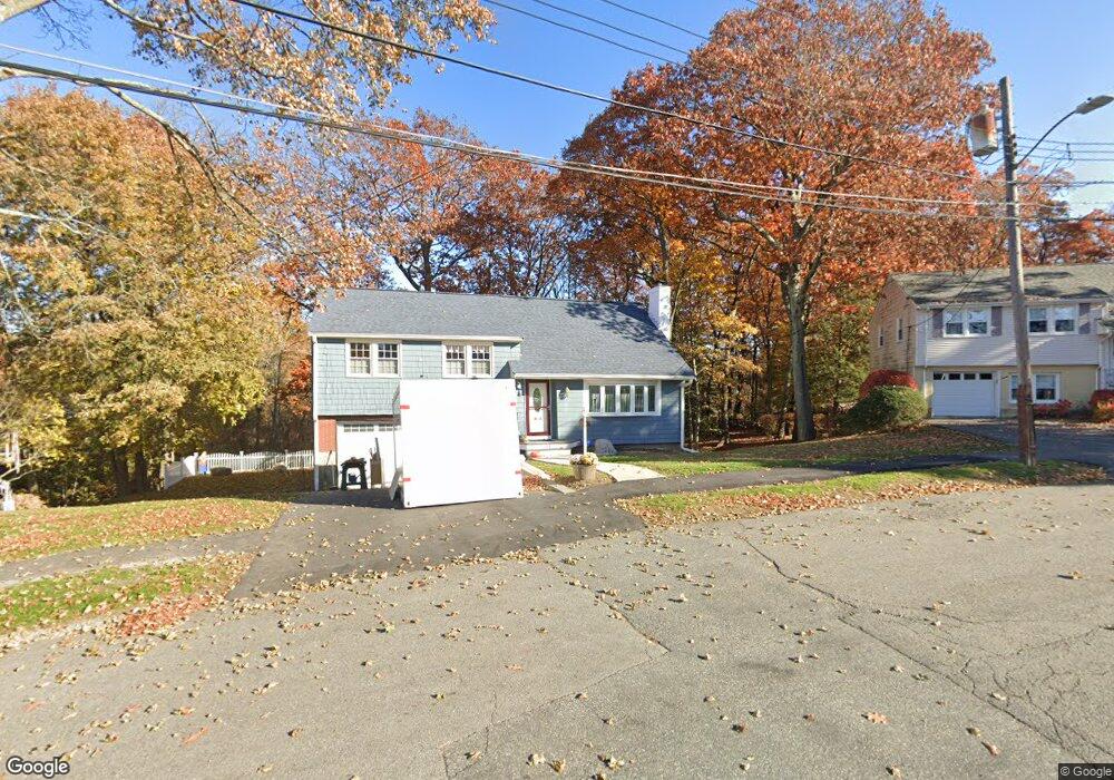
84 Mallard Way Waltham, MA 02452
North Waltham NeighborhoodEstimated Value: $860,000 - $1,043,000
3
Beds
2
Baths
1,956
Sq Ft
$493/Sq Ft
Est. Value
About This Home
This home is located at 84 Mallard Way, Waltham, MA 02452 and is currently estimated at $964,427, approximately $493 per square foot. 84 Mallard Way is a home located in Middlesex County with nearby schools including Northeast Elementary School, John F Kennedy Middle School, and Waltham Sr High School.
Ownership History
Date
Name
Owned For
Owner Type
Purchase Details
Closed on
Jul 24, 1987
Sold by
Flanders Albert G
Bought by
Robertson Kevin M
Current Estimated Value
Home Financials for this Owner
Home Financials are based on the most recent Mortgage that was taken out on this home.
Original Mortgage
$80,000
Interest Rate
10.67%
Mortgage Type
Purchase Money Mortgage
Create a Home Valuation Report for This Property
The Home Valuation Report is an in-depth analysis detailing your home's value as well as a comparison with similar homes in the area
Home Values in the Area
Average Home Value in this Area
Purchase History
| Date | Buyer | Sale Price | Title Company |
|---|---|---|---|
| Robertson Kevin M | $258,000 | -- |
Source: Public Records
Mortgage History
| Date | Status | Borrower | Loan Amount |
|---|---|---|---|
| Closed | Robertson Kevin M | $80,000 |
Source: Public Records
Tax History Compared to Growth
Tax History
| Year | Tax Paid | Tax Assessment Tax Assessment Total Assessment is a certain percentage of the fair market value that is determined by local assessors to be the total taxable value of land and additions on the property. | Land | Improvement |
|---|---|---|---|---|
| 2025 | $8,534 | $869,000 | $578,300 | $290,700 |
| 2024 | $8,083 | $838,500 | $551,300 | $287,200 |
| 2023 | $7,996 | $774,800 | $501,300 | $273,500 |
| 2022 | $8,298 | $744,900 | $491,300 | $253,600 |
| 2021 | $8,058 | $711,800 | $471,300 | $240,500 |
| 2020 | $7,815 | $654,000 | $441,300 | $212,700 |
| 2019 | $8,042 | $635,200 | $422,500 | $212,700 |
| 2018 | $7,347 | $582,600 | $391,300 | $191,300 |
| 2017 | $6,878 | $547,600 | $356,300 | $191,300 |
| 2016 | $6,519 | $532,600 | $341,300 | $191,300 |
| 2015 | $6,229 | $474,400 | $306,300 | $168,100 |
Source: Public Records
Map
Nearby Homes
- 9 Stanley Rd
- 51 S Cottage Rd Unit 112
- 38 Van Vechten St
- 45 Chase Rd
- 26 Brookfield Rd
- 100 Shirley Rd
- 50 Moraine St
- 51 Harrington St Unit 51
- 51 Harrington St Unit 53
- 1 Bridgham Ave
- 236 Sycamore St
- 253 Sycamore St Unit 253
- 135 Marsh St
- 160 Waverley St
- 55-57 Hawthorne St
- 36 Hollace St
- 23 Centre Ave
- 72-74 Flett Rd
- 53 Crestview Rd
- 33 Wellington Ln
- 90 Mallard Way
- 78 Mallard Way
- 85 Mallard Way
- 72 Mallard Way
- 96 Mallard Way
- 69 Mallard Way
- 44 Beaver Brook Rd
- 67 Brookside Ave
- 55 Brookside Ave
- 61 Brookside Ave
- 62 Mallard Way
- 102 Mallard Way
- 40 Beaver Brook Rd
- 61 Mallard Way
- 49 Brookside Ave
- 30 Beaver Brook Rd
- 73 Brookside Ave
- 56 Mallard Way
- 110 Mallard Way
- 55 Mallard Way