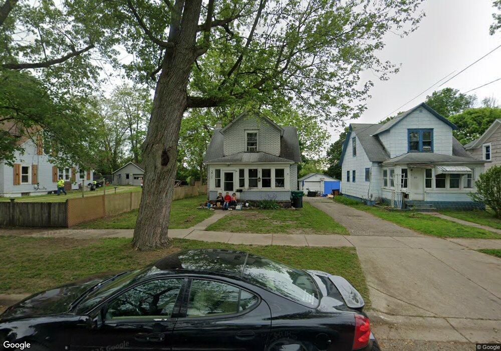
84 Oak St Battle Creek, MI 49014
Post Franklin NeighborhoodEstimated Value: $66,000 - $102,000
3
Beds
1
Bath
1,060
Sq Ft
$79/Sq Ft
Est. Value
About This Home
This home is located at 84 Oak St, Battle Creek, MI 49014 and is currently estimated at $83,871, approximately $79 per square foot. 84 Oak St is a home located in Calhoun County with nearby schools including Post-Franklin Elementary School, Springfield Middle School, and Battle Creek Central High School.
Ownership History
Date
Name
Owned For
Owner Type
Purchase Details
Closed on
Dec 28, 2012
Sold by
Stroman Darla Ann
Bought by
Stroman Ennis Scott
Current Estimated Value
Purchase Details
Closed on
Feb 7, 2007
Sold by
Brauer Rob
Bought by
Roth David S
Purchase Details
Closed on
Aug 1, 2005
Sold by
Roth David S
Bought by
Brauer Rob
Home Financials for this Owner
Home Financials are based on the most recent Mortgage that was taken out on this home.
Original Mortgage
$12,500
Interest Rate
7%
Mortgage Type
Seller Take Back
Purchase Details
Closed on
Oct 28, 2003
Bought by
Roth David S
Purchase Details
Closed on
Jul 26, 2002
Sold by
Wilson Harold R and Wilson Denise M
Bought by
U S Bank National Assn
Purchase Details
Closed on
Apr 2, 1998
Bought by
Wilson
Purchase Details
Closed on
Mar 13, 1997
Bought by
Smith
Purchase Details
Closed on
Jan 15, 1996
Bought by
Smit
Create a Home Valuation Report for This Property
The Home Valuation Report is an in-depth analysis detailing your home's value as well as a comparison with similar homes in the area
Home Values in the Area
Average Home Value in this Area
Purchase History
| Date | Buyer | Sale Price | Title Company |
|---|---|---|---|
| Stroman Ennis Scott | -- | None Available | |
| Roth David S | -- | None Available | |
| Brauer Rob | $15,000 | Chicago Title Insurance Co | |
| Roth David S | $8,500 | -- | |
| U S Bank National Assn | $15,800 | -- | |
| Wilson | $4,500 | -- | |
| Smith | -- | -- | |
| Smit | $4,500 | -- |
Source: Public Records
Mortgage History
| Date | Status | Borrower | Loan Amount |
|---|---|---|---|
| Previous Owner | Brauer Rob | $12,500 |
Source: Public Records
Tax History Compared to Growth
Tax History
| Year | Tax Paid | Tax Assessment Tax Assessment Total Assessment is a certain percentage of the fair market value that is determined by local assessors to be the total taxable value of land and additions on the property. | Land | Improvement |
|---|---|---|---|---|
| 2025 | -- | $32,600 | $0 | $0 |
| 2024 | $768 | $27,292 | $0 | $0 |
| 2023 | $977 | $25,093 | $0 | $0 |
| 2022 | $694 | $20,895 | $0 | $0 |
| 2021 | $928 | $19,404 | $0 | $0 |
| 2020 | $875 | $19,098 | $0 | $0 |
| 2019 | $890 | $15,471 | $0 | $0 |
| 2018 | $890 | $13,523 | $330 | $13,193 |
| 2017 | $920 | $16,655 | $0 | $0 |
| 2016 | $918 | $15,731 | $0 | $0 |
| 2015 | $900 | $18,531 | $1,638 | $16,893 |
| 2014 | $900 | $14,001 | $1,638 | $12,363 |
Source: Public Records
Map
Nearby Homes
- 76 Taft St
- 51 Pauline Ave
- 50 Douglas St
- 418 Main St
- 47 Alden Ave W
- 130 Cliff St
- 390 E Michigan Ave
- 100 Illinois St
- 136 Jericho Rd
- 519 S Shore Dr
- 503 S Shore Dr
- 57 Euclid St
- 66 Cleveland St
- 180 Grenville St
- 501 Michigan Ave E
- 232 Cliff St
- 507 Michigan Ave E
- 118 Nelson St
- 0 Riverside Pkwy Unit 25036355
- 3 Riverside Pkwy