Estimated Value: $469,000 - $582,000
3
Beds
1
Bath
1,353
Sq Ft
$392/Sq Ft
Est. Value
About This Home
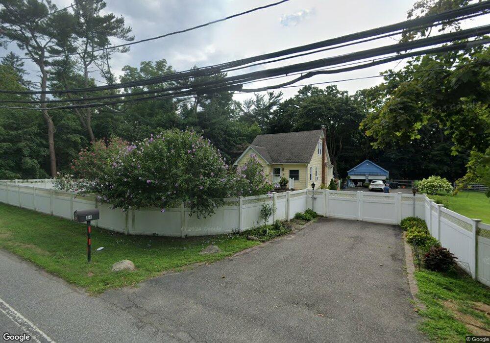
This home is located at 84 Pauls Path, Coram, NY 11727 and is currently estimated at $530,655, approximately $392 per square foot. 84 Pauls Path is a home located in Suffolk County with nearby schools including Longwood Middle School, Longwood Junior High School, and Longwood Senior High School.
Ownership History
Date
Name
Owned For
Owner Type
Purchase Details
Closed on
Mar 29, 2000
Sold by
Williams Roger K
Bought by
Konik Robert H and Konik Carol Ann
Current Estimated Value
Home Financials for this Owner
Home Financials are based on the most recent Mortgage that was taken out on this home.
Original Mortgage
$161,500
Outstanding Balance
$55,608
Interest Rate
8.3%
Estimated Equity
$475,047
Purchase Details
Closed on
Apr 18, 1995
Sold by
Smith Scott J and Smith Melvin
Bought by
Williams Roger K
Create a Home Valuation Report for This Property
The Home Valuation Report is an in-depth analysis detailing your home's value as well as a comparison with similar homes in the area
Home Values in the Area
Average Home Value in this Area
Purchase History
| Date | Buyer | Sale Price | Title Company |
|---|---|---|---|
| Konik Robert H | $170,000 | Fidelity National Title | |
| Konik Robert H | $170,000 | Fidelity National Title | |
| Williams Roger K | $145,000 | -- | |
| Williams Roger K | $145,000 | -- |
Source: Public Records
Mortgage History
| Date | Status | Borrower | Loan Amount |
|---|---|---|---|
| Open | Konik Robert H | $161,500 | |
| Closed | Konik Robert H | $161,500 |
Source: Public Records
Tax History Compared to Growth
Tax History
| Year | Tax Paid | Tax Assessment Tax Assessment Total Assessment is a certain percentage of the fair market value that is determined by local assessors to be the total taxable value of land and additions on the property. | Land | Improvement |
|---|---|---|---|---|
| 2024 | $8,842 | $2,160 | $200 | $1,960 |
| 2023 | $8,842 | $2,160 | $200 | $1,960 |
| 2022 | $7,780 | $2,160 | $200 | $1,960 |
| 2021 | $7,780 | $2,160 | $200 | $1,960 |
| 2020 | $8,003 | $2,160 | $200 | $1,960 |
| 2019 | $8,003 | $0 | $0 | $0 |
| 2018 | $7,582 | $2,160 | $200 | $1,960 |
| 2017 | $7,582 | $2,160 | $200 | $1,960 |
| 2016 | $7,495 | $2,160 | $200 | $1,960 |
| 2015 | -- | $2,160 | $200 | $1,960 |
| 2014 | -- | $2,160 | $200 | $1,960 |
Source: Public Records
Map
Nearby Homes
- 36 Theodore Dr
- 11 Theodore Dr
- 190 Theodore Dr
- 56 Theodore Dr
- 23 Birchwood Rd Unit 23
- 58 Birchwood Rd
- 47 Skyline Dr Unit 47
- 163 Theodore Dr
- 1 Eileen Ct
- 122 Theodore Dr
- 356 Clubhouse Ct
- 151 Pauls Path
- 77 Birchwood Rd
- 40 Pauls Path
- 75 Samantha Dr
- 95 Skyline Dr
- 7 Filmore Ave
- 12 Nicole Ln
- 150 Birchwood Rd
- 655 Middle Country Rd Unit 7B1
- 512 Middle Country Rd
- 518 Middle Country Rd
- 520 Middle Country Rd
- 736 Charles Pond Dr Unit 4-436
- 736 Charles Pond Dr Unit 7-736
- 5 Mooney Pond Rd
- 836 Charles Pond Dr Unit 8-836
- 833 Charles Pond Dr Unit 833
- 311 Charles Pond Dr Unit 3-311
- 316 Charles Pond Dr Unit 316
- 616 Charles Pond Dr Unit 616
- 637 Charles Pond Dr Unit 637
- 7 Mooney Pond Rd
- 2 Mooney Pond Rd
- 9 Mooney Pond Rd
- 125 Charles Pond Dr Unit 1-125
- 236 Charles Pond Dr Unit 5-536
- 236 Charles Pond Dr Unit 2-236
- 313 Charles Pond Dr Unit 313
- 323 Charles Pond Dr Unit 323