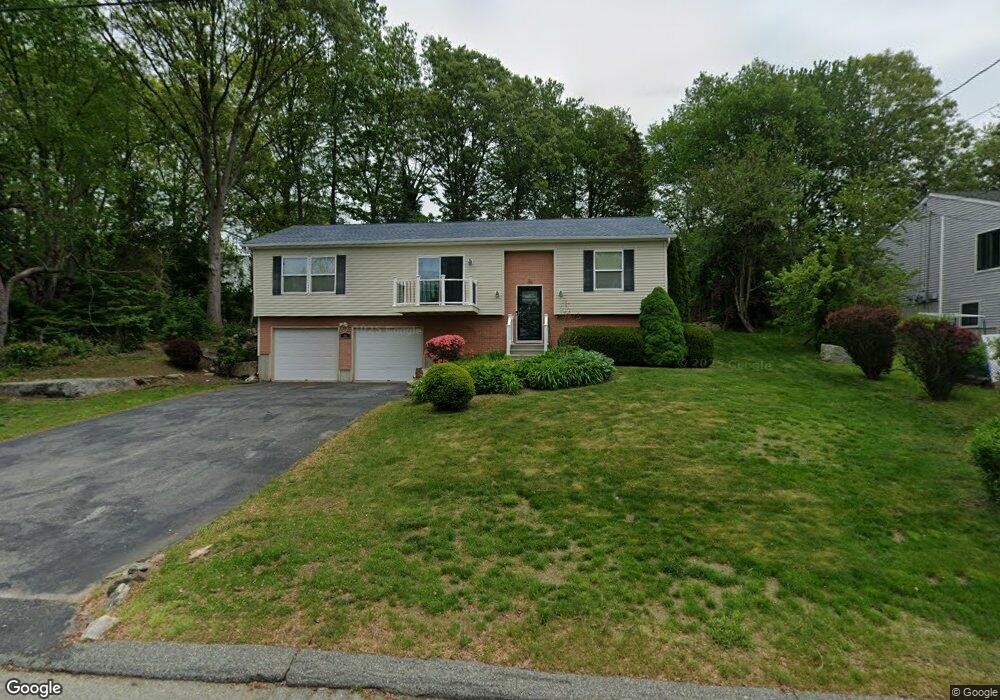
84 Phoenix Dr Groton, CT 06340
Estimated Value: $466,028 - $566,000
3
Beds
2
Baths
2,214
Sq Ft
$227/Sq Ft
Est. Value
About This Home
This home is located at 84 Phoenix Dr, Groton, CT 06340 and is currently estimated at $501,757, approximately $226 per square foot. 84 Phoenix Dr is a home located in New London County with nearby schools including Pleasant Valley School, Groton Middle School, and Robert E. Fitch High School.
Ownership History
Date
Name
Owned For
Owner Type
Purchase Details
Closed on
Aug 5, 2011
Sold by
Lowy Ronald M and Winder Judith A
Bought by
Magnus-Aryitey Darnell
Current Estimated Value
Home Financials for this Owner
Home Financials are based on the most recent Mortgage that was taken out on this home.
Original Mortgage
$225,000
Outstanding Balance
$155,351
Interest Rate
4.51%
Estimated Equity
$346,406
Purchase Details
Closed on
Mar 1, 2004
Sold by
Stevens Wendy
Bought by
Lowy Ronald and Winder Judith
Home Financials for this Owner
Home Financials are based on the most recent Mortgage that was taken out on this home.
Original Mortgage
$184,600
Interest Rate
5.65%
Purchase Details
Closed on
Jun 10, 1999
Sold by
Stevens Marlene M
Bought by
Hauser Robert
Create a Home Valuation Report for This Property
The Home Valuation Report is an in-depth analysis detailing your home's value as well as a comparison with similar homes in the area
Home Values in the Area
Average Home Value in this Area
Purchase History
| Date | Buyer | Sale Price | Title Company |
|---|---|---|---|
| Magnus-Aryitey Darnell | $273,000 | -- | |
| Lowy Ronald | $230,000 | -- | |
| Hauser Robert | $42,500 | -- |
Source: Public Records
Mortgage History
| Date | Status | Borrower | Loan Amount |
|---|---|---|---|
| Open | Hauser Robert | $225,000 | |
| Previous Owner | Hauser Robert | $90,000 | |
| Previous Owner | Hauser Robert | $20,000 | |
| Previous Owner | Hauser Robert | $184,600 |
Source: Public Records
Tax History
| Year | Tax Paid | Tax Assessment Tax Assessment Total Assessment is a certain percentage of the fair market value that is determined by local assessors to be the total taxable value of land and additions on the property. | Land | Improvement |
|---|---|---|---|---|
| 2025 | $6,639 | $234,080 | $99,820 | $134,260 |
| 2024 | $6,269 | $234,080 | $99,820 | $134,260 |
| 2023 | $6,039 | $234,080 | $42,280 | $191,800 |
| 2022 | $5,892 | $234,080 | $42,280 | $191,800 |
| 2021 | $5,471 | $182,910 | $42,280 | $140,630 |
| 2020 | $5,484 | $182,910 | $42,280 | $140,630 |
| 2019 | $5,260 | $182,910 | $42,280 | $140,630 |
| 2018 | $5,240 | $182,910 | $42,280 | $140,630 |
| 2017 | $4,962 | $182,910 | $42,280 | $140,630 |
| 2016 | $4,738 | $185,570 | $55,930 | $129,640 |
| 2015 | $4,585 | $185,570 | $55,930 | $129,640 |
| 2014 | $4,413 | $185,570 | $55,930 | $129,640 |
Source: Public Records
Map
Nearby Homes
- 322 Virgo Dr
- 274 Virgo Dr
- 31 Pegasus Dr
- 23 Skyview Terrace
- 435 Military Hwy Unit 449
- 0 Briar Hill Rd Unit 24148389
- 310 Lestertown Rd
- 141 Starr Hill Rd
- 125 Murphys Dr Unit 125
- 22 Toll Gate Rd
- 41 Riverview Ave
- 6 John Ave
- 108 Thames St
- 132 Thames St Unit R
- 0 Bonnie Cir
- 99 Pamela Ave
- 279 Bridge St Unit 10
- 517-571 Gold Star Hwy
- 10 Hislop St
- 131 Norwood Ave
Your Personal Tour Guide
Ask me questions while you tour the home.