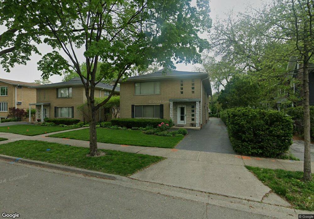
84 Pine Ave Unit 1C Riverside, IL 60546
Estimated Value: $154,000 - $245,000
Studio
--
Bath
6,700
Sq Ft
$29/Sq Ft
Est. Value
About This Home
This home is located at 84 Pine Ave Unit 1C, Riverside, IL 60546 and is currently estimated at $191,394, approximately $28 per square foot. 84 Pine Ave Unit 1C is a home located in Cook County with nearby schools including Central Elementary School, L J Hauser Jr High School, and Riverside Brookfield High School.
Ownership History
Date
Name
Owned For
Owner Type
Purchase Details
Closed on
Jan 10, 2019
Sold by
Jebb Michael Baker and Jebb Gwen Eileen
Bought by
Jebb Michael B and Jebb Gwen E
Current Estimated Value
Purchase Details
Closed on
Dec 10, 1995
Sold by
West Suburban Bank
Bought by
Jebb Michael Baker and Jebb Gwen Eileen
Home Financials for this Owner
Home Financials are based on the most recent Mortgage that was taken out on this home.
Original Mortgage
$118,400
Interest Rate
7.28%
Purchase Details
Closed on
Nov 15, 1993
Sold by
Davis Paul S and Davis Renata J
Bought by
Newkirk Susan
Create a Home Valuation Report for This Property
The Home Valuation Report is an in-depth analysis detailing your home's value as well as a comparison with similar homes in the area
Home Values in the Area
Average Home Value in this Area
Purchase History
We collect this data history from publicly available records. To have your information removed, we recommend requesting removal directly through your county’s website.
| Date | Buyer | Sale Price | Title Company |
|---|---|---|---|
| Jebb Michael B | -- | Attorney | |
| Jebb Michael Baker | $148,000 | -- | |
| Newkirk Susan | $94,666 | -- |
Source: Public Records
Mortgage History
We collect this data history from publicly available records. To have your information removed, we recommend requesting removal directly through your county’s website.
| Date | Status | Borrower | Loan Amount |
|---|---|---|---|
| Closed | Jebb Michael Baker | $118,400 |
Source: Public Records
Tax History
| Year | Tax Paid | Tax Assessment Tax Assessment Total Assessment is a certain percentage of the fair market value that is determined by local assessors to be the total taxable value of land and additions on the property. | Land | Improvement |
|---|---|---|---|---|
| 2025 | $3,254 | $16,141 | $2,679 | $13,462 |
| 2024 | $3,254 | $16,141 | $2,679 | $13,462 |
| 2023 | $2,429 | $16,141 | $2,679 | $13,462 |
| 2022 | $2,429 | $13,185 | $2,287 | $10,898 |
| 2021 | $3,626 | $13,183 | $2,286 | $10,897 |
| 2020 | $3,589 | $13,183 | $2,286 | $10,897 |
| 2019 | $5,862 | $20,084 | $2,090 | $17,994 |
| 2018 | $5,688 | $20,084 | $2,090 | $17,994 |
| 2017 | $5,523 | $20,084 | $2,090 | $17,994 |
| 2016 | $4,260 | $14,593 | $1,764 | $12,829 |
| 2015 | $4,119 | $14,593 | $1,764 | $12,829 |
| 2014 | $4,067 | $14,593 | $1,764 | $12,829 |
| 2013 | $4,914 | $18,380 | $1,764 | $16,616 |
Source: Public Records
Map
Nearby Homes
- 78 Pine Ave
- 63 Kimbark Rd
- 10 E Burlington St Unit 2C
- 10 E Burlington St Unit 3B
- 10 E Burlington St Unit 2B
- 10 E Burlington St Unit 2J
- 112 Lincoln Ave Unit G
- 82 Lawton Rd
- 201 Scottswood Rd
- 220 Maplewood Rd
- 197 Woodside Rd
- 204 Parkview Rd
- 305 Maplewood Rd
- 213 W Quincy St Unit 1
- 193 Herrick Rd
- 3517 Hollywood Ave
- 176 Riverside Rd
- 336 Fairbank Rd
- 285 Desplaines Ave
- 7730 Ogden Ave
- 70 Pine Ave Unit 1B
- 70 Pine Ave Unit 2A
- 70 Pine Ave Unit 3C
- 70 Pine Ave Unit 2C
- 70 Pine Ave Unit 1C
- 70 Pine Ave Unit 3B
- 70 Pine Ave Unit 2B
- 70 Pine Ave Unit 3A
- 70 Pine Ave Unit 1A
- 72 Pine Ave Unit GDN
- 72 Pine Ave
- 72 Pine Ave Unit Garden
- 72 Pine Ave Unit Garden Unit
- 72 Pine Ave Unit 2B
- 72 Pine Ave Unit 3B
- 72 Pine Ave Unit 3C
- 72 Pine Ave Unit 2C
- 72 Pine Ave Unit 1B
- 72 Pine Ave Unit 1C
- 84 Pine Ave Unit 1A
Your Personal Tour Guide
Ask me questions while you tour the home.