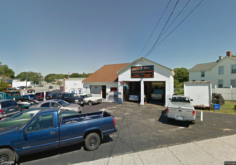
84 Poquonnock Rd Groton, CT 06340
Estimated Value: $543,032
--
Bed
2
Baths
1,262
Sq Ft
$430/Sq Ft
Est. Value
About This Home
This home is located at 84 Poquonnock Rd, Groton, CT 06340 and is currently estimated at $543,032, approximately $430 per square foot. 84 Poquonnock Rd is a home located in New London County with nearby schools including Pleasant Valley School, Groton Middle School, and Robert E. Fitch High School.
Ownership History
Date
Name
Owned For
Owner Type
Purchase Details
Closed on
Apr 20, 2020
Sold by
84 Poquonnock Road Llc
Bought by
Groton City Of
Current Estimated Value
Purchase Details
Closed on
Jul 29, 2011
Sold by
Foltz Richard
Bought by
84 Poquonnock Rd Llc
Home Financials for this Owner
Home Financials are based on the most recent Mortgage that was taken out on this home.
Original Mortgage
$255,000
Interest Rate
4.52%
Mortgage Type
Commercial
Create a Home Valuation Report for This Property
The Home Valuation Report is an in-depth analysis detailing your home's value as well as a comparison with similar homes in the area
Home Values in the Area
Average Home Value in this Area
Purchase History
| Date | Buyer | Sale Price | Title Company |
|---|---|---|---|
| Groton City Of | -- | None Available | |
| 84 Poquonnock Rd Llc | $270,200 | -- |
Source: Public Records
Mortgage History
| Date | Status | Borrower | Loan Amount |
|---|---|---|---|
| Previous Owner | 84 Poquonnock Rd Llc | $255,000 | |
| Previous Owner | 84 Poquonnock Rd Llc | $400,000 |
Source: Public Records
Tax History Compared to Growth
Tax History
| Year | Tax Paid | Tax Assessment Tax Assessment Total Assessment is a certain percentage of the fair market value that is determined by local assessors to be the total taxable value of land and additions on the property. | Land | Improvement |
|---|---|---|---|---|
| 2025 | $3,938 | $136,220 | $108,780 | $27,440 |
| 2024 | $3,663 | $136,220 | $108,780 | $27,440 |
| 2023 | $3,514 | $136,220 | $97,020 | $39,200 |
| 2022 | $3,399 | $136,220 | $97,020 | $39,200 |
| 2021 | $5,547 | $183,190 | $143,290 | $39,900 |
| 2020 | $5,388 | $183,190 | $143,290 | $39,900 |
| 2019 | $5,215 | $183,190 | $143,290 | $39,900 |
| 2018 | $5,267 | $183,190 | $143,290 | $39,900 |
| 2017 | $5,285 | $183,190 | $143,290 | $39,900 |
| 2016 | $4,955 | $182,420 | $145,320 | $37,100 |
| 2015 | $4,892 | $182,420 | $145,320 | $37,100 |
| 2014 | $4,552 | $182,420 | $145,320 | $37,100 |
Source: Public Records
Map
Nearby Homes
- 21 Chicago Ave
- 262 Mitchell St
- 14 Denison Ave
- 3 George Ave
- 33 George Ave Unit B
- 43 George Ave Unit B
- 41 Joe Ave
- 55 Virginia Ave Unit C
- 74 Twin Hills Dr
- 146 Mirra Dr
- 62 Slocomb Terrace
- 51 Warner St
- 170 Meridian St
- 42 Godfrey St
- 136 Meridian St Unit 103
- 132 Thames St Unit R
- 411 Long Hill Rd
- 78 Spicer Ave
- 7 Carol Ct
- 28 Courtland Dr
- 350 Mitchell St
- 94 Poquonnock Rd
- 348 Mitchell St
- 91 Poquonnock Rd
- 2 Benham Rd
- 102 Poquonnock Rd
- 344 Mitchell St
- 8 Benham Rd
- 349 Mitchell St
- 16 Benham Rd
- 106 Poquonnock Rd
- 99 Poquonnock Rd
- 99 Poquonnock Rd Unit 2
- 99 Poquonnock Rd Unit 1 & 2
- 99 Poquonnock Rd Unit 1
- 81 Poquonnock Rd
- 0 Sacred Heart Dr Unit E242948
- 0 Sacred Heart Dr Unit E249898
- 0 Sacred Heart Dr Unit E257248
- 0 Sacred Heart Dr Unit E263287