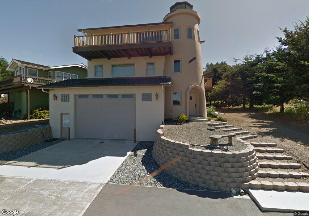
84 Sea View Rd Whitethorn, CA 95589
Estimated Value: $697,019 - $851,000
4
Beds
4
Baths
3,496
Sq Ft
$223/Sq Ft
Est. Value
About This Home
This home is located at 84 Sea View Rd, Whitethorn, CA 95589 and is currently estimated at $778,005, approximately $222 per square foot. 84 Sea View Rd is a home located in Humboldt County.
Ownership History
Date
Name
Owned For
Owner Type
Purchase Details
Closed on
Jul 15, 2014
Sold by
Poynor Mike E
Bought by
Poynor Mike E and Poynor Janice M
Current Estimated Value
Purchase Details
Closed on
Nov 4, 2010
Sold by
Poynor Gerry M
Bought by
Poynor Geraldine M and The Trust Of Geraldine M Poyno
Purchase Details
Closed on
Jul 28, 2010
Sold by
Poynor Mike E
Bought by
Poynor Gerry M
Purchase Details
Closed on
Oct 17, 2007
Sold by
Poynor Mike E and Poynor Janice M
Bought by
Poynor Mike E and Poynor Janice M
Purchase Details
Closed on
Aug 2, 2006
Sold by
Poynor Mike E
Bought by
Poynor Mike E and Poynor Janice M
Create a Home Valuation Report for This Property
The Home Valuation Report is an in-depth analysis detailing your home's value as well as a comparison with similar homes in the area
Home Values in the Area
Average Home Value in this Area
Purchase History
We collect this data history from publicly available records. To have your information removed, we recommend requesting removal directly through your county’s website.
| Date | Buyer | Sale Price | Title Company |
|---|---|---|---|
| Poynor Mike E | -- | None Available | |
| Poynor Mike E | -- | None Available | |
| Poynor Geraldine M | -- | None Available | |
| Poynor Gerry M | -- | None Available | |
| Poynor Mike E | -- | None Available | |
| Poynor Mike E | -- | None Available | |
| Poynor Mike E | -- | None Available | |
| Poynor Mike E | -- | None Available |
Source: Public Records
Tax History
| Year | Tax Paid | Tax Assessment Tax Assessment Total Assessment is a certain percentage of the fair market value that is determined by local assessors to be the total taxable value of land and additions on the property. | Land | Improvement |
|---|---|---|---|---|
| 2025 | $6,882 | $624,622 | $61,879 | $562,743 |
| 2024 | $6,882 | $612,375 | $60,666 | $551,709 |
| 2023 | $6,910 | $600,369 | $59,477 | $540,892 |
| 2022 | $6,805 | $588,598 | $58,311 | $530,287 |
| 2021 | $5,720 | $500,000 | $52,275 | $447,725 |
| 2020 | $5,810 | $500,000 | $52,275 | $447,725 |
| 2019 | $5,775 | $500,000 | $52,275 | $447,725 |
| 2018 | $5,785 | $500,000 | $52,275 | $447,725 |
| 2017 | $5,685 | $500,000 | $52,275 | $447,725 |
| 2016 | $4,378 | $375,000 | $49,000 | $326,000 |
| 2015 | $4,419 | $375,000 | $49,000 | $326,000 |
| 2014 | -- | $375,000 | $49,000 | $326,000 |
Source: Public Records
Map
Nearby Homes
- 56 Sea View Rd
- 34 Sea View Rd
- 22 Sea View Rd
- 114 Sea View Rd
- 101 Seaview Rd
- 1069 Upper Pacific Dr
- 79 Sea View Rd
- 87 Sea View Rd
- 75 Sea View Rd
- 1077 Upper Pacific Dr
- 113 Seaview Rd
- 61 Sea View Rd
- 6 Sea View Rd
- 39 Sea View Rd
- 8200 Salmon Ct
- 124 Sea View Rd
- 123 Sea View Rd
- 27 Sea View Rd
- 7 Salmon Ct
- 19 Sea View Rd
Your Personal Tour Guide
Ask me questions while you tour the home.