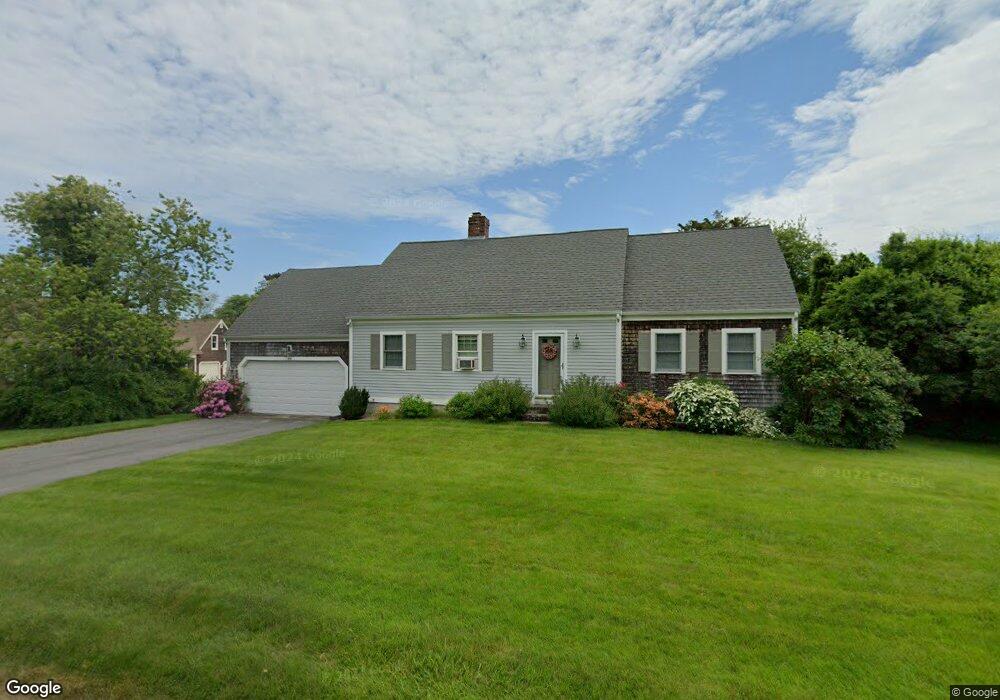
84 Stonehedge Rd Barnstable, MA 02630
Barnstable Village NeighborhoodEstimated Value: $799,944 - $1,425,000
4
Beds
3
Baths
1,964
Sq Ft
$565/Sq Ft
Est. Value
About This Home
This home is located at 84 Stonehedge Rd, Barnstable, MA 02630 and is currently estimated at $1,109,236, approximately $564 per square foot. 84 Stonehedge Rd is a home located in Barnstable County with nearby schools including West Barnstable Elementary School, Barnstable United Elementary School, and Barnstable Intermediate School.
Ownership History
Date
Name
Owned For
Owner Type
Purchase Details
Closed on
Apr 11, 2016
Sold by
Lapadula Leonard J and Lapadula Paulette M
Bought by
Paulette M Lapadula Re
Current Estimated Value
Purchase Details
Closed on
Jun 20, 1988
Sold by
Parrino Robert A
Bought by
Lapadula Leonard J
Home Financials for this Owner
Home Financials are based on the most recent Mortgage that was taken out on this home.
Original Mortgage
$139,200
Interest Rate
10.24%
Mortgage Type
Purchase Money Mortgage
Purchase Details
Closed on
Jun 20, 1987
Sold by
Parrino Robert A
Bought by
Lapadula Leonard J
Home Financials for this Owner
Home Financials are based on the most recent Mortgage that was taken out on this home.
Original Mortgage
$139,200
Interest Rate
10.54%
Mortgage Type
Purchase Money Mortgage
Create a Home Valuation Report for This Property
The Home Valuation Report is an in-depth analysis detailing your home's value as well as a comparison with similar homes in the area
Home Values in the Area
Average Home Value in this Area
Purchase History
| Date | Buyer | Sale Price | Title Company |
|---|---|---|---|
| Paulette M Lapadula Re | -- | -- | |
| Lapadula Leonard J | $174,000 | -- | |
| Lapadula Leonard J | $174,000 | -- |
Source: Public Records
Mortgage History
| Date | Status | Borrower | Loan Amount |
|---|---|---|---|
| Previous Owner | Lapadula Leonard J | $90,000 | |
| Previous Owner | Lapadula Leonard J | $139,200 | |
| Previous Owner | Lapadula Leonard J | $139,200 |
Source: Public Records
Tax History Compared to Growth
Tax History
| Year | Tax Paid | Tax Assessment Tax Assessment Total Assessment is a certain percentage of the fair market value that is determined by local assessors to be the total taxable value of land and additions on the property. | Land | Improvement |
|---|---|---|---|---|
| 2025 | $6,578 | $711,900 | $226,900 | $485,000 |
| 2024 | $6,020 | $687,200 | $226,900 | $460,300 |
| 2023 | $5,520 | $614,700 | $206,300 | $408,400 |
| 2022 | $5,414 | $485,100 | $141,900 | $343,200 |
| 2021 | $5,157 | $440,400 | $144,100 | $296,300 |
| 2020 | $5,084 | $414,700 | $144,100 | $270,600 |
| 2019 | $4,844 | $396,400 | $152,800 | $243,600 |
| 2018 | $4,881 | $388,000 | $178,100 | $209,900 |
| 2017 | $4,729 | $378,300 | $178,100 | $200,200 |
| 2016 | $4,647 | $376,900 | $176,700 | $200,200 |
| 2015 | $4,564 | $376,900 | $176,400 | $200,500 |
Source: Public Records
Map
Nearby Homes
- 85 Stonehedge Rd
- 72 Stonehedge Rd
- 98 Stonehedge Rd
- 97 Stonehedge Rd
- 65 Stonehedge Rd
- 60 Stonehedge Rd
- 108 Stonehedge Rd
- 111 Stonehedge Rd
- 18 White Moor Way
- 25 Fraser Ct
- 10 Fraser Ct
- 51 Stonehedge Rd
- 24 Fraser Ct
- 70 Cindy Ln
- 125 Stonehedge Rd
- 46 Stonehedge Rd
- 90 Cindy Ln
- 11 White Moor Way
- 50 Cindy Ln
- 106 Cindy Ln