84 Weymouth Rd New Gloucester, ME 04260
Estimated Value: $472,000 - $533,000
4
Beds
3
Baths
1,008
Sq Ft
$503/Sq Ft
Est. Value
About This Home
This home is located at 84 Weymouth Rd, New Gloucester, ME 04260 and is currently estimated at $507,152, approximately $503 per square foot. 84 Weymouth Rd is a home located in Cumberland County with nearby schools including Gray-New Gloucester High School.
Ownership History
Date
Name
Owned For
Owner Type
Purchase Details
Closed on
Oct 17, 2007
Sold by
Thompson Donna M
Bought by
Thompson Christopher M and Thompson Kimberley D
Current Estimated Value
Create a Home Valuation Report for This Property
The Home Valuation Report is an in-depth analysis detailing your home's value as well as a comparison with similar homes in the area
Home Values in the Area
Average Home Value in this Area
Purchase History
| Date | Buyer | Sale Price | Title Company |
|---|---|---|---|
| Thompson Christopher M | -- | -- |
Source: Public Records
Mortgage History
| Date | Status | Borrower | Loan Amount |
|---|---|---|---|
| Open | Thompson Christopher M | $189,600 | |
| Closed | Thompson Christopher M | $10,000 |
Source: Public Records
Tax History Compared to Growth
Tax History
| Year | Tax Paid | Tax Assessment Tax Assessment Total Assessment is a certain percentage of the fair market value that is determined by local assessors to be the total taxable value of land and additions on the property. | Land | Improvement |
|---|---|---|---|---|
| 2025 | $4,012 | $259,348 | $73,435 | $185,913 |
| 2024 | $3,862 | $259,348 | $73,435 | $185,913 |
| 2023 | $3,706 | $259,348 | $73,435 | $185,913 |
| 2022 | $3,579 | $259,348 | $73,435 | $185,913 |
| 2021 | $3,579 | $259,348 | $73,435 | $185,913 |
| 2020 | $3,540 | $259,348 | $73,435 | $185,913 |
| 2019 | $3,446 | $203,900 | $65,700 | $138,200 |
| 2018 | $3,222 | $203,900 | $65,700 | $138,200 |
| 2017 | $3,181 | $203,900 | $65,700 | $138,200 |
| 2016 | $2,997 | $203,900 | $65,700 | $138,200 |
| 2015 | $2,987 | $203,900 | $65,700 | $138,200 |
| 2014 | $2,957 | $203,900 | $65,700 | $138,200 |
| 2013 | $2,742 | $203,900 | $65,700 | $138,200 |
Source: Public Records
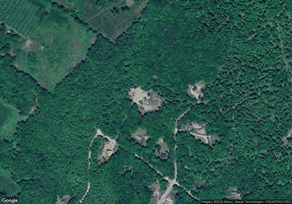
Map
Nearby Homes
- 155 & 151 Gloucester Hill Rd
- 0018-C Gloucester Hill Rd
- 160 Gloucester Hill Rd
- 10 Cobbs Bridge Rd
- 29 Rockwood Dr
- 22 Shaw Rd
- 271 Bennett Rd
- TBD Targett Rd
- 164 Intervale Rd
- 200 Woodman Rd
- 24 Swamp Rd
- 0 Mayall
- 65 Blueberry Ln
- 12 Country Charm Ln
- 343 Shaker Rd
- 14 Golden Way
- 284 Allen Rd
- 244 Allen Rd
- 423 Sabbathday Rd
- 27 Callaway Dr Unit 27A
- 94 Weymouth Rd
- TBD Weymouth Rd
- Lot 5 Weymouth Rd
- 100 Weymouth Rd
- 83 Weymouth Rd
- 00 Weymouth Rd
- 108 Mcintire Rd
- 33 Gerke Park Rd
- 105 Mcintire Rd
- 0 Gerke Park Rd
- 96 Mcintire Rd
- 88 Mcintire Rd
- 31 Gerke Park Rd
- 178 Gloucester Hill Rd
- 178B Gloucester Hill Rd
- 141 Weymouth Rd
- 146 Weymouth Rd
- 147 Weymouth Rd
- 75 Mcintire Rd
- 2 Weymouth Rd