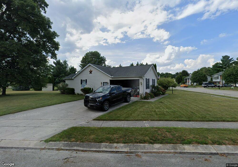
840 Poplar St Unit 156 Hanover, PA 17331
Estimated Value: $320,000 - $374,000
2
Beds
2
Baths
1,568
Sq Ft
$223/Sq Ft
Est. Value
About This Home
This home is located at 840 Poplar St Unit 156, Hanover, PA 17331 and is currently estimated at $350,150, approximately $223 per square foot. 840 Poplar St Unit 156 is a home located in Adams County with nearby schools including New Oxford Senior High School, St. Teresa of Calcutta Catholic School - McSherrystown Campus, and St. Teresa of Calcutta Catholic School - Conewago Campus.
Ownership History
Date
Name
Owned For
Owner Type
Purchase Details
Closed on
May 1, 2002
Bought by
Traband Richard B and Traband Lisa M
Current Estimated Value
Create a Home Valuation Report for This Property
The Home Valuation Report is an in-depth analysis detailing your home's value as well as a comparison with similar homes in the area
Home Values in the Area
Average Home Value in this Area
Purchase History
| Date | Buyer | Sale Price | Title Company |
|---|---|---|---|
| Traband Richard B | $48,500 | -- |
Source: Public Records
Tax History Compared to Growth
Tax History
| Year | Tax Paid | Tax Assessment Tax Assessment Total Assessment is a certain percentage of the fair market value that is determined by local assessors to be the total taxable value of land and additions on the property. | Land | Improvement |
|---|---|---|---|---|
| 2025 | $5,367 | $224,100 | $41,900 | $182,200 |
| 2024 | $4,957 | $224,100 | $41,900 | $182,200 |
| 2023 | $4,774 | $224,100 | $41,900 | $182,200 |
| 2022 | $4,628 | $224,100 | $41,900 | $182,200 |
| 2021 | $4,509 | $224,100 | $41,900 | $182,200 |
| 2020 | $4,516 | $224,100 | $41,900 | $182,200 |
| 2019 | $4,313 | $224,100 | $41,900 | $182,200 |
| 2018 | $4,222 | $224,100 | $41,900 | $182,200 |
| 2017 | $4,048 | $224,100 | $41,900 | $182,200 |
| 2016 | -- | $224,100 | $41,900 | $182,200 |
| 2015 | -- | $224,100 | $41,900 | $182,200 |
| 2014 | -- | $224,100 | $41,900 | $182,200 |
Source: Public Records
Map
Nearby Homes
- 303 Puma Dr Unit 22
- 617 N Blettner Ave Unit 120
- 10 Bear Cir Unit 29
- 337 2 Main
- 129 Main St
- 417 Main St
- 335 North St
- 535 South St
- 303 Ridge Ave
- 618 North St
- 213 S Madison St
- 46 Flint Dr
- 718 Linden Ave
- 54 Flint Dr
- 62 Flint Dr
- 65 Flint Dr
- 11 Flint Dr
- 24 Red Stone Ln Unit 47
- 24 Red Stone Ln
- 84 Red Stone Ln Unit 41
- 115 Cheetah Dr Unit 157
- 165 Panther Dr Unit 51
- 95 Cheetah Dr Unit 155
- 157 Panther Dr Unit 52
- 110 Cheetah Dr Unit 189
- 125 Cheetah Dr Unit 158
- 120 Cheetah Dr Unit 188
- 845 Poplar St Unit 50
- 98 Cheetah Dr Unit 190
- 149 Panther Dr Unit 53
- 130 Cheetah Dr Unit 187
- 85 Cheetah Dr Unit 154
- 137 Cheetah Dr
- 137 Cheetah Dr Unit 159
- 181 Panther Dr Unit 49
- 806 Poplar St Unit 202
- 88 Cheetah Dr Unit 191
- 88 Ocelot Dr Unit 203
- 902 Poplar St Unit 10
- 140 Cheetah Dr Unit 186