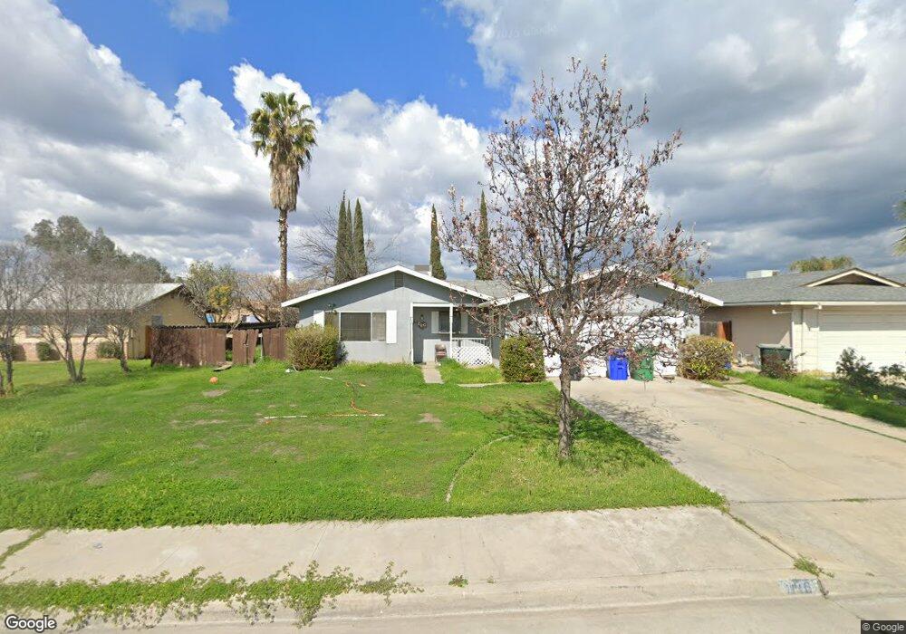
840 Sandra Ln Porterville, CA 93257
Porterville Northwest NeighborhoodEstimated Value: $290,462 - $365,000
3
Beds
2
Baths
1,345
Sq Ft
$240/Sq Ft
Est. Value
About This Home
This home is located at 840 Sandra Ln, Porterville, CA 93257 and is currently estimated at $323,116, approximately $240 per square foot. 840 Sandra Ln is a home located in Tulare County with nearby schools including Monte Vista Elementary School, Strathmore Elementary School, and Sequoia Middle School.
Ownership History
Date
Name
Owned For
Owner Type
Purchase Details
Closed on
Jul 28, 2014
Sold by
Zillmer Peggy Y
Bought by
Fred C & Peggy Y Zillmer Living Trust
Current Estimated Value
Purchase Details
Closed on
Sep 24, 2008
Sold by
Isbell Robert
Bought by
Isbell Robert and The Robert L Isbell Revocable Trust
Purchase Details
Closed on
Feb 22, 2008
Sold by
Nichols Gregory L
Bought by
Isbell Robert L
Home Financials for this Owner
Home Financials are based on the most recent Mortgage that was taken out on this home.
Original Mortgage
$161,054
Interest Rate
5.64%
Mortgage Type
Purchase Money Mortgage
Purchase Details
Closed on
Jun 2, 2003
Sold by
Nichols Odie C
Bought by
Nichols Odie C and The Odie C Nichols Living Trust
Create a Home Valuation Report for This Property
The Home Valuation Report is an in-depth analysis detailing your home's value as well as a comparison with similar homes in the area
Home Values in the Area
Average Home Value in this Area
Purchase History
| Date | Buyer | Sale Price | Title Company |
|---|---|---|---|
| Fred C & Peggy Y Zillmer Living Trust | -- | None Available | |
| Isbell Robert | -- | None Available | |
| Isbell Robert L | $160,000 | Stewart Title Of California | |
| Nichols Odie C | -- | -- |
Source: Public Records
Mortgage History
| Date | Status | Borrower | Loan Amount |
|---|---|---|---|
| Previous Owner | Isbell Robert L | $161,054 |
Source: Public Records
Tax History Compared to Growth
Tax History
| Year | Tax Paid | Tax Assessment Tax Assessment Total Assessment is a certain percentage of the fair market value that is determined by local assessors to be the total taxable value of land and additions on the property. | Land | Improvement |
|---|---|---|---|---|
| 2025 | $1,442 | $135,808 | $33,651 | $102,157 |
| 2024 | $1,442 | $133,146 | $32,992 | $100,154 |
| 2023 | $1,441 | $130,537 | $32,346 | $98,191 |
| 2022 | $1,397 | $127,978 | $31,712 | $96,266 |
| 2021 | $1,380 | $125,468 | $31,090 | $94,378 |
| 2020 | $1,366 | $124,181 | $30,771 | $93,410 |
| 2019 | $1,341 | $121,746 | $30,168 | $91,578 |
| 2018 | $1,317 | $119,358 | $29,576 | $89,782 |
| 2017 | $1,285 | $117,018 | $28,996 | $88,022 |
| 2016 | $1,233 | $114,723 | $28,427 | $86,296 |
| 2015 | $1,210 | $113,000 | $28,000 | $85,000 |
| 2014 | $1,210 | $113,000 | $28,000 | $85,000 |
Source: Public Records
Map
Nearby Homes
- 680 W Gerry Cir
- 681 W Mulberry Ave
- 927 Shadowood Place
- 701 W Theta Ave
- 701 Theta Ave
- 793 Pioneer Ave
- 829 Pioneer Ave
- 1089 Pioneer Ave
- 1045 N Westside St
- 816 W Grand Ave
- 824 W Grand Ave
- 1167 N Main St
- 572 Memory Ln
- 700 N Prospect St
- 640 N Prospect St
- 670 W Kanai Ave
- 579 N Villa St
- 1245 Atkins St
- 1076 N Beverly St
- 1465 N Highland Dr