Estimated Value: $272,000 - $395,000
--
Bed
2
Baths
1,907
Sq Ft
$183/Sq Ft
Est. Value
About This Home
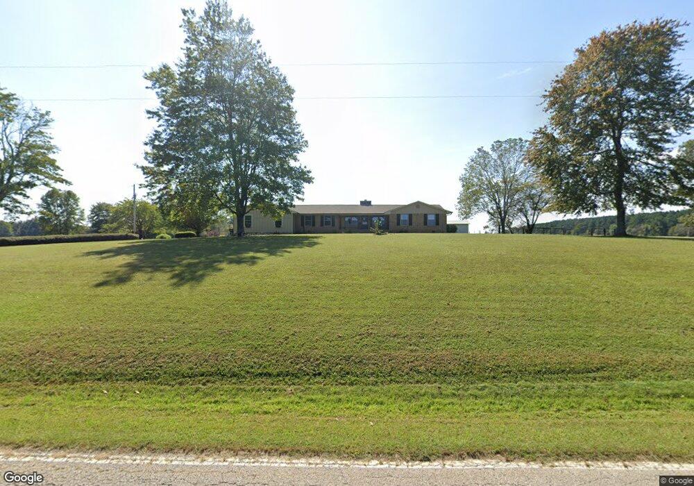
This home is located at 8400 Highway 424, Yuma, TN 38390 and is currently estimated at $349,025, approximately $183 per square foot. 8400 Highway 424 is a home located in Carroll County with nearby schools including Clarksburg School.
Ownership History
Date
Name
Owned For
Owner Type
Purchase Details
Closed on
Sep 28, 2018
Sold by
Smith Patsy
Bought by
Smith Dustin Patrick
Current Estimated Value
Home Financials for this Owner
Home Financials are based on the most recent Mortgage that was taken out on this home.
Original Mortgage
$99,000
Outstanding Balance
$60,962
Interest Rate
4.5%
Mortgage Type
New Conventional
Estimated Equity
$288,063
Purchase Details
Closed on
Apr 24, 1986
Purchase Details
Closed on
Nov 12, 1960
Bought by
Todd Max and Todd Mary
Purchase Details
Closed on
Jul 21, 1948
Create a Home Valuation Report for This Property
The Home Valuation Report is an in-depth analysis detailing your home's value as well as a comparison with similar homes in the area
Home Values in the Area
Average Home Value in this Area
Purchase History
| Date | Buyer | Sale Price | Title Company |
|---|---|---|---|
| Smith Dustin Patrick | $198,000 | -- | |
| -- | $1,000 | -- | |
| Todd Max | -- | -- | |
| -- | -- | -- |
Source: Public Records
Mortgage History
| Date | Status | Borrower | Loan Amount |
|---|---|---|---|
| Open | Smith Dustin Patrick | $99,000 |
Source: Public Records
Tax History Compared to Growth
Tax History
| Year | Tax Paid | Tax Assessment Tax Assessment Total Assessment is a certain percentage of the fair market value that is determined by local assessors to be the total taxable value of land and additions on the property. | Land | Improvement |
|---|---|---|---|---|
| 2025 | $1,522 | $100,000 | $0 | $0 |
| 2024 | $1,522 | $55,000 | $15,650 | $39,350 |
| 2023 | $1,522 | $55,000 | $15,650 | $39,350 |
| 2022 | $1,522 | $55,000 | $15,650 | $39,350 |
| 2021 | $777 | $55,000 | $15,650 | $39,350 |
| 2020 | $1,284 | $46,400 | $15,650 | $30,750 |
| 2019 | $1,268 | $41,225 | $12,450 | $28,775 |
| 2018 | $1,268 | $59,725 | $30,950 | $28,775 |
| 2017 | $1,268 | $41,225 | $12,450 | $28,775 |
| 2016 | $1,479 | $41,225 | $12,450 | $28,775 |
| 2015 | $1,020 | $32,150 | $12,450 | $19,700 |
| 2014 | $955 | $32,150 | $12,450 | $19,700 |
| 2013 | $955 | $28,940 | $0 | $0 |
Source: Public Records
Map
Nearby Homes
- 000 Hart Cemetery Rd
- 75 Crum Rd
- 2438 Leo Woods Rd
- 935 Pearson Rd
- 0 Pearson Rd
- 5300 Mount Gilead Rd
- 90 Murphy Ln
- 3390 Tennessee 22
- 790 Roan Creek Levee Rd
- 000 County Line Rd
- 7 Carnal Rd
- 70 Rock Springs Rd
- 21540 Highway 22 Hwy
- 0 Weatherford St Unit 134445
- 1023 Strike King Dr
- 997 Strike King Dr
- 191 Strike King Dr
- 983 Strike King Dr
- 188 Strike King Dr
- 0 Excalibur Trail (Lot 255 256)
- 2640 Dees Rd
- 2652 Dees Rd
- 8525 Highway 424
- 8525 Highway 424
- 8265 Highway 424
- 8230 Highway 424
- 8575 Highway 424
- 8115 Highway 424
- 8115 Highway 424
- 3035 Dees Rd
- 8735 Highway 424
- 2941 Dees Rd
- 2641 Dees Rd
- 8795 Highway 424
- 3175 Dees Rd
- 8920 Highway 424
- 7817 Highway 424
- 7705 Highway 424
- 2090 Dees Rd
- 1985 Dees Rd