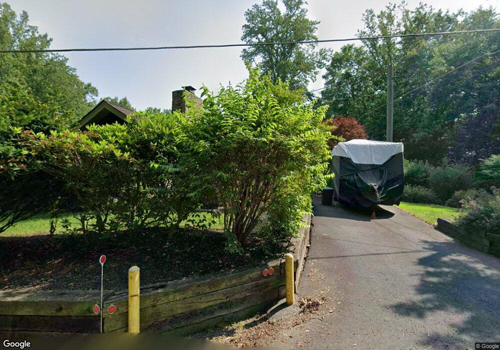
8400 N Point Rd Manassas, VA 20112
Estimated Value: $345,000 - $366,651
1
Bed
1
Bath
1,061
Sq Ft
$336/Sq Ft
Est. Value
About This Home
This home is located at 8400 N Point Rd, Manassas, VA 20112 and is currently estimated at $356,413, approximately $335 per square foot. 8400 N Point Rd is a home located in Prince William County with nearby schools including Bennett Elementary School, Parkside Middle School, and Osbourn Park High School.
Ownership History
Date
Name
Owned For
Owner Type
Purchase Details
Closed on
Jul 16, 2023
Sold by
Campbell Eddie D
Bought by
Kedigh Stacy D
Current Estimated Value
Purchase Details
Closed on
Nov 19, 1997
Sold by
Norris George S
Bought by
Campbell + Eddie D
Home Financials for this Owner
Home Financials are based on the most recent Mortgage that was taken out on this home.
Original Mortgage
$111,650
Interest Rate
7.17%
Mortgage Type
New Conventional
Create a Home Valuation Report for This Property
The Home Valuation Report is an in-depth analysis detailing your home's value as well as a comparison with similar homes in the area
Home Values in the Area
Average Home Value in this Area
Purchase History
| Date | Buyer | Sale Price | Title Company |
|---|---|---|---|
| Kedigh Stacy D | -- | None Listed On Document | |
| Campbell + Eddie D | $112,000 | -- |
Source: Public Records
Mortgage History
| Date | Status | Borrower | Loan Amount |
|---|---|---|---|
| Previous Owner | Campbell + Eddie D | $111,650 |
Source: Public Records
Tax History Compared to Growth
Tax History
| Year | Tax Paid | Tax Assessment Tax Assessment Total Assessment is a certain percentage of the fair market value that is determined by local assessors to be the total taxable value of land and additions on the property. | Land | Improvement |
|---|---|---|---|---|
| 2025 | $2,787 | $255,700 | $121,000 | $134,700 |
| 2024 | $2,787 | $243,500 | $114,300 | $129,200 |
| 2023 | $2,875 | $241,500 | $112,400 | $129,100 |
| 2022 | $2,909 | $215,100 | $99,300 | $115,800 |
| 2021 | $2,746 | $193,500 | $88,800 | $104,700 |
| 2020 | $2,823 | $182,100 | $85,300 | $96,800 |
| 2019 | $2,762 | $178,200 | $83,400 | $94,800 |
| 2018 | $2,391 | $174,200 | $82,600 | $91,600 |
| 2017 | $2,425 | $168,800 | $80,100 | $88,700 |
| 2016 | $2,295 | $160,700 | $76,100 | $84,600 |
| 2015 | $2,208 | $158,700 | $75,500 | $83,200 |
| 2014 | $2,208 | $151,500 | $71,400 | $80,100 |
Source: Public Records
Map
Nearby Homes
- 11600 Purse Dr
- 11521 Luther Dr
- 11784 Maya Ln
- 8212 Fox St
- 11760 Mandy Ln
- 8191 Fox St
- 11999 Manning Rd
- 8125 Pappas Dr
- 8690 Charles Wack St
- 8032 Cobb Rd
- 8028 Pinnacle Ridge Dr
- 8115 King Arthurs Ct
- 11938 Hunt Rd
- 11401 Donnington Ct
- 8126 Blandsford Dr
- 9085 Baber Dr
- 12118 Dumfries Rd
- 12214 Dumfries Rd
- 7754 Glade Ct
- 11617 Smithfield Rd
- 8399 N Point Rd
- 8420 N Point Rd
- 11674 Purse Dr
- 11641 Bridge Ave
- 11647 Bridge Ave
- 11640 Purse Dr
- 11643 Bridge Ave
- 11633 Purse Dr
- 11648 Purse Dr
- 11639 Bridge Ave
- 11651 Bridge Ave
- 11649 Bridge Ave
- 11642 Bridge Ave
- 11640 Bridge Ave
- 11638 Purse Dr
- 11644 Bridge Ave
- 11629 Purse Dr
- 11638 Bridge Ave
- 11648 Bridge Ave
- 11646 Bridge Ave