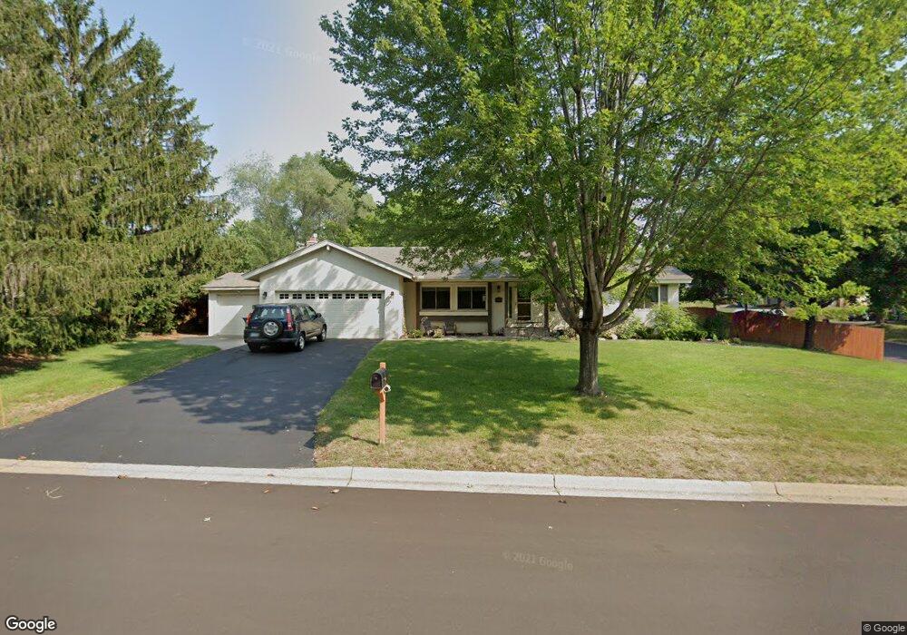
8400 W 106th St Bloomington, MN 55438
West Bloomington NeighborhoodEstimated Value: $450,000 - $515,000
4
Beds
3
Baths
1,456
Sq Ft
$332/Sq Ft
Est. Value
About This Home
This home is located at 8400 W 106th St, Bloomington, MN 55438 and is currently estimated at $483,377, approximately $331 per square foot. 8400 W 106th St is a home located in Hennepin County with nearby schools including Normandale Hills Elementary School, Olson Middle School, and Jefferson Senior High School.
Ownership History
Date
Name
Owned For
Owner Type
Purchase Details
Closed on
Aug 10, 2023
Sold by
Mavis Shannon L and Mavis Christopher F
Bought by
Christopher And Shannon Mavis Revocable Livin and Mavis
Current Estimated Value
Purchase Details
Closed on
Aug 31, 2000
Sold by
Hansen Diane E and Hansen Richard R
Bought by
Mavis Shannon L and Mavis Christopher F
Create a Home Valuation Report for This Property
The Home Valuation Report is an in-depth analysis detailing your home's value as well as a comparison with similar homes in the area
Home Values in the Area
Average Home Value in this Area
Purchase History
| Date | Buyer | Sale Price | Title Company |
|---|---|---|---|
| Christopher And Shannon Mavis Revocable Livin | $485 | None Listed On Document | |
| Mavis Shannon L | $228,500 | -- |
Source: Public Records
Tax History Compared to Growth
Tax History
| Year | Tax Paid | Tax Assessment Tax Assessment Total Assessment is a certain percentage of the fair market value that is determined by local assessors to be the total taxable value of land and additions on the property. | Land | Improvement |
|---|---|---|---|---|
| 2024 | $5,840 | $451,800 | $160,800 | $291,000 |
| 2023 | $5,687 | $468,600 | $171,000 | $297,600 |
| 2022 | $4,749 | $442,700 | $150,700 | $292,000 |
| 2021 | $4,302 | $370,100 | $132,600 | $237,500 |
| 2020 | $4,567 | $341,000 | $134,400 | $206,600 |
| 2019 | $4,042 | $350,800 | $134,400 | $216,400 |
| 2018 | $3,970 | $308,400 | $124,200 | $184,200 |
| 2017 | $3,610 | $274,200 | $101,600 | $172,600 |
| 2016 | $3,785 | $272,900 | $97,300 | $175,600 |
| 2015 | $3,696 | $257,800 | $95,600 | $162,200 |
| 2014 | -- | $236,300 | $92,600 | $143,700 |
Source: Public Records
Map
Nearby Homes
- 10462 Decatur Ave S
- 10434 Decatur Ave S
- 10405 Decatur Ave S
- 9579 Falcons Way
- 7920 W 107th Street Cir
- 10707 Yukon Ave S
- 10417 Fawns Way
- 8149 W 103rd St
- 10127 Trotters Path
- 10181 Wild Duck Pass
- 9878 Lee Dr
- 10433 Utah Rd
- 7534 Landau Dr
- 10170 Utah Ave S
- 8022 W 111th St Unit 8022
- 7433 W 105th St
- 7518 W 110th St
- 10907 Rhode Island Ave S
- 10911 Rhode Island Ave S
- 10281 Arrowwood Dr
- 10540 Cavell Ave S
- 10563 Decatur Ave S
- 10561 Decatur Ave S
- 10559 Decatur Ave S
- 10532 Cavell Ave S
- 10557 Decatur Ave S
- 10553 Decatur Ave S
- 10541 Cavell Ave S
- 10551 Decatur Ave S
- 10555 Decatur Ave S
- 10562 Decatur Ave S
- 10533 Cavell Ave S
- 10524 Cavell Ave S
- 10545 Decatur Ave S
- 10556 Decatur Ave S
- 10549 Decatur Ave S
- 10554 Decatur Ave S
- 10525 Cavell Ave S
- 8320 W 106th St
- 10548 Decatur Ave S