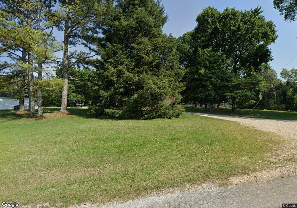
841 Byrd Rd Humboldt, TN 38343
Estimated Value: $155,642 - $262,000
--
Bed
--
Bath
1,784
Sq Ft
$120/Sq Ft
Est. Value
About This Home
This home is located at 841 Byrd Rd, Humboldt, TN 38343 and is currently estimated at $214,214, approximately $120 per square foot. 841 Byrd Rd is a home with nearby schools including Crockett County High School.
Ownership History
Date
Name
Owned For
Owner Type
Purchase Details
Closed on
May 30, 2003
Sold by
Huffstutter Michael A
Bought by
Griggs Robert M
Current Estimated Value
Purchase Details
Closed on
Feb 9, 1999
Sold by
Tucker Randell L
Bought by
Huffstutter Michael
Purchase Details
Closed on
Apr 1, 1997
Sold by
Johnson William T
Bought by
Tucker Randall
Purchase Details
Closed on
Feb 6, 1992
Bought by
Johnson William T and Johnson Sarah
Purchase Details
Closed on
May 19, 1986
Bought by
Matthews Charles and Matthews Teresa
Purchase Details
Closed on
May 5, 1986
Create a Home Valuation Report for This Property
The Home Valuation Report is an in-depth analysis detailing your home's value as well as a comparison with similar homes in the area
Home Values in the Area
Average Home Value in this Area
Purchase History
| Date | Buyer | Sale Price | Title Company |
|---|---|---|---|
| Griggs Robert M | $72,000 | -- | |
| Huffstutter Michael | $69,000 | -- | |
| Tucker Randall | $65,000 | -- | |
| Johnson William T | $34,000 | -- | |
| Matthews Charles | -- | -- | |
| -- | -- | -- |
Source: Public Records
Tax History Compared to Growth
Tax History
| Year | Tax Paid | Tax Assessment Tax Assessment Total Assessment is a certain percentage of the fair market value that is determined by local assessors to be the total taxable value of land and additions on the property. | Land | Improvement |
|---|---|---|---|---|
| 2025 | $644 | $42,675 | $0 | $0 |
| 2024 | $644 | $28,350 | $6,250 | $22,100 |
| 2023 | $644 | $28,350 | $6,250 | $22,100 |
| 2022 | $644 | $28,350 | $6,250 | $22,100 |
| 2021 | $486 | $18,400 | $4,275 | $14,125 |
| 2020 | $476 | $18,400 | $4,275 | $14,125 |
| 2019 | $486 | $18,400 | $4,275 | $14,125 |
| 2018 | $486 | $18,400 | $4,275 | $14,125 |
| 2017 | $486 | $18,400 | $4,275 | $14,125 |
| 2016 | $486 | $18,400 | $4,275 | $14,125 |
| 2015 | $460 | $18,400 | $4,275 | $14,125 |
| 2014 | $460 | $17,426 | $0 | $0 |
Source: Public Records
Map
Nearby Homes
- 120 Westwood Cove
- 21679 U S 79
- 133 Mason St
- 127 Franklin St
- 00 Lot#1 Humboldt Lake Rd
- 00 Lot#4 Humboldt Lake Rd
- 0 Clarence Norfleet Rd
- 24 Walter Helms Rd
- 00 Plomar Williams Rd
- 0 Plomar Williams Rd
- 397 Aubrey Fergerson Rd
- 1313 Old Bells Rd
- 0 Aubrey Fergerson Rd
- 00 Highway 45 W
- 0 W Main St
- 23 Forked Oak Ln
- 106 S 13th Ave
- 133 Westhaven Place
- 580 Westside Dr
- 76 Etheridge St Unit R
- 1544 Mason Grove Rd
- 1544 Mason Grove Rd
- 732 Byrd Rd
- 1480 Mason Grove Rd
- 553 Byrd Rd
- 1217 Mason Grove Rd
- 132 Dade Ellington Rd
- 00 Byrd Rd
- 1184 Mason Grove Rd
- 1511 Mason Grove Rd
- 364 Byrd Rd
- 1114 Mason Grove Rd
- 2040 Mason Grove Rd
- 2040 Mason Grove Rd
- 2170 Mason Grove Rd
- 216 Byrd Rd
- 2209 Mason Grove Rd
- 198 Byrd Rd
- 2226 Mason Grove Rd
- 2238 Mason Grove Rd
