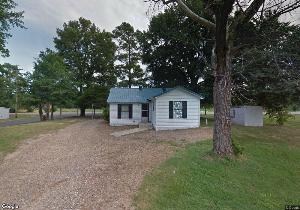
841 Westside Dr Ashdown, AR 71822
Estimated Value: $54,105 - $164,000
Studio
1
Bath
856
Sq Ft
$127/Sq Ft
Est. Value
About This Home
This home is located at 841 Westside Dr, Ashdown, AR 71822 and is currently estimated at $108,776, approximately $127 per square foot. 841 Westside Dr is a home located in Little River County with nearby schools including Ashdown Elementary School, L.F. Henderson Interm. School, and Ashdown Junior High School.
Ownership History
Date
Name
Owned For
Owner Type
Purchase Details
Closed on
Mar 13, 2008
Bought by
Duncan Jarry and Duncan Glenda
Current Estimated Value
Purchase Details
Closed on
Mar 2, 2007
Bought by
Rowe James D and Rowe Stephanie
Purchase Details
Closed on
Nov 30, 2006
Bought by
Falkner Nancy D
Purchase Details
Closed on
Aug 14, 2002
Bought by
Thomason Ruby L and Thomason Lonnie J
Purchase Details
Closed on
Jan 1, 1989
Bought by
Jewell and Jewell Arnold, D
Create a Home Valuation Report for This Property
The Home Valuation Report is an in-depth analysis detailing your home's value as well as a comparison with similar homes in the area
Home Values in the Area
Average Home Value in this Area
Purchase History
| Date | Buyer | Sale Price | Title Company |
|---|---|---|---|
| Duncan Jarry | $30,000 | -- | |
| Rowe James D | $24,000 | -- | |
| Falkner Nancy D | -- | -- | |
| Thomason Ruby L | $23,000 | -- | |
| Thomason Ruby L | -- | -- | |
| Jewell Danny J | -- | -- | |
| Jewell | $18,000 | -- |
Source: Public Records
Tax History
| Year | Tax Paid | Tax Assessment Tax Assessment Total Assessment is a certain percentage of the fair market value that is determined by local assessors to be the total taxable value of land and additions on the property. | Land | Improvement |
|---|---|---|---|---|
| 2025 | $324 | $7,730 | $1,150 | $6,580 |
| 2024 | $324 | $7,730 | $1,150 | $6,580 |
| 2023 | $300 | $7,730 | $1,150 | $6,580 |
| 2022 | $275 | $7,730 | $1,150 | $6,580 |
| 2021 | $250 | $5,960 | $800 | $5,160 |
| 2020 | $250 | $5,960 | $800 | $5,160 |
| 2019 | $250 | $5,960 | $800 | $5,160 |
| 2018 | $250 | $5,960 | $800 | $5,160 |
| 2017 | $250 | $5,960 | $800 | $5,160 |
| 2016 | $237 | $5,660 | $940 | $4,720 |
| 2015 | $237 | $5,660 | $940 | $4,720 |
| 2014 | $229 | $5,660 | $940 | $4,720 |
Source: Public Records
Map
Nearby Homes
- 1249 S 9th St
- TBD Lr 183
- 682 U S Highway 71
- 680 U S Highway 71
- 210 E Cowling St
- 270 Burke St
- 171 N Dupree St
- 909 Park Ave
- 251 S Walker St
- 1331 Grant St
- TBD Lr 21
- 1211 Buck Wright Rd
- 0 Little River 43
- 000 Little River 43
- 912 N Smith Cir
- 1609 Buck Wright Rd
- 1151 Rankin St
- 1565 Rankin St
- 1520 Pine Dr
- 1560 Leona Dr
Your Personal Tour Guide
Ask me questions while you tour the home.