8411 Apache Rd Lenexa, KS 66227
Estimated Value: $407,885 - $561,000
3
Beds
2
Baths
1,864
Sq Ft
$260/Sq Ft
Est. Value
About This Home
This home is located at 8411 Apache Rd, Lenexa, KS 66227 and is currently estimated at $484,221, approximately $259 per square foot. 8411 Apache Rd is a home located in Johnson County with nearby schools including Mize Elementary School, Mill Creek Middle School, and De Soto High School.
Ownership History
Date
Name
Owned For
Owner Type
Purchase Details
Closed on
Aug 30, 2021
Sold by
Spangler Donald M
Bought by
Lawson Chad A and Lawson Lorie A
Current Estimated Value
Home Financials for this Owner
Home Financials are based on the most recent Mortgage that was taken out on this home.
Original Mortgage
$200,000
Outstanding Balance
$179,693
Interest Rate
2.7%
Mortgage Type
New Conventional
Estimated Equity
$304,528
Create a Home Valuation Report for This Property
The Home Valuation Report is an in-depth analysis detailing your home's value as well as a comparison with similar homes in the area
Home Values in the Area
Average Home Value in this Area
Purchase History
| Date | Buyer | Sale Price | Title Company |
|---|---|---|---|
| Lawson Chad A | -- | Kansas City Title Inc |
Source: Public Records
Mortgage History
| Date | Status | Borrower | Loan Amount |
|---|---|---|---|
| Open | Lawson Chad A | $200,000 |
Source: Public Records
Tax History
| Year | Tax Paid | Tax Assessment Tax Assessment Total Assessment is a certain percentage of the fair market value that is determined by local assessors to be the total taxable value of land and additions on the property. | Land | Improvement |
|---|---|---|---|---|
| 2025 | $5,177 | $46,955 | $9,397 | $37,558 |
| 2023 | $4,448 | $36,202 | $6,831 | $29,371 |
| 2022 | $3,968 | $31,717 | $6,831 | $24,886 |
| 2021 | $3,718 | $28,716 | $6,523 | $22,193 |
| 2020 | $3,458 | $26,519 | $5,657 | $20,862 |
| 2019 | $3,309 | $25,001 | $4,699 | $20,302 |
| 2018 | $3,249 | $24,219 | $4,699 | $19,520 |
| 2017 | $3,196 | $22,920 | $4,699 | $18,221 |
| 2016 | $3,022 | $21,390 | $4,699 | $16,691 |
| 2015 | $3,074 | $20,930 | $4,699 | $16,231 |
| 2013 | -- | $20,482 | $4,699 | $15,783 |
Source: Public Records
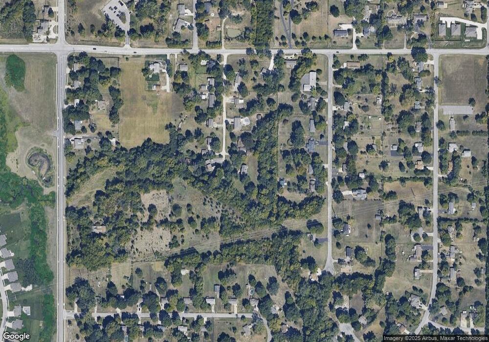
Map
Nearby Homes
- 23939 W 82nd Ct
- 8411 Houston St
- 8978 Shady Bend Rd
- 8901 Shady Bend Rd
- 8973 Shady Bend Rd
- 8972 Shady Bend Rd
- 8996 Shady Bend Rd
- 8441 Shady Bend Rd
- 25024 W 87th St
- 8785 Greeley St
- 25274 W 83rd Terrace
- 8307 Cassidy St
- 8331 Cassidy St
- 8338 Cassidy St
- 8315 Cassidy St
- 8523 Pickering St
- 25371 W 84th St
- 23718 W 88th Terrace
- 25000 W 89th St
- 26827 W 83rd Terrace
- 8333 Apache Rd
- 8412 Apache Rd
- 8400 Mccormack Dr
- 8328 Apache Rd
- 8323 Apache Rd
- 8406 Mccormack Dr
- 8320 Mccormack Dr
- 8322 Apache Rd
- 8314 Mccormack Dr
- 8317 Apache Rd
- 8418 Mccormack Dr
- 24956 W 94th Place
- 25023 W 94th Place
- 25034 W 94th Place
- 24999 W 94th Place Unit 37R
- 25034 W 94th Place Unit 28L
- 24969 W 94th Place
- 24999 W 94th Place
- 8316 Apache Rd
- 8310 Mccormack Dr
Your Personal Tour Guide
Ask me questions while you tour the home.