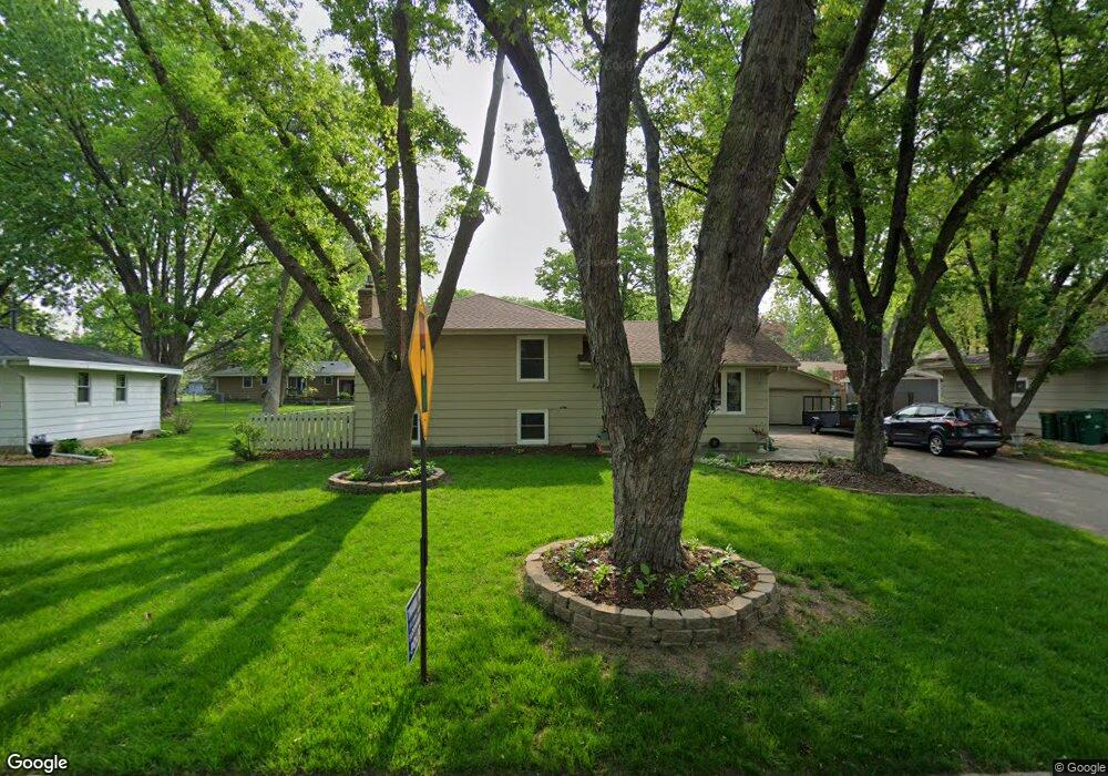
8417 Stanley Ave S Bloomington, MN 55437
West Bloomington NeighborhoodEstimated Value: $343,000 - $388,580
3
Beds
2
Baths
1,937
Sq Ft
$191/Sq Ft
Est. Value
About This Home
This home is located at 8417 Stanley Ave S, Bloomington, MN 55437 and is currently estimated at $369,145, approximately $190 per square foot. 8417 Stanley Ave S is a home located in Hennepin County with nearby schools including Poplar Bridge Elementary School, Oak Grove Middle School, and Jefferson Senior High School.
Ownership History
Date
Name
Owned For
Owner Type
Purchase Details
Closed on
Sep 15, 2022
Sold by
Mueller Renee Ann
Bought by
Hames Jeffrey R
Current Estimated Value
Purchase Details
Closed on
Oct 15, 2007
Sold by
Kudrle Jeffrey M
Bought by
Mueller Larry J and Mueller Renee A
Create a Home Valuation Report for This Property
The Home Valuation Report is an in-depth analysis detailing your home's value as well as a comparison with similar homes in the area
Home Values in the Area
Average Home Value in this Area
Purchase History
We collect this data history from publicly available records. To have your information removed, we recommend requesting removal directly through your county’s website.
| Date | Buyer | Sale Price | Title Company |
|---|---|---|---|
| Hames Jeffrey R | $333,000 | Trademark Title | |
| Mueller Larry J | $270,000 | -- |
Source: Public Records
Tax History
| Year | Tax Paid | Tax Assessment Tax Assessment Total Assessment is a certain percentage of the fair market value that is determined by local assessors to be the total taxable value of land and additions on the property. | Land | Improvement |
|---|---|---|---|---|
| 2024 | $4,081 | $328,400 | $127,900 | $200,500 |
| 2023 | $3,968 | $335,000 | $138,400 | $196,600 |
| 2022 | $3,653 | $339,900 | $134,500 | $205,400 |
| 2021 | $3,280 | $293,600 | $120,700 | $172,900 |
| 2020 | $3,372 | $268,800 | $117,300 | $151,500 |
| 2019 | $3,304 | $268,600 | $117,300 | $151,300 |
| 2018 | $3,279 | $259,200 | $125,700 | $133,500 |
| 2017 | $3,028 | $235,900 | $112,800 | $123,100 |
| 2016 | $3,043 | $226,000 | $101,700 | $124,300 |
| 2015 | $2,901 | $209,500 | $98,700 | $110,800 |
| 2014 | -- | $192,300 | $95,700 | $96,600 |
Source: Public Records
Map
Nearby Homes
- 5201 W 84th St
- 8508 Quinn Ave S
- 8236 Quinn Rd
- 8433 Morris Cir
- 8717 Oxborough Ave S
- 8328 Johnson Cir
- 8301 Creekside Cir Unit 560
- 8441 Irwin Rd Unit 110
- 5840 Mount Normandale Dr
- 8309 Harrison Rd
- 9001 Poplar Bridge Rd
- 8549 Irwin Rd Unit 239
- 8556 Irwin Rd
- 9055 Johnson Ave S
- 8316 Beard Rd
- 4936 Poppy Ln
- 8317 Beard Rd
- 4908 W 93rd St
- 8912 Tretbaugh Dr
- 7401 W Shore Dr
- 8408 Stanley Ave S
- 5117 W 84th St
- 8416 Stanley Ave S
- 8409 Stanley Ave S
- 5109 W 84th St
- 8424 Stanley Ave S
- 5101 W 84th St
- 8425 Stanley Ave S
- 8432 Stanley Ave S
- 8416 Rich Ave S
- 8433 Stanley Ave S
- 8301 Stanley Rd
- 8424 Rich Ave S
- 8440 Stanley Ave S
- 5009 W 84th St
- 8409 Rich Ave S
- 8432 Rich Ave S
- 8441 Stanley Ave S
- 8448 Stanley Ave S
- 8417 Rich Ave S
Your Personal Tour Guide
Ask me questions while you tour the home.