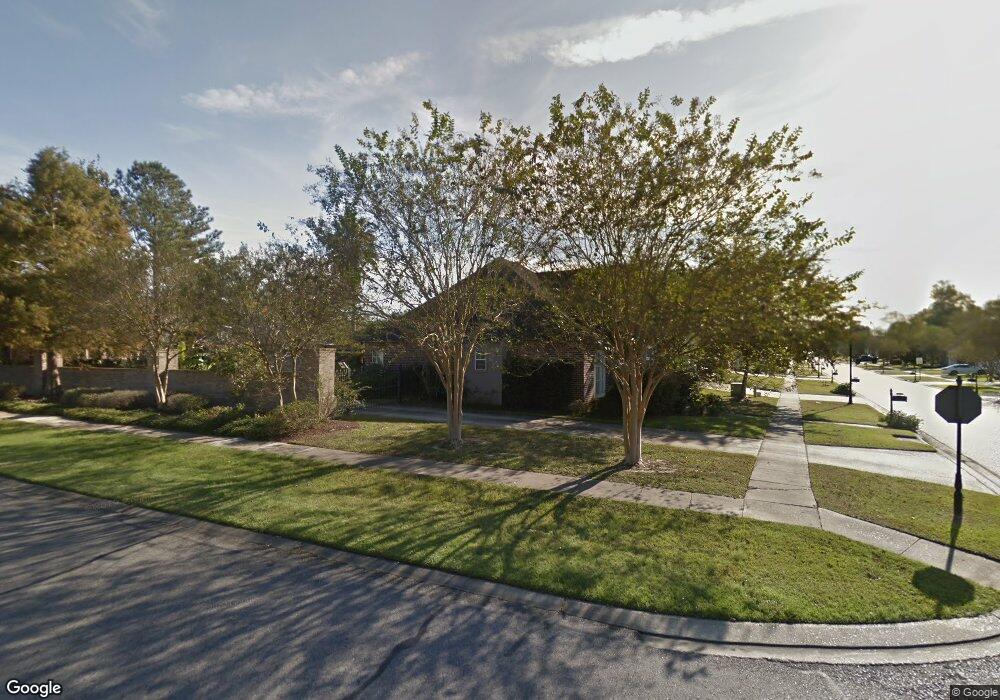
842 Carnforth Dr Baton Rouge, LA 70810
Oak Hills Place NeighborhoodEstimated Value: $424,049 - $440,000
Studio
--
Bath
2,396
Sq Ft
$181/Sq Ft
Est. Value
About This Home
This home is located at 842 Carnforth Dr, Baton Rouge, LA 70810 and is currently estimated at $434,512, approximately $181 per square foot. 842 Carnforth Dr is a home located in East Baton Rouge Parish with nearby schools including Woodlawn Middle School, Woodlawn High School, and Montessori School of Baton Rouge.
Ownership History
Date
Name
Owned For
Owner Type
Purchase Details
Closed on
Jul 14, 2003
Sold by
Borden Robert
Bought by
Beale Robert
Current Estimated Value
Home Financials for this Owner
Home Financials are based on the most recent Mortgage that was taken out on this home.
Original Mortgage
$263,055
Outstanding Balance
$111,585
Interest Rate
5.23%
Mortgage Type
New Conventional
Estimated Equity
$322,927
Create a Home Valuation Report for This Property
The Home Valuation Report is an in-depth analysis detailing your home's value as well as a comparison with similar homes in the area
Home Values in the Area
Average Home Value in this Area
Purchase History
| Date | Buyer | Sale Price | Title Company |
|---|---|---|---|
| Beale Robert | $276,900 | -- |
Source: Public Records
Mortgage History
| Date | Status | Borrower | Loan Amount |
|---|---|---|---|
| Open | Beale Robert | $263,055 |
Source: Public Records
Tax History
| Year | Tax Paid | Tax Assessment Tax Assessment Total Assessment is a certain percentage of the fair market value that is determined by local assessors to be the total taxable value of land and additions on the property. | Land | Improvement |
|---|---|---|---|---|
| 2024 | $3,822 | $40,732 | $3,600 | $37,132 |
| 2023 | $3,840 | $34,740 | $3,600 | $31,140 |
| 2022 | $3,929 | $34,740 | $3,600 | $31,140 |
| 2021 | $3,853 | $34,740 | $3,600 | $31,140 |
| 2020 | $3,826 | $34,740 | $3,600 | $31,140 |
| 2019 | $3,571 | $31,150 | $3,600 | $27,550 |
| 2018 | $3,524 | $31,150 | $3,600 | $27,550 |
| 2017 | $3,524 | $31,150 | $3,600 | $27,550 |
| 2016 | $2,613 | $31,150 | $3,600 | $27,550 |
| 2015 | $2,550 | $30,600 | $3,600 | $27,000 |
| 2014 | $2,494 | $30,600 | $3,600 | $27,000 |
| 2013 | -- | $30,600 | $3,600 | $27,000 |
Source: Public Records
Map
Nearby Homes
- 732 Troutbeck Dr
- 825 Wordsworth Dr
- 750 Wheatsheaf Dr
- 1054 Barkley Dr
- 12526 Heversham Ave
- 12116 Mirkwood Ave
- 8311 Oakbrook Dr
- 1434 Charing Cross Dr
- 1342 Barkley Dr
- 1752 Manor Oak Dr
- 9512 Siegen Ln
- 11720 Perkins Rd
- 1731 Manor Oak Dr
- 12037 Oak Haven Ave
- 1878 Mullen Dr
- 8126 Oakridge Dr
- 13105 Briargrove Ave
- 2112 Oakcliff Dr
- 1541 Quail Hollow Dr
- 13344 Natchez Ct
- 832 Carnforth Dr
- 841 Troutbeck Dr
- 831 Troutbeck Dr
- 822 Carnforth Dr
- 12451 Kentmere Ave
- 12441 Kentmere Ave
- 821 Troutbeck Dr
- 833 Carnforth Dr
- 812 Carnforth Dr
- 12431 Kentmere Ave
- 12517 Kentmere Ave
- 811 Troutbeck Dr
- 823 Carnforth Dr
- 12421 Kentmere Ave
- 756 Carnforth Dr
- 12527 Kentmere Ave
- 840 Troutbeck Dr
- 813 Carnforth Dr
- 854 Wordsworth Dr
- 850 Troutbeck Dr
Your Personal Tour Guide
Ask me questions while you tour the home.