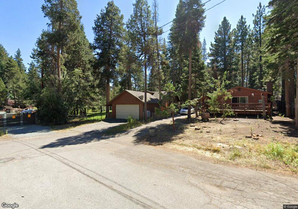
842 Hazel Dr South Lake Tahoe, CA 96150
Estimated Value: $512,889 - $575,000
2
Beds
1
Bath
963
Sq Ft
$557/Sq Ft
Est. Value
About This Home
This home is located at 842 Hazel Dr, South Lake Tahoe, CA 96150 and is currently estimated at $536,722, approximately $557 per square foot. 842 Hazel Dr is a home located in El Dorado County with nearby schools including Tahoe Valley Elementary School, South Tahoe Middle School, and South Tahoe High School.
Ownership History
Date
Name
Owned For
Owner Type
Purchase Details
Closed on
Oct 7, 2021
Sold by
Dertner Erin Lynn and Calvez Mary Susan
Bought by
Hitchcock Jessica G and Hitchcock Gregory Kent
Current Estimated Value
Home Financials for this Owner
Home Financials are based on the most recent Mortgage that was taken out on this home.
Original Mortgage
$380,000
Outstanding Balance
$346,525
Interest Rate
2.8%
Mortgage Type
New Conventional
Estimated Equity
$190,197
Purchase Details
Closed on
Jan 8, 2018
Sold by
Hitchcock Gregory Kent and Candaso Sandra Lee Carson
Bought by
Dertner Erin Lynn and Hitchcock Gregory Kent
Create a Home Valuation Report for This Property
The Home Valuation Report is an in-depth analysis detailing your home's value as well as a comparison with similar homes in the area
Home Values in the Area
Average Home Value in this Area
Purchase History
| Date | Buyer | Sale Price | Title Company |
|---|---|---|---|
| Hitchcock Jessica G | $475,000 | Old Republic Title Company | |
| Dertner Erin Lynn | -- | None Available |
Source: Public Records
Mortgage History
| Date | Status | Borrower | Loan Amount |
|---|---|---|---|
| Open | Hitchcock Jessica G | $380,000 |
Source: Public Records
Tax History Compared to Growth
Tax History
| Year | Tax Paid | Tax Assessment Tax Assessment Total Assessment is a certain percentage of the fair market value that is determined by local assessors to be the total taxable value of land and additions on the property. | Land | Improvement |
|---|---|---|---|---|
| 2025 | $4,110 | $386,572 | $92,839 | $293,733 |
| 2024 | $4,110 | $378,993 | $91,019 | $287,974 |
| 2023 | $4,038 | $371,563 | $89,235 | $282,328 |
| 2022 | $3,999 | $364,279 | $87,486 | $276,793 |
| 2021 | $1,658 | $145,075 | $22,927 | $122,148 |
| 2020 | $1,634 | $143,588 | $22,692 | $120,896 |
| 2019 | $1,626 | $140,774 | $22,248 | $118,526 |
| 2018 | $1,591 | $138,014 | $21,812 | $116,202 |
| 2017 | $1,567 | $135,309 | $21,385 | $113,924 |
| 2016 | $1,536 | $132,657 | $20,966 | $111,691 |
| 2015 | $1,460 | $130,666 | $20,652 | $110,014 |
| 2014 | $1,460 | $128,109 | $20,249 | $107,860 |
Source: Public Records
Map
Nearby Homes
- 776 Patricia Ln
- 914 Tahoe Island Dr
- 2175 Royal Ave
- 741 Tahoe Island Dr
- 724 Tahoe Island Dr
- 2191 Butler Ave
- 673 James Ave
- 2028 13th St
- 867 Clement St
- 629 James Ave
- 20149 U S 50
- 2244 Texas Ave
- 760 Clement St
- 921 Gardner St
- 1124 Tata Ln
- 2081 Venice Dr Unit 285
- 2081 Venice Dr Unit 280
- 783 Michael Ct Unit Share B
- 783 Michael Ct
- 2126 Helen Ave