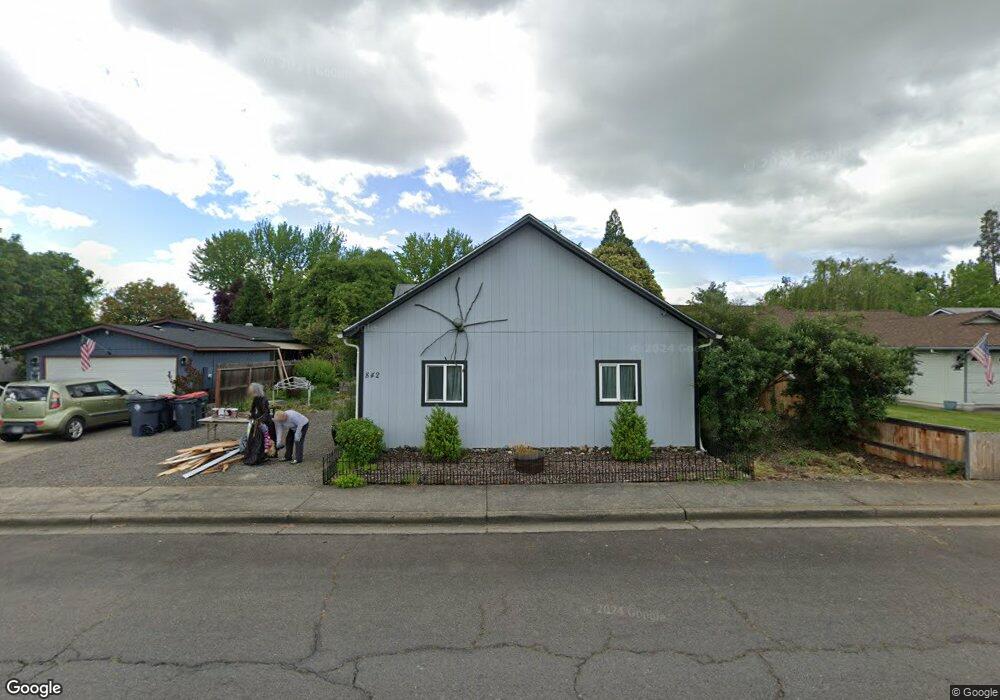
842 Hopkins Rd Central Point, OR 97502
Estimated Value: $320,000 - $408,000
2
Beds
1
Bath
1,132
Sq Ft
$314/Sq Ft
Est. Value
About This Home
This home is located at 842 Hopkins Rd, Central Point, OR 97502 and is currently estimated at $355,520, approximately $314 per square foot. 842 Hopkins Rd is a home located in Jackson County with nearby schools including Central Point Elementary School, Scenic Middle School, and Crater High School.
Ownership History
Date
Name
Owned For
Owner Type
Purchase Details
Closed on
Nov 22, 2013
Sold by
Horstman Christine A
Bought by
Horstman Cecelia A
Current Estimated Value
Home Financials for this Owner
Home Financials are based on the most recent Mortgage that was taken out on this home.
Original Mortgage
$105,500
Outstanding Balance
$78,520
Interest Rate
4.18%
Mortgage Type
New Conventional
Estimated Equity
$277,000
Purchase Details
Closed on
Dec 8, 1998
Sold by
Mckibben Carolyn Anne and Mckibben Anne J
Bought by
Horstman Christine A
Home Financials for this Owner
Home Financials are based on the most recent Mortgage that was taken out on this home.
Original Mortgage
$63,900
Interest Rate
6.78%
Create a Home Valuation Report for This Property
The Home Valuation Report is an in-depth analysis detailing your home's value as well as a comparison with similar homes in the area
Home Values in the Area
Average Home Value in this Area
Purchase History
| Date | Buyer | Sale Price | Title Company |
|---|---|---|---|
| Horstman Cecelia A | $150,000 | First American | |
| Horstman Christine A | $65,920 | Amerititle |
Source: Public Records
Mortgage History
| Date | Status | Borrower | Loan Amount |
|---|---|---|---|
| Open | Horstman Cecelia A | $105,500 | |
| Closed | Horstman Christine A | $63,900 |
Source: Public Records
Tax History Compared to Growth
Tax History
| Year | Tax Paid | Tax Assessment Tax Assessment Total Assessment is a certain percentage of the fair market value that is determined by local assessors to be the total taxable value of land and additions on the property. | Land | Improvement |
|---|---|---|---|---|
| 2025 | $3,594 | $216,190 | $66,420 | $149,770 |
| 2024 | $3,594 | $209,900 | $64,480 | $145,420 |
| 2023 | $3,479 | $203,790 | $62,610 | $141,180 |
| 2022 | $3,398 | $203,790 | $62,610 | $141,180 |
| 2021 | $3,301 | $197,860 | $60,780 | $137,080 |
| 2020 | $3,204 | $192,100 | $59,010 | $133,090 |
| 2019 | $3,125 | $181,080 | $55,620 | $125,460 |
| 2018 | $3,030 | $175,810 | $54,000 | $121,810 |
| 2017 | $2,954 | $175,810 | $54,000 | $121,810 |
| 2016 | $2,868 | $165,720 | $50,900 | $114,820 |
| 2015 | $2,748 | $165,720 | $50,900 | $114,820 |
| 2014 | $2,303 | $139,160 | $45,510 | $93,650 |
Source: Public Records
Map
Nearby Homes
- 851 Juanita Way
- 571 Briarwood Dr
- 3496 Edella St
- 921 Pittview Ave
- 928 Brandi Way
- 555 Freeman Rd Unit 128
- 555 Freeman Rd Unit 146
- 555 Freeman Rd Unit 204
- 555 Freeman Rd Unit 209
- 1060 Hopkins Rd
- 1065 Edwina Ave
- 1017 Fairfield Ave
- 301 Freeman Rd Unit 100
- 301 Freeman Rd Unit 23
- 301 Freeman Rd Unit 85
- 755 S 4th St
- 1025 Fairfield Ave
- 531 Bush St
- 881 Westrop Dr
- 840 Ash St
- 850 Hopkins Rd
- 832 Hopkins Rd
- 828 Hopkins Rd
- 858 Hopkins Rd
- 841 Juanita Way
- 3664 Bursell Rd
- 3660 Bursell Rd
- 596 Briarwood Dr
- 874 Hopkins Rd
- 581 Countryside Dr
- 3656 Bursell Rd
- 861 Juanita Way
- 859 Hopkins Rd
- 594 Briarwood Dr
- 0 Hopkins Rd
- 650 Primrose Dr
- 3672 Bursell Rd
- 892 Hopkins Rd
- 3652 Bursell Rd
- 592 Briarwood Dr