842 Lewis Branch Rd Tennessee Ridge, TN 37178
Estimated Value: $128,856 - $211,000
--
Bed
1
Bath
975
Sq Ft
$173/Sq Ft
Est. Value
About This Home
This home is located at 842 Lewis Branch Rd, Tennessee Ridge, TN 37178 and is currently estimated at $168,964, approximately $173 per square foot. 842 Lewis Branch Rd is a home located in Houston County.
Ownership History
Date
Name
Owned For
Owner Type
Purchase Details
Closed on
Dec 29, 2021
Sold by
Vinson Wambles Daniel
Bought by
Medders Daniel T and Medders Stefanie D
Current Estimated Value
Purchase Details
Closed on
Aug 18, 2016
Sold by
Wolfe Clifford K
Bought by
Wambles Daniel Vinson
Purchase Details
Closed on
Jun 11, 2015
Sold by
Clark Elsie I Adams
Bought by
Wolfe Clifford K and Wolfe Karen
Purchase Details
Closed on
Jun 1, 1970
Bought by
Adams Edagar G
Create a Home Valuation Report for This Property
The Home Valuation Report is an in-depth analysis detailing your home's value as well as a comparison with similar homes in the area
Home Values in the Area
Average Home Value in this Area
Purchase History
| Date | Buyer | Sale Price | Title Company |
|---|---|---|---|
| Medders Daniel T | $70,000 | Freedom Title | |
| Wambles Daniel Vinson | $70,000 | -- | |
| Wolfe Clifford K | $18,000 | -- | |
| Adams Edagar G | -- | -- |
Source: Public Records
Tax History Compared to Growth
Tax History
| Year | Tax Paid | Tax Assessment Tax Assessment Total Assessment is a certain percentage of the fair market value that is determined by local assessors to be the total taxable value of land and additions on the property. | Land | Improvement |
|---|---|---|---|---|
| 2024 | $583 | $32,750 | $2,200 | $30,550 |
| 2023 | $583 | $32,750 | $2,200 | $30,550 |
| 2022 | $518 | $18,500 | $1,500 | $17,000 |
| 2021 | $518 | $18,500 | $1,500 | $17,000 |
| 2020 | $502 | $18,500 | $1,500 | $17,000 |
| 2019 | $502 | $15,725 | $1,300 | $14,425 |
| 2018 | $502 | $15,725 | $1,300 | $14,425 |
| 2017 | $502 | $15,725 | $1,300 | $14,425 |
| 2016 | $278 | $15,725 | $1,300 | $14,425 |
| 2015 | $278 | $8,725 | $1,300 | $7,425 |
| 2014 | -- | $8,732 | $0 | $0 |
Source: Public Records
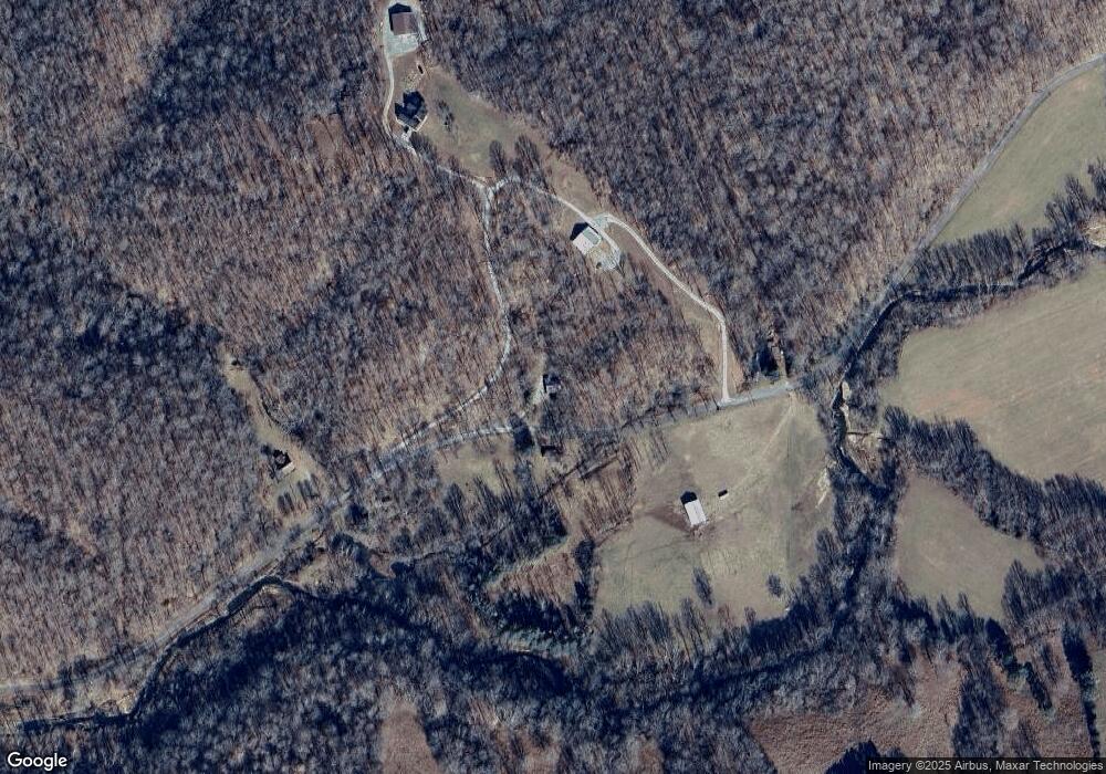
Map
Nearby Homes
- 0 Cooley Ford Rd Unit LotWP007 22557710
- 0 Cooley Ford Rd Unit RTC2974712
- 110 Peachtree St
- 155 Rolling Hills Dr
- 0 Main St N Unit RTC2988796
- 0 Main St N Unit RTC3003416
- 0 Main St N Unit RTC2987692
- 0 Main St N Unit RTC2988794
- 0 Main St N Unit RTC2988130
- 0 Main St N Unit RTC2988128
- 0 Main St N Unit RTC2987687
- 0 Main St N Unit RTC2988129
- 0 Main St N Unit RTC2988126
- 0 Main St N Unit RTC2988125
- 0 Main St N Unit RTC3003418
- 0 Main St N Unit RTC2988793
- 0 Main St N Unit RTC3006740
- 0 Main St N Unit RTC2988127
- 0 Main St N Unit RTC3003412
- 0 Taylor St Unit RTC2764411
- 927 Lewis Branch Rd Unit 950
- 700 Lewis Branch Rd
- 374 Brown Cemetery Ln
- 1252 Lewis Branch Rd
- 400 Brown Cemetery Ln
- 1334 Olson Lane Rd
- 1395 Olson Lane Rd Unit 1397
- 1078 Limekiln Rd
- 986 Olson Lane Rd
- 1790 Olson Lane Rd
- 2414 Waverly Rd
- 175 Old Schoolhouse Ln
- 1760 Waverly Rd
- 2426 Limekiln Rd
- 2032 Lewis Branch Rd