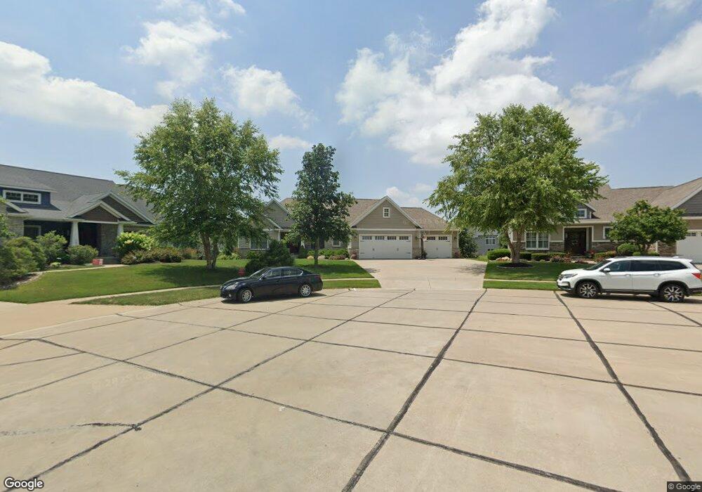
842 S 7th St Ct Eldridge, IA 52748
Estimated Value: $475,000 - $842,878
5
Beds
4
Baths
2,402
Sq Ft
$296/Sq Ft
Est. Value
About This Home
This home is located at 842 S 7th St Ct, Eldridge, IA 52748 and is currently estimated at $709,970, approximately $295 per square foot. 842 S 7th St Ct is a home with nearby schools including Edward White Elementary School, North Scott Junior High School, and North Scott Senior High School.
Ownership History
Date
Name
Owned For
Owner Type
Purchase Details
Closed on
Oct 10, 2016
Sold by
Porter Seth C and Porter Rebecca S
Bought by
Porter Seth C and Porter Rebecca S
Current Estimated Value
Purchase Details
Closed on
Aug 8, 2012
Sold by
Townsend Farm Developers Lc
Bought by
Porter Seth C and Porter Rebecca S
Create a Home Valuation Report for This Property
The Home Valuation Report is an in-depth analysis detailing your home's value as well as a comparison with similar homes in the area
Home Values in the Area
Average Home Value in this Area
Purchase History
| Date | Buyer | Sale Price | Title Company |
|---|---|---|---|
| Porter Seth C | -- | None Available | |
| Porter Seth C | $74,500 | None Available |
Source: Public Records
Mortgage History
| Date | Status | Borrower | Loan Amount |
|---|---|---|---|
| Closed | Porter Seth C | $0 |
Source: Public Records
Tax History
| Year | Tax Paid | Tax Assessment Tax Assessment Total Assessment is a certain percentage of the fair market value that is determined by local assessors to be the total taxable value of land and additions on the property. | Land | Improvement |
|---|---|---|---|---|
| 2025 | $9,270 | $792,000 | $190,400 | $601,600 |
| 2024 | $9,032 | $733,400 | $167,300 | $566,100 |
| 2023 | $8,746 | $733,400 | $167,300 | $566,100 |
| 2022 | $7,836 | $610,310 | $92,340 | $517,970 |
| 2021 | $7,836 | $564,790 | $92,340 | $472,450 |
| 2020 | $7,614 | $537,390 | $92,340 | $445,050 |
| 2019 | $7,950 | $537,390 | $92,340 | $445,050 |
| 2018 | $8,118 | $537,390 | $92,340 | $445,050 |
| 2017 | $7,576 | $537,390 | $92,340 | $445,050 |
| 2016 | $7,406 | $488,550 | $0 | $0 |
| 2015 | $7,406 | $468,740 | $0 | $0 |
| 2014 | $7,356 | $80,010 | $0 | $0 |
| 2013 | $1,234 | $0 | $0 | $0 |
Source: Public Records
Map
Nearby Homes
- 810 W Pine St
- 805 W Spring St
- 407 W Oak St
- 513 S 7th St
- 318 W Oak St
- 125 W Pinehurst Dr
- 1867 Redbud Cir Unit 103
- 1832 Redbud Cir
- 1867 Redbud Cir Unit 102
- 1867 Redbud Cir Unit 101
- 1875 Redbud Cir Unit 102
- 1875 Redbud Cir Unit 103
- 1719 S 5th St
- 1719 5th St
- 1821 Redbud Cir
- 408 S Tombergs Dr
- 1831 S 5th St
- 1704 Redbud Cir Unit 101
- 1704 Redbud Cir Unit 103
- 1704 Redbud Cir Unit 102
Your Personal Tour Guide
Ask me questions while you tour the home.