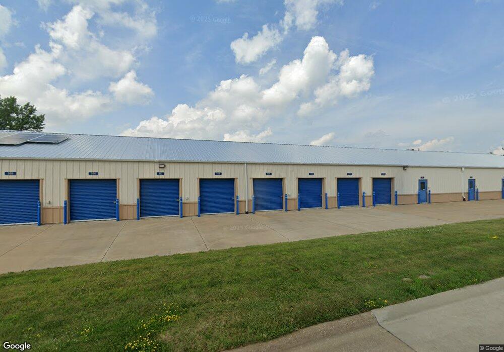
842 W 76th St Davenport, IA 52806
North Side Neighborhood
--
Bed
--
Bath
11,178
Sq Ft
3
Acres
About This Home
This home is located at 842 W 76th St, Davenport, IA 52806. 842 W 76th St is a home located in Scott County with nearby schools including Fillmore Elementary School, Wood Intermediate School, and North High School.
Ownership History
Date
Name
Owned For
Owner Type
Purchase Details
Closed on
Apr 30, 2013
Sold by
Godwin Grace E
Bought by
Decoster Family Trust
Home Financials for this Owner
Home Financials are based on the most recent Mortgage that was taken out on this home.
Original Mortgage
$424,851
Interest Rate
3.52%
Mortgage Type
Commercial
Purchase Details
Closed on
Sep 2, 2011
Sold by
Godwin Dale E and Godwin Grace E
Bought by
Godwin Dale E and Dale E Godwin Trust
Create a Home Valuation Report for This Property
The Home Valuation Report is an in-depth analysis detailing your home's value as well as a comparison with similar homes in the area
Home Values in the Area
Average Home Value in this Area
Purchase History
| Date | Buyer | Sale Price | Title Company |
|---|---|---|---|
| Decoster Family Trust | $425,000 | None Available | |
| Godwin Dale E | -- | None Available |
Source: Public Records
Mortgage History
| Date | Status | Borrower | Loan Amount |
|---|---|---|---|
| Previous Owner | Decoster Family Trust | $424,851 |
Source: Public Records
Tax History Compared to Growth
Tax History
| Year | Tax Paid | Tax Assessment Tax Assessment Total Assessment is a certain percentage of the fair market value that is determined by local assessors to be the total taxable value of land and additions on the property. | Land | Improvement |
|---|---|---|---|---|
| 2025 | $29,370 | $951,160 | $135,780 | $815,380 |
| 2024 | $29,272 | $937,030 | $135,780 | $801,250 |
| 2023 | $20,508 | $937,030 | $135,780 | $801,250 |
| 2022 | $19,960 | $641,960 | $135,780 | $506,180 |
| 2021 | $19,960 | $641,960 | $135,780 | $506,180 |
| 2020 | $19,754 | $641,960 | $135,780 | $506,180 |
| 2019 | $16,636 | $561,450 | $135,780 | $425,670 |
| 2018 | $16,670 | $561,450 | $135,780 | $425,670 |
| 2017 | $15,332 | $561,450 | $135,780 | $425,670 |
| 2016 | $12,128 | $440,000 | $0 | $0 |
| 2015 | $12,128 | $440,000 | $0 | $0 |
| 2014 | $13,268 | $440,000 | $0 | $0 |
| 2013 | $15,802 | $0 | $0 | $0 |
| 2012 | -- | $806,400 | $175,600 | $630,800 |
Source: Public Records
Map
Nearby Homes
- SEQ - Division W 76th St
- 6524 Lillie Ave
- SWQ - Division W 76th St
- Division St N & W 76th St
- Lot 56 Franklin Ave
- LOT 54 Franklin Ave
- 6308 Appomattox Rd
- Lot 26 Benjamin Ct
- 665 W 64th St
- 1265 W 63rd St
- 6922 Madison St
- 1301 W 62nd Ct
- 1629 W 66th St
- 6112 Western Ave
- 1724 W 69th St
- 6205 N Ripley St
- 000 Pacific St
- Lot 65 W 66th St
- 2008 W 70th St
- 5804 Lillie Ave
- 842 W 76th St Unit 3 1
- 842 W 76th St Unit 3
- 842 W 76th St Unit 2
- 842 W 76th St Unit 1
- 842 W 76th St Unit BLDG2
- 711 W 76th St
- 7441 Vine Street Ct
- 7441 Vine Street Ct
- 909 W 76th St
- 7301 Vine Street Ct
- 7310 Vine Street Ct
- 7310 Vine Street Ct
- 1009 W 76th St
- 7248 Gaines Street Ct Unit CT
- 1011 W 76th St
- 7240 Gaines Street Ct
- 606 W 76th St
- 501 W 76th St
- 501 W 76th St
- 501 W 76th St Unit A&B