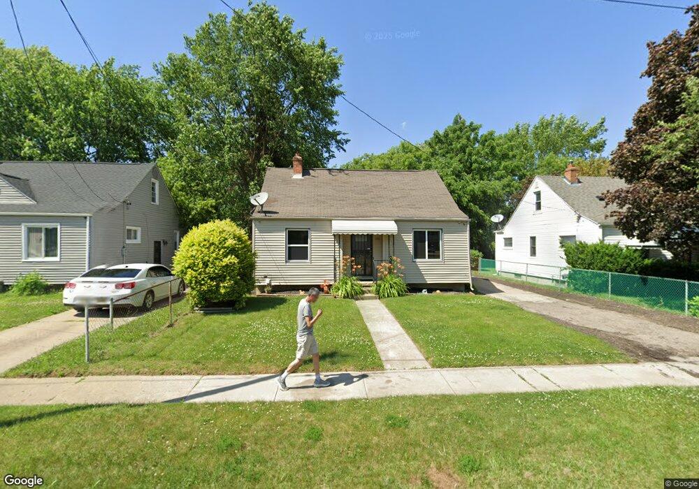
842 W Hemphill Rd Flint, MI 48507
South Side NeighborhoodEstimated Value: $71,631 - $118,000
3
Beds
1
Bath
861
Sq Ft
$99/Sq Ft
Est. Value
About This Home
This home is located at 842 W Hemphill Rd, Flint, MI 48507 and is currently estimated at $85,408, approximately $99 per square foot. 842 W Hemphill Rd is a home located in Genesee County with nearby schools including Neithercut Elementary School, Flint Southwestern Classical Academy, and International Academy of Flint (K-12).
Ownership History
Date
Name
Owned For
Owner Type
Purchase Details
Closed on
Feb 9, 2022
Sold by
Bruce Hardy
Bought by
Johnson Terranee
Current Estimated Value
Purchase Details
Closed on
Jun 24, 2020
Sold by
Hardy Bruce and Hardy Tameria
Bought by
Hardy Bruce E and Hardy Tameria
Purchase Details
Closed on
Jun 3, 2004
Sold by
Estate Of Dolores J Brooks
Bought by
Hardy Bruce and Hardy Tameria
Create a Home Valuation Report for This Property
The Home Valuation Report is an in-depth analysis detailing your home's value as well as a comparison with similar homes in the area
Home Values in the Area
Average Home Value in this Area
Purchase History
| Date | Buyer | Sale Price | Title Company |
|---|---|---|---|
| Johnson Terranee | $436 | None Listed On Document | |
| Hardy Bruce E | -- | None Available | |
| Hardy Bruce | $50,000 | Sargents Title Company |
Source: Public Records
Tax History Compared to Growth
Tax History
| Year | Tax Paid | Tax Assessment Tax Assessment Total Assessment is a certain percentage of the fair market value that is determined by local assessors to be the total taxable value of land and additions on the property. | Land | Improvement |
|---|---|---|---|---|
| 2025 | $1,418 | $29,600 | $0 | $0 |
| 2024 | $1,269 | $27,300 | $0 | $0 |
| 2023 | $1,238 | $20,600 | $0 | $0 |
| 2022 | $0 | $19,200 | $0 | $0 |
| 2021 | $1,104 | $16,800 | $0 | $0 |
| 2020 | $1,014 | $15,700 | $0 | $0 |
| 2019 | $990 | $13,300 | $0 | $0 |
| 2018 | $983 | $13,700 | $0 | $0 |
| 2017 | $958 | $0 | $0 | $0 |
| 2016 | $951 | $0 | $0 | $0 |
| 2015 | -- | $0 | $0 | $0 |
| 2014 | -- | $0 | $0 | $0 |
| 2012 | -- | $14,400 | $0 | $0 |
Source: Public Records
Map
Nearby Homes
- 4418 Brunswick Ave
- 3322 Fenton Rd
- 829 Clinton St
- 1039 Markham St
- 1186 E Decamp St
- 1151 Wells St
- 1183 Norton St
- 1031 Ingleside Ave
- 1122 Markham St
- 845 Alvord Ave
- 805 Alvord Ave
- 1219 Norton St
- 1015 Alvord Ave
- 1230 E Decamp St
- 818 Alvord Ave
- 652 Huron St
- 1210 Pinehurst Ave
- 647 Crawford St
- 1314 Pinehurst Ave
- 1234 Huron St
- 838 W Hemphill Rd
- 846 W Hemphill Rd
- 834 W Hemphill Rd
- 850 W Hemphill Rd
- 859 Markham St
- 855 Markham St
- 863 Markham St
- 841 Markham St
- 851 Markham St
- 8263 Hemphill
- 830 W Hemphill Rd
- 867 Markham St
- 845 Markham St
- 901 Markham St
- 826 W Hemphill Rd
- 907 Markham St
- 837 Markham St
- 822 W Hemphill Rd
- 913 Markham St
- 831 Markham St