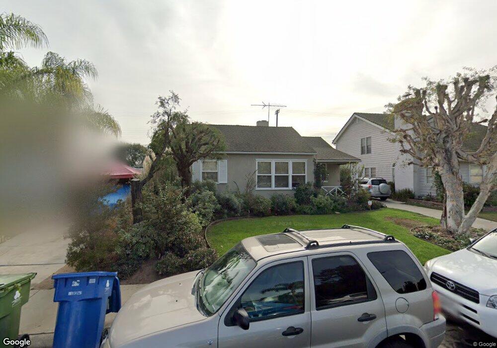
8422 Flight Ave Los Angeles, CA 90045
Westchester NeighborhoodEstimated Value: $1,304,000 - $1,434,000
3
Beds
2
Baths
1,683
Sq Ft
$824/Sq Ft
Est. Value
About This Home
This home is located at 8422 Flight Ave, Los Angeles, CA 90045 and is currently estimated at $1,386,081, approximately $823 per square foot. 8422 Flight Ave is a home located in Los Angeles County with nearby schools including Westport Heights Elementary, Wright Middle School STEAM Magnet, and Westchester Enriched Sciences Magnets.
Ownership History
Date
Name
Owned For
Owner Type
Purchase Details
Closed on
Sep 24, 2019
Sold by
Araque Eduard A and Araque Lisa
Bought by
Araque Eduard A and Araque Lisa
Current Estimated Value
Purchase Details
Closed on
Nov 18, 2010
Sold by
Araque Eduard A and Araque Lisa
Bought by
Araque Eduard A and Araque Lisa
Home Financials for this Owner
Home Financials are based on the most recent Mortgage that was taken out on this home.
Original Mortgage
$180,000
Interest Rate
4.16%
Mortgage Type
New Conventional
Purchase Details
Closed on
Oct 23, 1995
Sold by
Hendry Paul C and Hendry Cristi Broach
Bought by
Araque Edward A and Araque Lisa
Home Financials for this Owner
Home Financials are based on the most recent Mortgage that was taken out on this home.
Original Mortgage
$174,250
Interest Rate
7.51%
Mortgage Type
Balloon
Create a Home Valuation Report for This Property
The Home Valuation Report is an in-depth analysis detailing your home's value as well as a comparison with similar homes in the area
Home Values in the Area
Average Home Value in this Area
Purchase History
| Date | Buyer | Sale Price | Title Company |
|---|---|---|---|
| Araque Eduard A | -- | None Available | |
| Araque Eduard A | -- | First American Title Company | |
| Araque Edward A | $205,000 | Gateway Title |
Source: Public Records
Mortgage History
| Date | Status | Borrower | Loan Amount |
|---|---|---|---|
| Previous Owner | Araque Eduard A | $180,000 | |
| Previous Owner | Araque Edward A | $174,250 |
Source: Public Records
Tax History
| Year | Tax Paid | Tax Assessment Tax Assessment Total Assessment is a certain percentage of the fair market value that is determined by local assessors to be the total taxable value of land and additions on the property. | Land | Improvement |
|---|---|---|---|---|
| 2025 | $5,389 | $434,380 | $272,436 | $161,944 |
| 2024 | $5,389 | $425,864 | $267,095 | $158,769 |
| 2023 | $5,291 | $417,514 | $261,858 | $155,656 |
| 2022 | $5,056 | $409,328 | $256,724 | $152,604 |
| 2021 | $4,985 | $401,303 | $251,691 | $149,612 |
| 2019 | $4,839 | $389,402 | $244,227 | $145,175 |
| 2018 | $4,757 | $381,768 | $239,439 | $142,329 |
| 2016 | $4,539 | $366,946 | $230,143 | $136,803 |
| 2015 | $4,474 | $361,436 | $226,687 | $134,749 |
| 2014 | $4,496 | $354,357 | $222,247 | $132,110 |
Source: Public Records
Map
Nearby Homes
- 8421 Kittyhawk Ave
- 6133 W 83rd Place
- 8454 Naylor Ave
- 8127 Vicksburg Ave
- 8309 Barnsley Ave
- 8324 Barnsley Ave
- 8410 Alverstone Ave
- 7907 Vicksburg Ave
- 8418 Belford Ave
- 8512 Belford Ave
- 8843 De Haviland Ave
- 8841 Croydon Ave
- 8906 Yorktown Ave
- 8620 Belford Ave Unit 106
- 8650 Belford Ave Unit 119A
- 8650 Belford Ave Unit A119
- 8650 Belford Ave
- 6350 W 80th Place
- 8212 Winsford Ave
- 7933 Alverstone Ave
- 8416 Flight Ave
- 8426 Flight Ave
- 8410 Flight Ave
- 8408 Airlane Ave
- 8406 Flight Ave
- 8500 Flight Ave
- 8411 Flight Ave
- 8400 Flight Ave
- 8506 Flight Ave
- 8501 Kittyhawk Ave
- 8461 Kittyhawk Ave
- 8401 Flight Ave
- 8507 Kittyhawk Ave
- 8338 Airlane Ave
- 8457 Kittyhawk Ave
- 8421 Airlane Ave
- 8340 Flight Ave
- 8501 Flight Ave
- 8511 Kittyhawk Ave
- 8512 Flight Ave
Your Personal Tour Guide
Ask me questions while you tour the home.