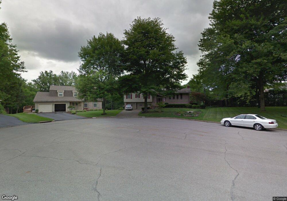
844 Cove Place Youngstown, OH 44511
Estimated Value: $284,000 - $361,000
4
Beds
3
Baths
2,026
Sq Ft
$153/Sq Ft
Est. Value
About This Home
This home is located at 844 Cove Place, Youngstown, OH 44511 and is currently estimated at $309,354, approximately $152 per square foot. 844 Cove Place is a home located in Mahoning County with nearby schools including West Boulevard Elementary School, Boardman Center Middle School, and Boardman High School.
Ownership History
Date
Name
Owned For
Owner Type
Purchase Details
Closed on
Feb 16, 2005
Sold by
Hanahan Robert M and Hanahan Martha D
Bought by
Lenhart Scott A and Lenhart Tricia R
Current Estimated Value
Home Financials for this Owner
Home Financials are based on the most recent Mortgage that was taken out on this home.
Original Mortgage
$136,000
Outstanding Balance
$69,263
Interest Rate
5.78%
Mortgage Type
Purchase Money Mortgage
Estimated Equity
$240,091
Purchase Details
Closed on
Jul 21, 1995
Sold by
Prasad Mohan
Bought by
Hanahan Robert M and Hanahan Martha D
Home Financials for this Owner
Home Financials are based on the most recent Mortgage that was taken out on this home.
Original Mortgage
$102,850
Interest Rate
7.38%
Mortgage Type
New Conventional
Purchase Details
Closed on
Jun 28, 1979
Bought by
Kolli Mohan P and Kolli Surya P
Create a Home Valuation Report for This Property
The Home Valuation Report is an in-depth analysis detailing your home's value as well as a comparison with similar homes in the area
Home Values in the Area
Average Home Value in this Area
Purchase History
| Date | Buyer | Sale Price | Title Company |
|---|---|---|---|
| Lenhart Scott A | $170,000 | -- | |
| Hanahan Robert M | $121,000 | -- | |
| Kolli Mohan P | -- | -- |
Source: Public Records
Mortgage History
| Date | Status | Borrower | Loan Amount |
|---|---|---|---|
| Open | Lenhart Scott A | $136,000 | |
| Closed | Hanahan Robert M | $102,850 |
Source: Public Records
Tax History Compared to Growth
Tax History
| Year | Tax Paid | Tax Assessment Tax Assessment Total Assessment is a certain percentage of the fair market value that is determined by local assessors to be the total taxable value of land and additions on the property. | Land | Improvement |
|---|---|---|---|---|
| 2024 | $4,031 | $79,860 | $9,880 | $69,980 |
| 2023 | $3,977 | $79,860 | $9,880 | $69,980 |
| 2022 | $3,342 | $51,270 | $8,970 | $42,300 |
| 2021 | $3,345 | $51,270 | $8,970 | $42,300 |
| 2020 | $3,362 | $51,270 | $8,970 | $42,300 |
| 2019 | $3,602 | $49,290 | $8,620 | $40,670 |
| 2018 | $3,122 | $49,290 | $8,620 | $40,670 |
| 2017 | $3,018 | $49,290 | $8,620 | $40,670 |
| 2016 | $2,918 | $45,650 | $8,620 | $37,030 |
| 2015 | $2,859 | $45,650 | $8,620 | $37,030 |
| 2014 | $2,868 | $45,650 | $8,620 | $37,030 |
| 2013 | $2,831 | $45,650 | $8,620 | $37,030 |
Source: Public Records
Map
Nearby Homes
- 990 Westport Dr
- 21.19 acres Truesdale and Lockwood Rd
- 29 Gillian Ln
- 537 W Glen Dr
- 5200 West Blvd Unit 505
- 950 Donmar Ln
- 4478 Devonshire Dr Unit 1B
- 3927 Hopkins Rd
- 272 Shields Rd
- 5670 Tracy Dr
- 4042 Baymar Dr
- 5020 Friendship Ave
- 715 Crestview Dr
- 138 Robinhood Way
- 1342 Shields Rd
- 772 Ewing Rd
- 4225 Stratford Rd
- 5097 Tippwood Ct
- 4096 Bob o Link Dr
- 2981 Louise Rita Ct
- 846 Cove Place
- 838 Westport Dr
- 842 Westport Dr
- 834 Westport Dr
- 848 Cove Place
- 852 Westport Dr
- 830 Westport Dr
- 850 Cove Place
- 866 Westport Dr
- 841 Westport Dr
- 835 Westport Dr
- 829 Westport Dr
- 845 Westport Dr
- 880 Westport Dr
- 824 Westport Dr
- 849 Westport Dr
- 821 Westport Dr
- 896 Westport Dr
- 853 Westport Dr
- 867 Westport Dr