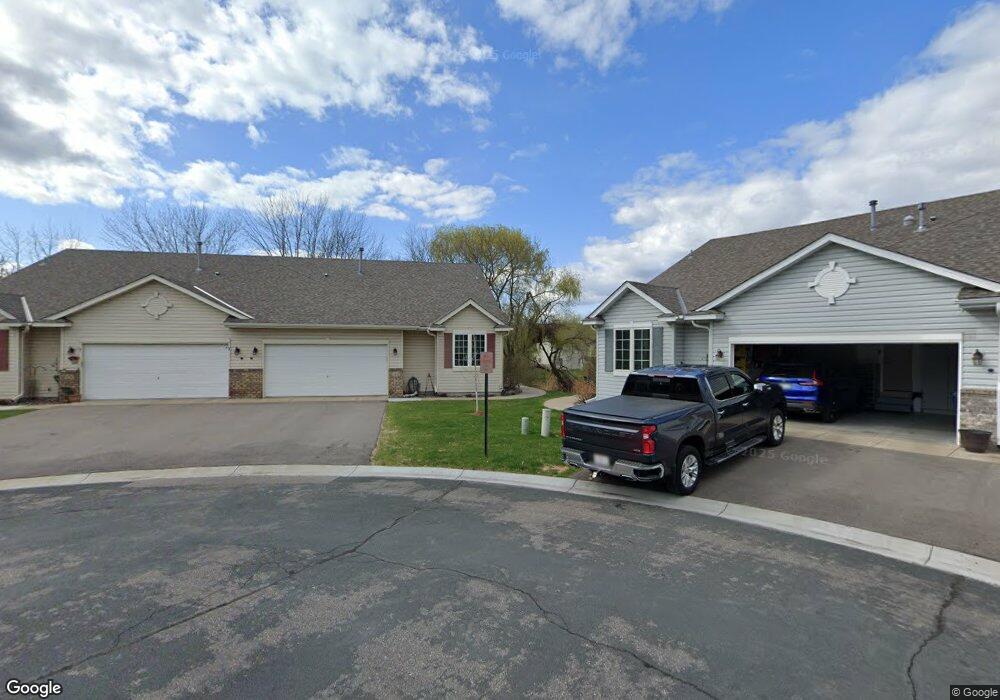
8448 Powers Place Chanhassen, MN 55317
Estimated Value: $376,000 - $416,000
2
Beds
3
Baths
1,288
Sq Ft
$310/Sq Ft
Est. Value
About This Home
This home is located at 8448 Powers Place, Chanhassen, MN 55317 and is currently estimated at $399,009, approximately $309 per square foot. 8448 Powers Place is a home located in Carver County with nearby schools including Chanhassen Elementary School, Pioneer Ridge Middle School, and Chanhassen High School.
Ownership History
Date
Name
Owned For
Owner Type
Purchase Details
Closed on
May 31, 2006
Sold by
Tabakov Antatoliy M and Tabakov Irina
Bought by
Ives Tanya L
Current Estimated Value
Home Financials for this Owner
Home Financials are based on the most recent Mortgage that was taken out on this home.
Original Mortgage
$235,200
Outstanding Balance
$139,128
Interest Rate
6.68%
Mortgage Type
New Conventional
Estimated Equity
$259,881
Purchase Details
Closed on
Jun 28, 2001
Sold by
Harms Brian E and Harms Tamara G
Bought by
Tabakov Anatoliy G and Tabakov Irina
Create a Home Valuation Report for This Property
The Home Valuation Report is an in-depth analysis detailing your home's value as well as a comparison with similar homes in the area
Home Values in the Area
Average Home Value in this Area
Purchase History
| Date | Buyer | Sale Price | Title Company |
|---|---|---|---|
| Ives Tanya L | $294,000 | -- | |
| Tabakov Anatoliy G | $250,000 | -- |
Source: Public Records
Mortgage History
| Date | Status | Borrower | Loan Amount |
|---|---|---|---|
| Open | Ives Tanya L | $235,200 |
Source: Public Records
Tax History Compared to Growth
Tax History
| Year | Tax Paid | Tax Assessment Tax Assessment Total Assessment is a certain percentage of the fair market value that is determined by local assessors to be the total taxable value of land and additions on the property. | Land | Improvement |
|---|---|---|---|---|
| 2025 | $3,826 | $391,100 | $90,100 | $301,000 |
| 2024 | $3,768 | $378,500 | $90,100 | $288,400 |
| 2023 | $3,696 | $368,700 | $85,000 | $283,700 |
| 2022 | $3,560 | $365,200 | $81,500 | $283,700 |
| 2021 | $3,814 | $306,700 | $67,900 | $238,800 |
| 2020 | $3,328 | $293,300 | $67,900 | $225,400 |
| 2019 | $3,286 | $278,200 | $64,700 | $213,500 |
| 2018 | $2,978 | $278,200 | $64,700 | $213,500 |
| 2017 | $3,132 | $248,200 | $58,800 | $189,400 |
| 2016 | $3,050 | $219,700 | $0 | $0 |
| 2015 | $2,984 | $231,300 | $0 | $0 |
| 2014 | $2,984 | $200,300 | $0 | $0 |
Source: Public Records
Map
Nearby Homes
- 8410 Burlwood Dr
- 1321 Lake Dr W Unit 216
- 8695 Flamingo Dr
- 8800 Sunset Trail
- 732 Wildflower Ln
- 763 Stonegate Rd
- 9044 Mills Dr
- 566 Mission Hills Way W
- 9085 Mills Dr
- 537 Mission Hills Dr
- 9335 Eagle Ridge Rd
- 9155 Mills Dr
- 8973 SW Village Loop
- 8933 SW Village Loop
- 7719 Nicholas Way
- 1500 Avienda Pkwy
- 1510 Avienda Pkwy
- 420 Monk Ct
- 600 Lyman Blvd
- 7639 Nicholas Way
- 8450 Powers Place
- 8445 Powers Place
- 8458 Powers Place
- 8447 Powers Place
- 8431 Egret Ct
- 8468 Powers Place
- 8469 Powers Place
- 8421 Egret Ct
- 8470 Powers Place
- 8471 Powers Place
- 8411 Egret Ct
- 8441 Egret Ct
- 8479 Powers Place
- 8440 Pelican Ct
- 8481 Powers Place
- 8450 Pelican Ct
- 8488 Powers Place
- 8440 Egret Ct
- 8489 Powers Place
- 8451 Pelican Ct