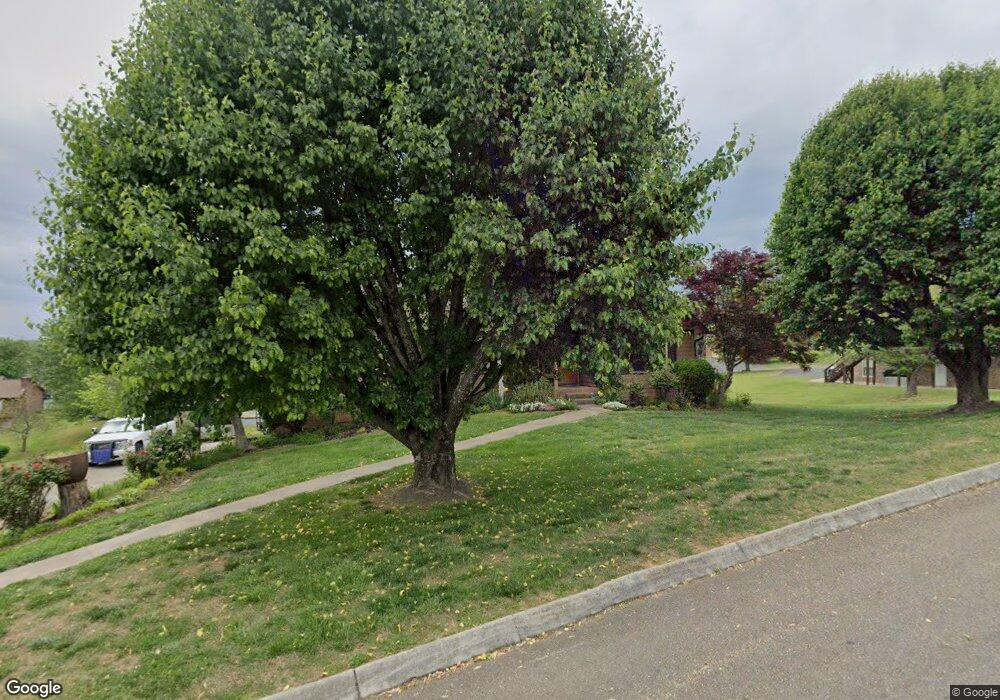
845 Dewberry Dr Morristown, TN 37814
Estimated Value: $311,640 - $413,000
--
Bed
3
Baths
1,676
Sq Ft
$219/Sq Ft
Est. Value
About This Home
This home is located at 845 Dewberry Dr, Morristown, TN 37814 and is currently estimated at $366,660, approximately $218 per square foot. 845 Dewberry Dr is a home located in Hamblen County with nearby schools including Manley Elementary School, West View Middle School, and Morristown West High School.
Ownership History
Date
Name
Owned For
Owner Type
Purchase Details
Closed on
Jul 30, 2025
Sold by
King Evelyn U and King Evelyn I
Bought by
King Evelyn I and King Evelyn U
Current Estimated Value
Purchase Details
Closed on
Jul 13, 1992
Bought by
King Evelyn U
Purchase Details
Closed on
Mar 10, 1988
Bought by
Suggs George E and Suggs Teresa G
Purchase Details
Closed on
Oct 20, 1987
Bought by
Jenkins Tom A and Jenkins Gloria
Purchase Details
Closed on
May 5, 1986
Bought by
Meadows Inc The
Purchase Details
Closed on
Mar 3, 1986
Create a Home Valuation Report for This Property
The Home Valuation Report is an in-depth analysis detailing your home's value as well as a comparison with similar homes in the area
Home Values in the Area
Average Home Value in this Area
Purchase History
| Date | Buyer | Sale Price | Title Company |
|---|---|---|---|
| King Evelyn I | -- | None Listed On Document | |
| King Evelyn U | $94,500 | -- | |
| Suggs George E | $93,500 | -- | |
| Jenkins Tom A | $13,500 | -- | |
| Meadows Inc The | -- | -- | |
| -- | -- | -- |
Source: Public Records
Tax History Compared to Growth
Tax History
| Year | Tax Paid | Tax Assessment Tax Assessment Total Assessment is a certain percentage of the fair market value that is determined by local assessors to be the total taxable value of land and additions on the property. | Land | Improvement |
|---|---|---|---|---|
| 2024 | $903 | $45,825 | $6,750 | $39,075 |
| 2023 | $903 | $45,825 | $0 | $0 |
| 2022 | $903 | $45,825 | $6,750 | $39,075 |
| 2021 | $903 | $45,825 | $6,750 | $39,075 |
| 2020 | $903 | $45,825 | $6,750 | $39,075 |
| 2019 | $849 | $39,850 | $6,975 | $32,875 |
| 2018 | $849 | $39,850 | $6,975 | $32,875 |
| 2017 | $849 | $39,850 | $6,975 | $32,875 |
| 2016 | $793 | $39,850 | $6,975 | $32,875 |
| 2015 | $737 | $39,850 | $6,975 | $32,875 |
| 2014 | -- | $39,850 | $6,975 | $32,875 |
| 2013 | -- | $42,600 | $0 | $0 |
Source: Public Records
Map
Nearby Homes
- 837 Foxglove Ln
- 3641 Meadowland Dr
- 3721 Meadowland Dr
- 985 Kidwell Ridge Rd
- 3864 Apostle Rd
- 3415 Emerald Ave
- 3245 Emerald Ave
- 725 Barton Dr
- 1019 Ashley Ct
- 2992 Clear View Rd
- 1335 Joe Stephens Rd
- 623 Landen Cir
- 1101 Drinnon Dr
- 3471 Walden Dr
- 3475 Walden Dr
- 1540 Kidwell Ridge Rd
- 1086 St Ives Ct
- 1701 Old Oak Ln
- 4193 Scarlett Dr
- 403 Cummings Ct
- 831 Dewberry Dr
- 882 Foxglove Ln
- 906 Foxglove Ln
- 868 Foxglove Ln
- 940 Foxglove Ln
- 840 Dewberry Dr
- 821 Dewberry Dr
- 824 Dewberry Dr
- 860 Foxglove Ln
- 891 Foxglove Ln
- 899 Foxglove Ln
- 875 Foxglove Ln
- 883 Foxglove Ln
- 907 Foxglove Ln
- 931 Foxglove Ln
- 852 Foxglove Ln
- 867 Foxglove Ln
- 921 Foxglove Ln
- 964 Foxglove Ln
- 941 Foxglove Ln