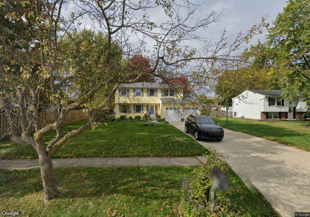
8454 Bernice Dr Strongsville, OH 44149
Estimated Value: $288,000 - $335,000
4
Beds
2
Baths
1,560
Sq Ft
$197/Sq Ft
Est. Value
About This Home
This home is located at 8454 Bernice Dr, Strongsville, OH 44149 and is currently estimated at $306,798, approximately $196 per square foot. 8454 Bernice Dr is a home located in Cuyahoga County with nearby schools including Strongsville High School, St Mary School, and Sts Joseph & John Interparochial School.
Ownership History
Date
Name
Owned For
Owner Type
Purchase Details
Closed on
Jun 24, 1994
Sold by
Browning Bobbie E
Bought by
Canning John F and Canning Christine A
Current Estimated Value
Home Financials for this Owner
Home Financials are based on the most recent Mortgage that was taken out on this home.
Original Mortgage
$97,600
Interest Rate
8.78%
Mortgage Type
New Conventional
Purchase Details
Closed on
Aug 3, 1984
Sold by
Wilson Gail A
Bought by
Browning Bobbie E and Browning Rosalie
Purchase Details
Closed on
Aug 25, 1980
Sold by
Bukovac James J
Bought by
Wilson Gail A
Purchase Details
Closed on
Jun 2, 1977
Sold by
Mino Peter L and Mino Mary E
Bought by
Bukovac James J
Purchase Details
Closed on
Jan 1, 1975
Bought by
Mino Peter L and Mino Mary E
Create a Home Valuation Report for This Property
The Home Valuation Report is an in-depth analysis detailing your home's value as well as a comparison with similar homes in the area
Home Values in the Area
Average Home Value in this Area
Purchase History
| Date | Buyer | Sale Price | Title Company |
|---|---|---|---|
| Canning John F | $122,000 | -- | |
| Browning Bobbie E | $65,000 | -- | |
| Wilson Gail A | $70,000 | -- | |
| Bukovac James J | $53,000 | -- | |
| Mino Peter L | -- | -- |
Source: Public Records
Mortgage History
| Date | Status | Borrower | Loan Amount |
|---|---|---|---|
| Closed | Canning John F | $97,600 |
Source: Public Records
Tax History Compared to Growth
Tax History
| Year | Tax Paid | Tax Assessment Tax Assessment Total Assessment is a certain percentage of the fair market value that is determined by local assessors to be the total taxable value of land and additions on the property. | Land | Improvement |
|---|---|---|---|---|
| 2024 | $4,057 | $86,415 | $19,145 | $67,270 |
| 2023 | $4,048 | $64,650 | $16,170 | $48,480 |
| 2022 | $4,019 | $64,645 | $16,170 | $48,475 |
| 2021 | $3,987 | $64,650 | $16,170 | $48,480 |
| 2020 | $3,695 | $52,990 | $13,270 | $39,730 |
| 2019 | $3,586 | $151,400 | $37,900 | $113,500 |
| 2018 | $3,255 | $52,990 | $13,270 | $39,730 |
| 2017 | $3,195 | $48,160 | $10,990 | $37,170 |
| 2016 | $3,132 | $47,600 | $10,990 | $36,610 |
| 2015 | $3,084 | $47,600 | $10,990 | $36,610 |
| 2014 | $3,084 | $46,210 | $10,680 | $35,530 |
Source: Public Records
Map
Nearby Homes
- 8902 Lincolnshire Blvd
- 8746 Barton Dr
- 9598 Pebble Brook Ln
- 9384 N Marks Rd
- 9829 Plum Brook Ln
- 8627 Courtland Dr
- 8036 Fair Rd
- 22300 Rock Creek Cir
- 10001 N Marks Rd
- 458 Sprague Rd
- 0 Priem Rd
- 8896 Firethorne Dr
- 8981 Leatherleaf Dr
- 243 Jananna Dr
- 8809 Leatherleaf Dr
- 740 Fair St
- 23004 Chandlers Ln Unit 109
- 8839 Leatherleaf Dr
- 8960 Leatherleaf Dr
- 10800 Meadow Trail
- 8442 Bernice Dr
- 22274 Jonathan Dr
- 22280 Jonathan Dr
- 8445 Barton Dr
- 8434 Bernice Dr
- 22288 Jonathan Dr
- 8437 Barton Dr
- 22268 Jonathan Dr
- 8449 Bernice Dr
- 22292 Jonathan Dr
- 8427 Barton Dr
- 8441 Bernice Dr
- 8420 Bernice Dr
- 22262 Jonathan Dr
- 8431 Bernice Dr
- 8419 Barton Dr
- 22258 Jonathan Dr
- 8400 Bernice Dr
- 8423 Bernice Dr
- 22302 Jonathan Dr