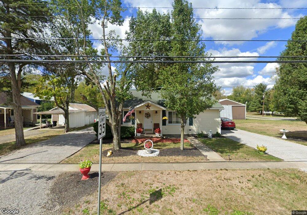
8459 State Route 132 Pleasant Plain, OH 45162
Estimated Value: $194,000 - $368,000
4
Beds
2
Baths
2,088
Sq Ft
$121/Sq Ft
Est. Value
About This Home
This home is located at 8459 State Route 132, Pleasant Plain, OH 45162 and is currently estimated at $253,260, approximately $121 per square foot. 8459 State Route 132 is a home located in Warren County with nearby schools including Little Miami Early Childhood Center, Little Miami Intermediate Middle School, and Little Miami Middle School.
Ownership History
Date
Name
Owned For
Owner Type
Purchase Details
Closed on
Jul 30, 1997
Sold by
Heller Richard C
Bought by
Willard and Cullen Joy A
Current Estimated Value
Home Financials for this Owner
Home Financials are based on the most recent Mortgage that was taken out on this home.
Original Mortgage
$70,300
Outstanding Balance
$10,695
Interest Rate
7.71%
Mortgage Type
New Conventional
Estimated Equity
$242,565
Create a Home Valuation Report for This Property
The Home Valuation Report is an in-depth analysis detailing your home's value as well as a comparison with similar homes in the area
Home Values in the Area
Average Home Value in this Area
Purchase History
| Date | Buyer | Sale Price | Title Company |
|---|---|---|---|
| Willard | $74,000 | -- |
Source: Public Records
Mortgage History
| Date | Status | Borrower | Loan Amount |
|---|---|---|---|
| Open | Willard | $70,300 |
Source: Public Records
Tax History Compared to Growth
Tax History
| Year | Tax Paid | Tax Assessment Tax Assessment Total Assessment is a certain percentage of the fair market value that is determined by local assessors to be the total taxable value of land and additions on the property. | Land | Improvement |
|---|---|---|---|---|
| 2024 | $1,566 | $48,400 | $12,650 | $35,750 |
| 2023 | $1,331 | $38,412 | $6,762 | $31,650 |
| 2022 | $1,314 | $38,413 | $6,762 | $31,651 |
| 2021 | $1,246 | $38,413 | $6,762 | $31,651 |
| 2020 | $1,104 | $31,231 | $5,499 | $25,732 |
| 2019 | $1,589 | $31,231 | $5,499 | $25,732 |
| 2018 | $1,617 | $31,231 | $5,499 | $25,732 |
| 2017 | $1,444 | $27,797 | $4,974 | $22,824 |
| 2016 | $1,476 | $27,797 | $4,974 | $22,824 |
| 2015 | $1,478 | $27,797 | $4,974 | $22,824 |
| 2014 | $1,546 | $25,980 | $4,650 | $21,330 |
| 2013 | $1,519 | $30,730 | $5,500 | $25,230 |
Source: Public Records
Map
Nearby Homes
- 8441 Morrow Woodville Rd
- 8776 New St
- 9049 State Route 132
- 7771 Misty Meadows Ct
- 85ac Templin Rd
- 9075 Debold Koebel Rd
- 7474 Misty Woods Ct
- 8842 Waynes Way
- 5 Lundy-Whitacre Rd
- 7194 Orchard View Ln
- 6888 Edwardsville Rd
- 0 Whitacre Rd Unit 1852936
- 5199 Allens Ridge Dr
- 0 St Rt 132 Unit 1831981
- 8338 Gustin Rider Rd
- 10957 Creekside Dr
- 5127 Allens Ridge Dr
- 3172 Sage Ct
- 5168 Allens Ridge Dr
- 5467 Morrow-Blackhawk Rd
- 8460 State Route 132
- 8469 Main St
- 8469 State Route 132
- 8470 Main St
- 8435 State Route 132
- 8480 Main St
- 8436 State Route 132
- 8417 Ohio 132
- 8417 Main St
- 8501 Main St
- 8587 Achterman Rd
- 8494 Walnut St
- 8510 Main St
- 8405 Main St
- 8484 Walnut St
- 8523 State Route 132
- 8530 Walnut St
- 8498 4th St
- 8524 Main St
- 8546 Walnut St