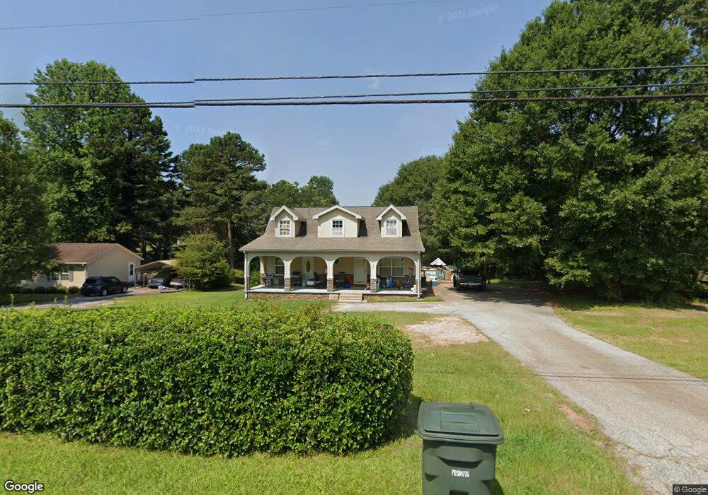
846 W Union Rd West Union, SC 29696
Estimated Value: $273,000 - $355,000
3
Beds
2
Baths
1,920
Sq Ft
$154/Sq Ft
Est. Value
About This Home
This home is located at 846 W Union Rd, West Union, SC 29696 and is currently estimated at $295,464, approximately $153 per square foot. 846 W Union Rd is a home located in Oconee County with nearby schools including Walhalla Elementary School, Walhalla Middle School, and Walhalla High School.
Ownership History
Date
Name
Owned For
Owner Type
Purchase Details
Closed on
Apr 28, 2010
Sold by
Lendmark Financial Services Inc
Bought by
Nicholson Donald B
Current Estimated Value
Home Financials for this Owner
Home Financials are based on the most recent Mortgage that was taken out on this home.
Original Mortgage
$5,000
Interest Rate
5.06%
Mortgage Type
Stand Alone Second
Purchase Details
Closed on
Nov 12, 2009
Sold by
Cruz Faustino
Bought by
Lendmark Financial Services Inc
Create a Home Valuation Report for This Property
The Home Valuation Report is an in-depth analysis detailing your home's value as well as a comparison with similar homes in the area
Home Values in the Area
Average Home Value in this Area
Purchase History
| Date | Buyer | Sale Price | Title Company |
|---|---|---|---|
| Nicholson Donald B | $99,000 | -- | |
| Lendmark Financial Services Inc | $80,000 | -- |
Source: Public Records
Mortgage History
| Date | Status | Borrower | Loan Amount |
|---|---|---|---|
| Closed | Nicholson Donald B | $5,000 |
Source: Public Records
Tax History Compared to Growth
Tax History
| Year | Tax Paid | Tax Assessment Tax Assessment Total Assessment is a certain percentage of the fair market value that is determined by local assessors to be the total taxable value of land and additions on the property. | Land | Improvement |
|---|---|---|---|---|
| 2025 | $639 | $6,096 | $390 | $5,706 |
| 2024 | $639 | $6,096 | $390 | $5,706 |
| 2023 | $647 | $6,096 | $390 | $5,706 |
| 2022 | $647 | $6,096 | $390 | $5,706 |
| 2021 | $483 | $5,776 | $368 | $5,408 |
| 2020 | $618 | $0 | $0 | $0 |
| 2019 | $618 | $0 | $0 | $0 |
| 2018 | $1,232 | $0 | $0 | $0 |
| 2017 | $483 | $0 | $0 | $0 |
| 2016 | $483 | $0 | $0 | $0 |
| 2015 | -- | $0 | $0 | $0 |
| 2014 | -- | $4,602 | $444 | $4,158 |
| 2013 | -- | $0 | $0 | $0 |
Source: Public Records
Map
Nearby Homes
- 1198 Anderson St
- 000 Anderson St
- 146 Jefferson Rd
- 115 Burns Mill Rd
- 450 Cedar Tree Dr
- 2539 Blue Ridge Blvd
- 825 & 833 Armada Way
- 209 Castlebrook Dr
- 213 Castlebrook Dr
- 217 Castlebrook Dr
- 137 W Waters Edge Ln
- 141 W Waters Edge Ln
- Lot 57 W Waters Edge Ln
- Lot 55 W Waters Edge Ln
- 117 Edney Dr
- 173 W Waters Edge Ln
- 98 E W Waters Edge Ln
- 204 Friendship Dr
- 240 E Waters Edge Ln
- 00 Branch St
- 848 W Union Rd
- 844 W Union Rd
- 852 W Union Rd Unit OAK HILL SUBDIVISION
- 852 W Union Rd
- 840 W Union Rd
- 249 Linhart Rd
- 251 Linhart Rd
- 845 W Union Rd
- 1210 Anderson St
- 1220 Anderson St
- 349 Ags Dr
- 247 Linhart Rd
- 1230 Anderson St
- 858 W Union Rd
- 1206 Anderson St
- 1234 Anderson St
- 1204 Anderson St
- 866 W Union Rd
- 00 W Union Rd
- 1227 Anderson St