8460 Highway 67 Benton, AR 72015
Estimated Value: $165,000 - $717,000
--
Bed
1
Bath
4,382
Sq Ft
$96/Sq Ft
Est. Value
About This Home
This home is located at 8460 Highway 67, Benton, AR 72015 and is currently estimated at $419,648, approximately $95 per square foot. 8460 Highway 67 is a home located in Saline County with nearby schools including Westbrook Elementary School, Harmony Grove Middle School, and Harmony Grove High School.
Ownership History
Date
Name
Owned For
Owner Type
Purchase Details
Closed on
Mar 3, 2023
Sold by
Simmons Edwin L and Simmons Brenda A
Bought by
Grant Andrew Joseph and Grant Leanne Renee
Current Estimated Value
Home Financials for this Owner
Home Financials are based on the most recent Mortgage that was taken out on this home.
Original Mortgage
$705,500
Outstanding Balance
$682,553
Interest Rate
6.13%
Mortgage Type
Construction
Estimated Equity
-$262,905
Purchase Details
Closed on
Jun 3, 2005
Sold by
Sinleton Tommy Ray
Bought by
Simmons Edwin L and Simmons Brenda A
Create a Home Valuation Report for This Property
The Home Valuation Report is an in-depth analysis detailing your home's value as well as a comparison with similar homes in the area
Home Values in the Area
Average Home Value in this Area
Purchase History
| Date | Buyer | Sale Price | Title Company |
|---|---|---|---|
| Grant Andrew Joseph | $160,000 | Waco Title | |
| Simmons Edwin L | $30,000 | -- |
Source: Public Records
Mortgage History
| Date | Status | Borrower | Loan Amount |
|---|---|---|---|
| Open | Grant Andrew Joseph | $705,500 |
Source: Public Records
Tax History Compared to Growth
Tax History
| Year | Tax Paid | Tax Assessment Tax Assessment Total Assessment is a certain percentage of the fair market value that is determined by local assessors to be the total taxable value of land and additions on the property. | Land | Improvement |
|---|---|---|---|---|
| 2025 | $5,858 | $108,089 | $4,072 | $104,017 |
| 2024 | $5,567 | $108,089 | $4,072 | $104,017 |
| 2023 | $194 | $4,072 | $4,072 | $0 |
| 2022 | $186 | $4,072 | $4,072 | $0 |
| 2021 | $178 | $1,500 | $1,500 | $0 |
| 2020 | $133 | $1,500 | $1,500 | $0 |
| 2019 | $129 | $1,500 | $1,500 | $0 |
| 2018 | $129 | $1,500 | $1,500 | $0 |
| 2017 | $129 | $1,500 | $1,500 | $0 |
| 2016 | $80 | $1,560 | $1,560 | $0 |
| 2015 | $80 | $1,560 | $1,560 | $0 |
| 2014 | $132 | $1,560 | $1,560 | $0 |
Source: Public Records
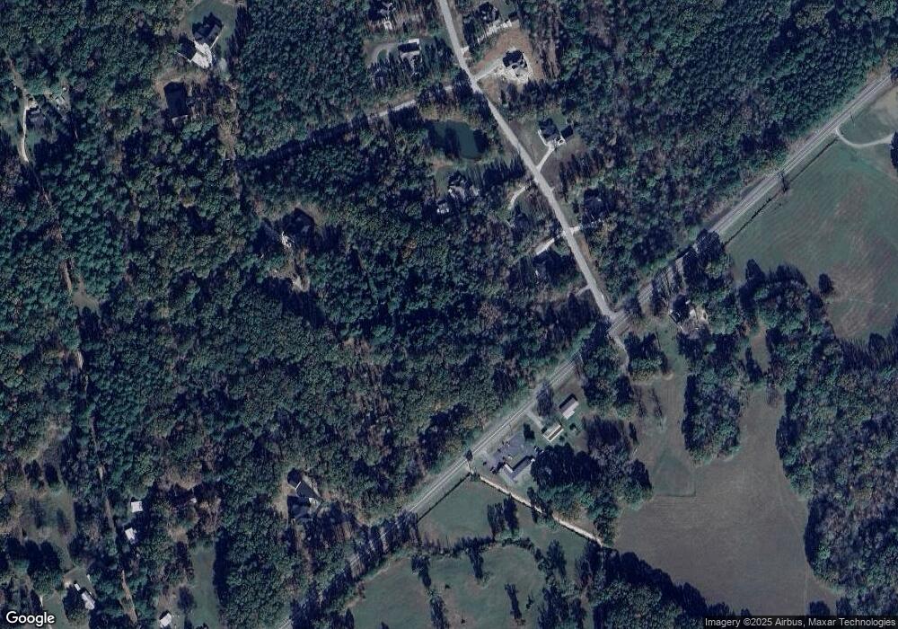
Map
Nearby Homes
- 0000 Deer Creek Rd
- 7035 Point View Rd
- 6221 Bray Dr
- 1500 Dwight Brown Rd
- 2009 Berkshire Dr
- 109 Riveria Cove
- 3914 Beacon Cove
- 4051 Whitney Ln
- 00000 Crossroads
- 6115 Point View Rd
- 810 Troutman Rd
- 143 Silver Springs Dr
- 5086 Oklahoma Inn Rd
- 105 Valderrama Dr
- 128 Silver Springs Dr
- 129 Silver Springs Dr
- 115 Harmony Hills Dr
- 112 Kee Cove
- 117 Harmony Hills Dr
- 121 Harmony Hills
- 0 Hwy 67 Unit 15031940
- 0 Hwy 67 Unit 20026571
- 0 Hwy 67 Unit 20006145
- 8460 Hwy 67
- 8460 Highway 67
- 4111 Brody Crossing
- 4119 Brody Crossing
- 8619 Highway 67
- 4129 Brody Crossing
- 8535 Highway 67
- 4112 Brody Crossing
- 4120 Brody Crossing
- 5650 Highway 67
- 4137 Brody Crossing
- 4136 Brody Crossing
- 4145 Brody Crossing
- 8886 Highway 67
- 9000 Hokes Path
- 4153 Brody Crossing
- 4144 Brody Crossing