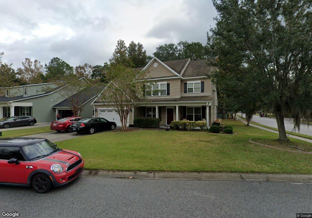
8464 Signal Island Dr North Charleston, SC 29420
Estimated Value: $492,241 - $544,000
4
Beds
3
Baths
3,127
Sq Ft
$167/Sq Ft
Est. Value
About This Home
This home is located at 8464 Signal Island Dr, North Charleston, SC 29420 and is currently estimated at $522,310, approximately $167 per square foot. 8464 Signal Island Dr is a home located in Dorchester County with nearby schools including Eagle Nest Elementary School, River Oaks Middle School, and Fort Dorchester High School.
Ownership History
Date
Name
Owned For
Owner Type
Purchase Details
Closed on
Jul 1, 2013
Sold by
Mcbride Thelma B
Bought by
Mcbride Birds Kasha Lashea and Birds Anthony Leonard
Current Estimated Value
Purchase Details
Closed on
Jun 11, 2009
Sold by
The Ryland Group Inc
Bought by
Birds Anthony L and Birds Kisha Lashea Mcbride
Home Financials for this Owner
Home Financials are based on the most recent Mortgage that was taken out on this home.
Original Mortgage
$274,256
Interest Rate
5.14%
Mortgage Type
FHA
Create a Home Valuation Report for This Property
The Home Valuation Report is an in-depth analysis detailing your home's value as well as a comparison with similar homes in the area
Home Values in the Area
Average Home Value in this Area
Purchase History
| Date | Buyer | Sale Price | Title Company |
|---|---|---|---|
| Mcbride Birds Kasha Lashea | -- | -- | |
| Birds Anthony L | $279,317 | -- |
Source: Public Records
Mortgage History
| Date | Status | Borrower | Loan Amount |
|---|---|---|---|
| Previous Owner | Birds Anthony L | $274,256 |
Source: Public Records
Tax History Compared to Growth
Tax History
| Year | Tax Paid | Tax Assessment Tax Assessment Total Assessment is a certain percentage of the fair market value that is determined by local assessors to be the total taxable value of land and additions on the property. | Land | Improvement |
|---|---|---|---|---|
| 2024 | $3,279 | $19,920 | $5,200 | $14,720 |
| 2023 | $3,279 | $11,335 | $3,000 | $8,335 |
| 2022 | $2,900 | $11,340 | $3,000 | $8,340 |
| 2021 | $2,900 | $11,340 | $3,000 | $8,340 |
| 2020 | $2,787 | $10,980 | $2,000 | $8,980 |
| 2019 | $2,747 | $10,980 | $2,000 | $8,980 |
| 2018 | $2,689 | $10,980 | $2,000 | $8,980 |
| 2017 | $2,619 | $10,980 | $2,000 | $8,980 |
| 2016 | $2,619 | $10,980 | $2,000 | $8,980 |
| 2015 | $2,612 | $10,980 | $2,000 | $8,980 |
| 2014 | -- | $278,500 | $0 | $0 |
Source: Public Records
Map
Nearby Homes
- 5456 Rising Tide
- 5470 Rising Tide
- 5411 Overland Trail
- 4912 Chartwell Dr
- 8610 Heatherglen Ct
- 5437 River Island Ct
- 4723 Cotillion Dr
- 5565 Colonial Chatsworth Cir
- 8318 Child's Cove
- 5511 Colonial Chatsworth Cir
- 5417 Ansley Trail
- 8250 Longridge Rd
- 5360 Greggs Landing
- 4606 Moss Ct
- 8607 Kennestone Ln
- 8704 Silver Perch Ln
- 8608 Hickory Creek Ln
- 5343 Tidewater Dr
- 8464 Athens Way
- 8703 Silver Perch Ln
- 8466 Signal Island Dr
- 8465 Middle River Way
- 8468 Signal Island Dr
- 8468 Middle River Way
- 8467 Middle River Way
- 5458 Rising Tide
- 8467 Signal Island Dr
- 8470 Signal Island Dr
- 8470 Middle River Way
- 5462 Rising Tide
- 8469 Signal Island Dr
- 5464 Rising Tide
- 5454 Rising Tide
- 8471 Signal Island Dr
- 8472 Signal Island Dr
- 5452 Rising Tide
- 5459 Rising Tide
- 8473 Middle River Way
- 5466 Rising Tide