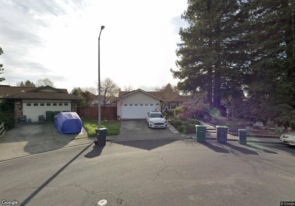
8465 Liberty Ave Rohnert Park, CA 94928
Estimated Value: $640,000 - $781,000
3
Beds
2
Baths
1,160
Sq Ft
$601/Sq Ft
Est. Value
About This Home
This home is located at 8465 Liberty Ave, Rohnert Park, CA 94928 and is currently estimated at $697,357, approximately $601 per square foot. 8465 Liberty Ave is a home located in Sonoma County with nearby schools including Rancho Cotate High School, Cross & Crown Lutheran School, and Bridghaven.
Ownership History
Date
Name
Owned For
Owner Type
Purchase Details
Closed on
Dec 31, 2001
Sold by
Capone Raymond S and Capone Soon Jin
Bought by
Porter Richard A and Porter Tricia M
Current Estimated Value
Home Financials for this Owner
Home Financials are based on the most recent Mortgage that was taken out on this home.
Original Mortgage
$275,000
Outstanding Balance
$109,896
Interest Rate
6.73%
Estimated Equity
$587,461
Create a Home Valuation Report for This Property
The Home Valuation Report is an in-depth analysis detailing your home's value as well as a comparison with similar homes in the area
Home Values in the Area
Average Home Value in this Area
Purchase History
| Date | Buyer | Sale Price | Title Company |
|---|---|---|---|
| Porter Richard A | $288,000 | Sonoma Title Guaranty Compan |
Source: Public Records
Mortgage History
| Date | Status | Borrower | Loan Amount |
|---|---|---|---|
| Open | Porter Richard A | $275,000 |
Source: Public Records
Tax History Compared to Growth
Tax History
| Year | Tax Paid | Tax Assessment Tax Assessment Total Assessment is a certain percentage of the fair market value that is determined by local assessors to be the total taxable value of land and additions on the property. | Land | Improvement |
|---|---|---|---|---|
| 2025 | $4,804 | $425,453 | $169,883 | $255,570 |
| 2024 | $4,804 | $417,111 | $166,552 | $250,559 |
| 2023 | $4,804 | $408,934 | $163,287 | $245,647 |
| 2022 | $4,707 | $400,917 | $160,086 | $240,831 |
| 2021 | $4,667 | $393,057 | $156,948 | $236,109 |
| 2020 | $4,734 | $389,027 | $155,339 | $233,688 |
| 2019 | $4,671 | $381,400 | $152,294 | $229,106 |
| 2018 | $4,580 | $373,922 | $149,308 | $224,614 |
| 2017 | $4,501 | $366,591 | $146,381 | $220,210 |
| 2016 | $4,313 | $359,404 | $143,511 | $215,893 |
| 2015 | $4,207 | $354,007 | $141,356 | $212,651 |
| 2014 | $4,175 | $347,074 | $138,588 | $208,486 |
Source: Public Records
Map
Nearby Homes
- 8440 Lasalle Ave
- 461 Lincoln Ave
- 8484 Lancaster Dr
- 293 Lincoln Ave
- 8034 Adrian Dr
- 7006 Santero Way
- 8006 Manor Ct
- 1217 Mateo Dr
- 8020 Beverly Dr
- 1214 Marque Dr
- 359 Bonnie Ave
- 220 Mendelssohn Ct
- 121 Forno Way
- 368 Bonnie Ct
- 8175 Arthur St
- 8201 Camino Colegio Unit 122
- 8201 Camino Colegio Unit 11
- 8201 Camino Colegio Unit 120
- 8201 Camino Colegio Unit 101
- 8201 Camino Colegio Unit 221
- 8459 Liberty Ave
- 8470 Lakewood Ave
- 8458 Lakewood Ave
- 8471 Liberty Ave
- 8484 Lakewood Ave
- 8452 Lakewood Ave
- 8435 Liberty Ave
- 700 Lindsay Ave
- 8488 Lakewood Ave
- 8444 Lakewood Ave
- 8419 Liberty Ave
- 8436 Liberty Ave
- 8496 Lakewood Ave
- 710 Lindsay Ave
- 8436 Lakewood Ave
- 8465 Lakewood Ave
- 8473 Lakewood Ave
- 8457 Lakewood Ave
- 8479 Lakewood Ave
- 711 Lindsay Ave