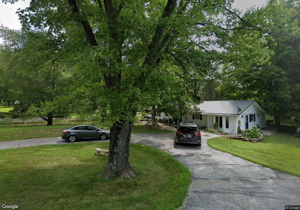
8465 N Lasalle Rd Morgantown, IN 46160
Estimated Value: $338,000 - $621,000
3
Beds
3
Baths
1,569
Sq Ft
$268/Sq Ft
Est. Value
About This Home
This home is located at 8465 N Lasalle Rd, Morgantown, IN 46160 and is currently estimated at $420,849, approximately $268 per square foot. 8465 N Lasalle Rd is a home located in Brown County with nearby schools including Brown County High School.
Ownership History
Date
Name
Owned For
Owner Type
Purchase Details
Closed on
Aug 25, 2017
Sold by
Backofen Charles W and Backofen Mary K
Bought by
Helm Mark A and Helm Mary
Current Estimated Value
Home Financials for this Owner
Home Financials are based on the most recent Mortgage that was taken out on this home.
Original Mortgage
$236,136
Outstanding Balance
$197,296
Interest Rate
3.92%
Mortgage Type
New Conventional
Estimated Equity
$223,553
Create a Home Valuation Report for This Property
The Home Valuation Report is an in-depth analysis detailing your home's value as well as a comparison with similar homes in the area
Home Values in the Area
Average Home Value in this Area
Purchase History
| Date | Buyer | Sale Price | Title Company |
|---|---|---|---|
| Helm Mark A | -- | Ata National Title Group |
Source: Public Records
Mortgage History
| Date | Status | Borrower | Loan Amount |
|---|---|---|---|
| Open | Helm Mark A | $236,136 |
Source: Public Records
Tax History Compared to Growth
Tax History
| Year | Tax Paid | Tax Assessment Tax Assessment Total Assessment is a certain percentage of the fair market value that is determined by local assessors to be the total taxable value of land and additions on the property. | Land | Improvement |
|---|---|---|---|---|
| 2024 | $646 | $245,300 | $47,700 | $197,600 |
| 2023 | $772 | $230,400 | $44,300 | $186,100 |
| 2022 | $823 | $220,400 | $44,300 | $176,100 |
| 2021 | $770 | $208,200 | $44,300 | $163,900 |
| 2020 | $617 | $186,800 | $44,300 | $142,500 |
| 2019 | $614 | $188,300 | $44,300 | $144,000 |
| 2018 | $749 | $183,900 | $44,300 | $139,600 |
| 2017 | $332 | $113,700 | $31,400 | $82,300 |
| 2016 | $328 | $114,500 | $31,400 | $83,100 |
| 2014 | $277 | $118,100 | $31,400 | $86,700 |
| 2013 | $277 | $116,300 | $31,400 | $84,900 |
Source: Public Records
Map
Nearby Homes
- 8546 N Chickadee Dr
- 8584 Old Haggard Rd
- 9660 A Old Haggard Rd
- 493 Hornettown Ln
- 9464 N State Road 135
- 7616 N Oak Ridge Rd
- 9769 N Lick Creek Rd
- 0 W Cottonwood Rd
- 5320 S Lick Creek Rd
- 5994 Pine Tree Ln
- 3399 W Cottonwood Rd
- 2289 Twinlake Dr
- 2289 Twinlake Rd
- 6368 Bluebird Trail
- 7601 S 700 W
- 290 S Marion St
- 4837 Covered Bridge Rd
- 249 Grant St
- 8942 Bean Blossom Rd
- 169 E Washington St
- 8459 N Lasalle Rd
- 8492 N Chickadee Dr
- 8423 N Lasalle Rd
- 8476 N Chickadee Dr
- 8452 N Chickadee Dr
- 8524 N Chickadee Dr
- 8414 N Lasalle Rd
- 8491 N Chickadee Dr
- 0000 Chickadee Dr
- LOT 85 Chickadee Dr
- 8299 N Lasalle Rd
- 8287 N Lasalle Rd
- 8287 La Salle Rd
- 8277 N Lasalle Rd
- 8521 N Chickadee Dr
- 8309 N Lasalle Rd
- 8410 N Chickadee Dr
- 8237 N Lasalle Rd
- 8556 N Chickadee Dr